Old Maps of Freeport, Illinois for Metal Detecting
Plan your next treasure hunt with 29 historic maps of Freeport. Find old homesites, ghost towns, trails, and gathering spots that may be lost to time — perfect for identifying promising metal detecting locations.
- Locate forgotten sites: Uncover places like long-lost settlements, abandoned rail lines, or gathering spots.
- Plan better hunts: Use map overlays combined with LiDAR or satellite views to narrow in on historically rich areas.
- Made for detectorists: Thousands of hobbyists use these maps to discover relics, coins, and hidden history.
Use these historic maps to boost your research and find new opportunities beneath the surface of Freeport.
Freeport, IL maps
(29)- 1939 Map of Freeport
 1939 Freeport1939 Print · USGSStephenson County in the late thirties is a landscape of thriving rail junctions and rural school districts. Genealogists can trace family roots through dozens of local landmarks like St James Cem, Browns Mill, and small hubs like Orangeville or Pearl City.2 unique versions available
 - 1942 Map of Forreston, 1965 Print
 1942 Forreston1965 Print · USGSForreston and the surrounding Ogle County prairie are shown during a height of rail activity in the 1940s. Genealogists can trace family roots through numerous country schools like White Oak Sch and rural landmarks such as Prairie Dell Ch and Shelly Cem.2 unique versions available
 - 1944 Map of Freeport
 1944 Freeport1944 Print · USGSThe Stephenson County seat and its outlying townships are shown in the 1940s at the peak of their rail-and-river connectivity. Researchers can trace rural school districts like Champion Hill Sch or locate ancestors at Oakland Cem and St James Cem.
 - 1945 Map of Forreston
 1945 Forreston1945 Print · USGSIn the mid-1940s, the rural landscapes of Ogle and Stephenson counties were defined by a sprawling network of one-room schoolhouses and busy rail lines. Genealogists and historians can trace family roots at West Grove Ch, Maryland, and schools like Wall Sch or Good Sch.2 unique versions available
 - 1954 Map of Rockford
 1954 Rockford1954 Print · USGSThe Rock River valley and the Illinois-Wisconsin borderlands are captured here in the mid-1950s during a period of robust industrial and agricultural activity. Genealogists and historians can trace rail-era corridors like the Illinois Central RR and locate landmarks from Big Foot Prairie to Lake Geneva.
 - 1955 Map of Rockford
 1955 Rockford1955 Print · USGSThe Rock River valley and southern Wisconsin dairy country are shown here in the mid-fifties as the region's manufacturing centers grew. Genealogists and historians can trace the paths of the Chicago and North Western RR and Illinois Central RR through hubs like Rockford and Beloit.
 - 1958 Map of Rockford, 1974 Print
 1958 Rockford1974 Print · USGSNorthern Illinois and southern Wisconsin are shown here in the mid-twentieth century as rail-dependent industrial towns began to interface with growing lakefront communities. Genealogists can trace family roots through settlements like Saylesville and Tess Corners or locate historical landmarks like the Rockford Ordnance Depot.4 unique versions available
 - 1963 Map of Rockford
 1963 Rockford1963 Print · USGSThe mid-century industrial corridor along the Rock River is shown here during a period of rapid post-war growth. Researchers can trace the extensive rail lines of the Chicago and North Western or locate local landmarks like the Rockford Ordnance Depot and Holy Hill.
 - 1971 Map of Freeport West, 1974 Print
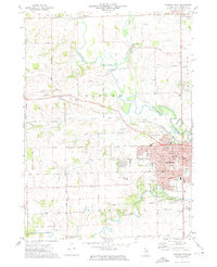 1971 Freeport West1974 Print · USGSFreeport's western expansion meets the rolling farmland of Stephenson County in the early seventies, as the Pecatonica River winds through Harlem township. Researchers can trace historic family burial sites at Hart Cem and Grandview Cem or locate the original campus layout of Highland Community College.2 unique versions available
 - 1971 Map of Freeport East, 1974 Print
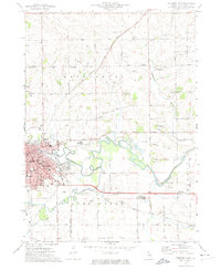 1971 Freeport East1974 Print · USGSFreeport is shown at its early 1970s peak as a regional center of rail, river, and industry. Genealogists and local historians can trace family locations near Winneshiek, the Silver Spring Cemetery, and schools like St. Stephens School.2 unique versions available
 - 1981 Map of Rockford
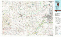 1981 Rockford1981 Print · USGSNorthern Illinois during the early eighties shows a landscape shaped by river valleys and a maturing rail network. Genealogists can trace family roots through settlements like Morseville and Buckhorn Corners while exploring the Rock River valley.2 unique versions available
 - 1983 Map of Shannon, 1984 Print
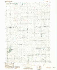 1983 Shannon1984 Print · USGSThe village of Shannon and its neighboring hamlets are captured in the early eighties as the agricultural landscape of Carroll and Stephenson counties continued to evolve. Researchers can locate the Gold Mine on its namesake road, trace the Chicago Milwaukee St Paul and Pacific rail line, or find local family sites at Shell Cem and Prairie Dell Ch.
 - 1998 Map of Freeport West, 2000 Print
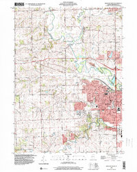 1998 Freeport West2000 Print · USGSStephenson County at the turn of the millennium shows the growth of Freeport alongside established rural hamlets. Researchers can trace family sites at Martin Cem, find early schools like Empire Sch, or follow the Pecatonica River past Scioto Mills.
 - 1999 Map of Freeport East, 2000 Print
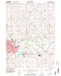 1999 Freeport East2000 Print · USGSFreeport and the surrounding Stephenson County farmland are captured here in the late 1990s as the city expanded toward the Pecatonica River. Researchers can trace family history at Lancaster Cem, locate the old Brick School, or find vanished landmarks like Browns Mill.
 - 2012 Map of Shannon, 2012 Print
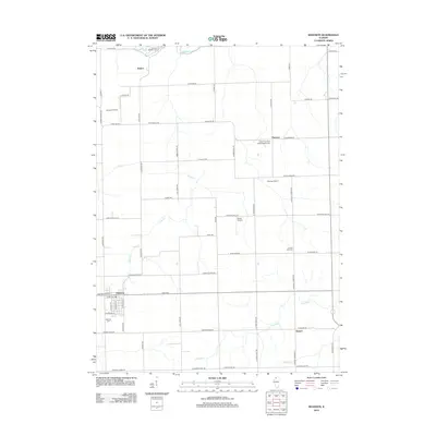 2012 Shannon2012 Print · USGSThis rural Illinois quadrangle shows the Stephenson County countryside as it appeared a decade ago. Genealogists can trace family footprints across numerous burial grounds like Saint Wendelin Cem and Shell Cem or locate the small airfields at Janssen Airport.
 - 2012 Map of Freeport East, 2012 Print
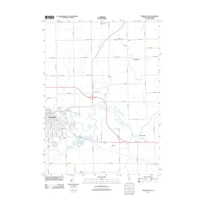 2012 Freeport East2012 Print · USGSFreeport and the surrounding Stephenson County farmland are captured here in the early 2000s, centered on the winding Pecatonica River. Family historians can locate several rural burial grounds including Gunds Cem and Lancaster Cem, or trace landmarks like Browns Mill.
 - 2012 Map of Freeport West, 2012 Print
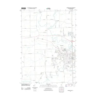 2012 Freeport West2012 Print · USGSThe western outskirts of Freeport and the winding Pecatonica River valley are captured here in the early twenty-first century. Researchers can locate numerous local burial sites like Harlem Center Cem and trace the rail infrastructure at Wallace Yards.
 - 2015 Map of Freeport West, 2015 Print
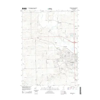 2015 Freeport West2015 Print · USGSThe western edges of Freeport and the winding Pecatonica River are captured here during the mid-2010s. Researchers can locate numerous local landmarks including Highland Community College, Scioto Mills, and the Freeport City Cem.
 - 2015 Map of Freeport East, 2015 Print
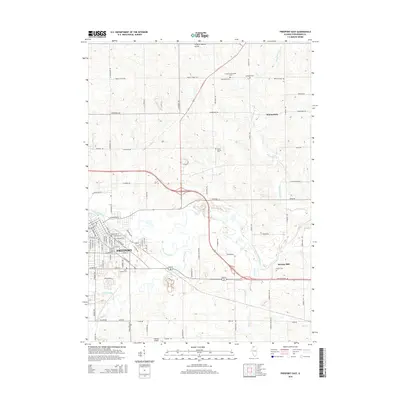 2015 Freeport East2015 Print · USGSThe eastern reaches of Freeport and the rural farming communities of Stephenson County are captured here in the mid-2010s. Genealogists and historians can trace numerous burial grounds and settlements, from Winneshiek to Saint Joseph Cem and Browns Mill.
 - 2015 Map of Shannon, 2015 Print
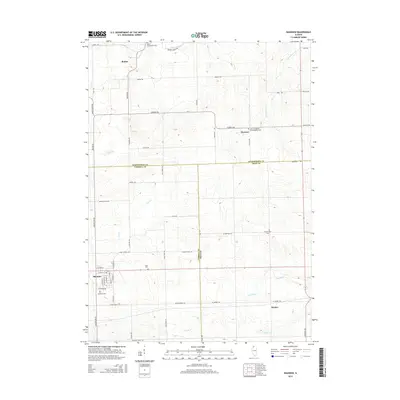 2015 Shannon2015 Print · USGSNorthwestern Illinois farm country comes into focus in this mid-2010s survey of the Carroll and Stephenson county lines. Genealogists can trace family burial sites at Shell Cem or Lane Evangelical United Baptist Cem near the village of Shannon.
 - 2018 Map of Freeport East, 2018 Print
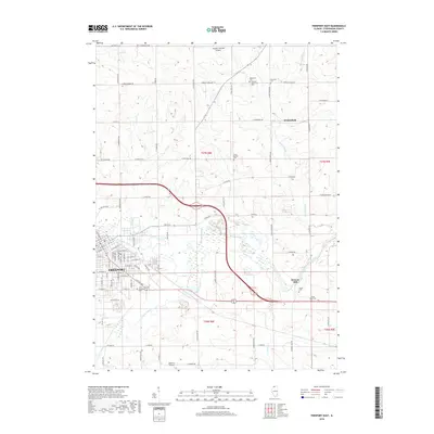 2018 Freeport East2018 Print · USGSFreeport and the surrounding Stephenson County prairies are documented here in the late twenty-teens. Researchers can locate many local burial sites such as Saint Josephs Cem and Gunds Cem, or trace the winding path of the Pecatonica River past Browns Mill.
 - 2018 Map of Freeport West, 2018 Print
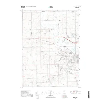 2018 Freeport West2018 Print · USGSThe western outskirts of Freeport and the winding Pecatonica River valley are captured in this recent survey. Genealogists can trace numerous local burial sites like Oakland Freeport Cem and Grandview Cem, while exploring the rural hamlets of Damascus and Scioto Mills.
 - 2018 Map of Shannon, 2018 Print
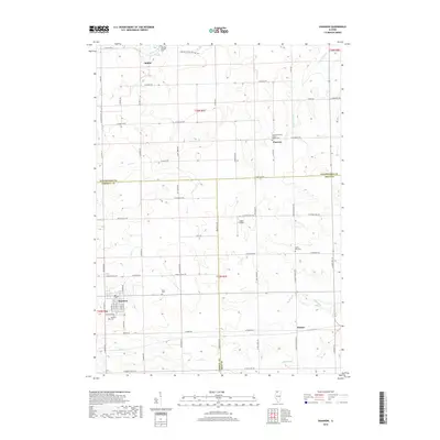 2018 Shannon2018 Print · USGSThe rural borderlands of Stephenson and Carroll counties are meticulously documented here in the late twenty-teens. Researchers can trace family history through several burial sites like Shell Cem and Ellis Van Brocklin Cem or locate the village centers of Shannon and Florence.
 - 2021 Map of Freeport West, 2021 Print
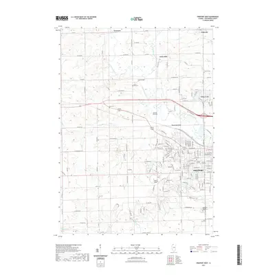 2021 Freeport West2021 Print · USGSNorthwest Illinois at the turn of the decade shows the westward growth of Freeport into a landscape of river valleys and rural cemeteries. Researchers can locate family heritage at Freeport City Cem or trace the Pecatonica River past Scioto Mills and Ducks Misery.
 - 2021 Map of Freeport East, 2021 Print
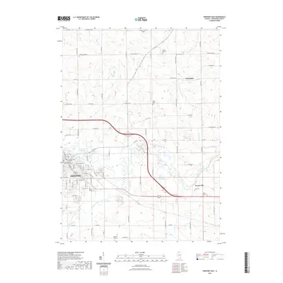 2021 Freeport East2021 Print · USGSIn this modern look at Stephenson County, the urban streets of Freeport give way to a dense network of historic rural cemeteries and river valleys. Genealogists and historians can trace family plots at Saint Joseph Cem or explore the landscape around Winneshiek and Browns Mill.
Showing maps 1-25 of 29
Top cities near Freeport
- Mount Morris historical maps
- Lena historical maps
- Forreston historical maps
- Lanark historical maps
- Rock Grove historical maps
- Oneco historical maps
See more
Top neighborhoods of Freeport
- Campus Estates historical maps
- Cherokee Hills historical maps
- Cliff Creek Estates historical maps
- Countryside Estates historical maps
- Windwood historical maps
- Winter Heights historical maps
See more
Frequently asked questions
- What are the different types of historical maps available for Freeport?
- What is the oldest map of Freeport?
- Where can I purchase historical maps of Freeport for my home or office?
- Where can I download high-res historical maps of Freeport?
- Are there historical topographic maps available for Freeport?
- Is there historical aerial imagery available for Freeport?
- Where are historical maps of Freeport sourced from?