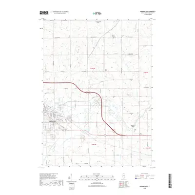
2018 Map of Freeport East
USGS Topo · Published 2018About this map
The Pecatonica River and its associated wetlands dominate the landscape east of Freeport, where the city’s residential streets transition into the fertile agricultural lands of Stephenson County. This 2018 survey reveals a territory deeply tied to its rural heritage, anchored by the small settlement of Winneshiek and the historic site at Browns Mill. The area is particularly rich in genealogical data, preserving numerous burial grounds including the Saint Josephs Cem, Mennonite Cem, and Lancaster Cem, reflecting the diverse religious history of the region.
Find a feature on this map
55 named features on this map. Tap any name to fly to it.
Don’t see what you’re looking for? This feature index may not catch every label — zoom into the map to look around manually.
Map Details
Editions of this 2018 Freeport East Map
This is the sole edition of this map. No revisions or reprints were ever made.
Other maps of this area

1922 · Oregon
USGS Topo · 1:62,500

1924 · Oregon
USGS Topo · 1:62,500

1932 · Pecatonica
USGS Topo · 1:62,500

1936 · Pecatonica
USGS Topo · 1:62,500

1939 · Freeport
USGS Topo · 1:48,000

1942 · Forreston
USGS Topo · 1:62,500

1944 · Freeport
USGS Topo · 1:62,500

1945 · Forreston
USGS Topo · 1:62,500

1954 · Rockford
USGS Topo · 1:250,000

1955 · Rockford
USGS Topo · 1:250,000