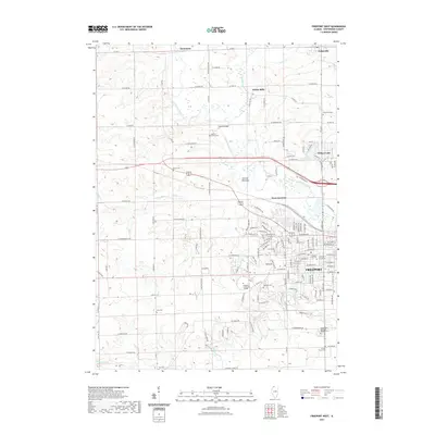
2021 Map of Freeport West
USGS Topo · Published 2021About this map
The Pecatonica River winds through the heart of this landscape, carving out the wide Preston Bottoms and a marshy bend aptly named Ducks Misery. This northwestern Illinois terrain is defined by the expansion of Freeport toward its western outskirts, where Highland Community College stands as a local educational hub. The map serves as a vital record for genealogists, documenting a dense network of burial sites from the large Freeport City Cem and Oakland Cem to smaller rural grounds like Harlem Center Cem and the Hart Cem. Outside the city, the land transitions into a mix of small settlements and river crossings, including Damascus and Scioto Mills, while the confluence of rail and road at West Junction highlights the region's historic transportation infrastructure. The map also traces various smaller waterways such as Preston Cr and Yellow Creek as they feed into the primary river system.
Find a feature on this map
85 named features on this map. Tap any name to fly to it.
Don’t see what you’re looking for? This feature index may not catch every label — zoom into the map to look around manually.
Map Details
Editions of this 2021 Freeport West Map
This is the sole edition of this map. No revisions or reprints were ever made.
Other maps of this area

1937 · Lena
USGS Topo · 1:48,000

1939 · Freeport
USGS Topo · 1:48,000

1942 · Mt Carroll
USGS Topo · 1:62,500

1942 · Lena
USGS Topo · 1:62,500

1942 · Forreston
USGS Topo · 1:62,500

1943 · Lena
USGS Topo · 1:62,500

1944 · Mt Carroll
USGS Topo · 1:62,500

1944 · Freeport
USGS Topo · 1:62,500

1945 · Forreston
USGS Topo · 1:62,500

1954 · Rockford
USGS Topo · 1:250,000