Old Maps of Nashville, Indiana for Academic Research
Study the evolution of Nashville with 24 high-resolution historic maps. Whether you're teaching, researching, or modeling changes in land use, these maps provide essential visual documentation of urban, environmental, and geographic change.
- Analyze long-term change: Track patterns in development, transportation, and natural features.
- Ideal for environmental or urban studies: Support academic projects with primary historical map data.
- Use in the classroom or lab: Educators and researchers rely on these maps to bring historical context to life.
These maps are a powerful tool for teaching, research, and visualizing how Nashville has changed over the decades.
Nashville, IN maps
(24)- 1942 Map of Franklin
 1942 Franklin1942 Print · USGSCentral Indiana during the early years of the war shows a landscape of established rail towns and growing military installations. Genealogists can trace family names across small settlements like Nineveh, Bean Blossom, and Helmsburg, or locate the Indiana University Observatory.
 - 1946 Map of Belmont, 1960 Print
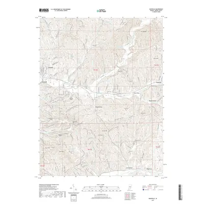
 1946 Belmont1960 Print · USGSMid-century Brown County is captured here at a time when remote ridge-top cemeteries and rural schoolhouses still defined the local geography. Genealogists can locate family sites like Brummet Cem, the T C Steele Memorial, and the West Toll House.2 unique versions available
 - 1947 Map of Nashville, 1960 Print
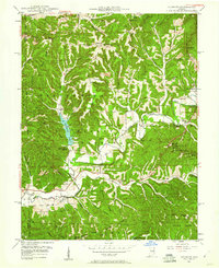
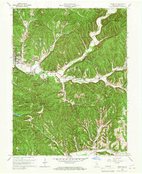
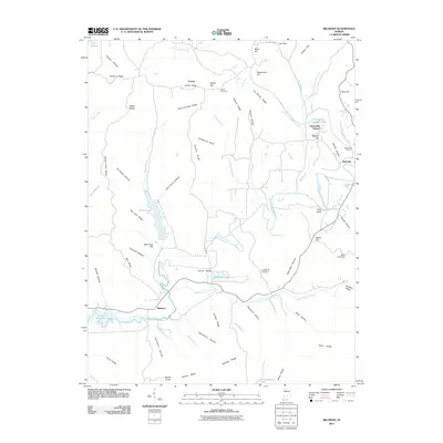
 1947 Nashville1960 Print · USGSBrown County’s intricate ridges and hollows are captured here in the late 1940s, showing the early bounds of the state park and national forest. Researchers can locate vanished landmarks like Clark Sch, the crossroads at Gnaw Bone, and the high point of Weed Patch Hill.
 - 1949 Map of Nashville
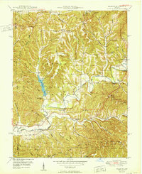
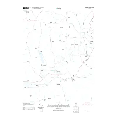
 1949 Nashville1949 Print · USGSNashville and the surrounding Brown County ridges are captured here in the late 1940s. Genealogists can trace family names through landmarks like Seelmaer Hill, local schools such as Mt Liberty Sch, and the unique crossroads of Gnaw Bone.2 unique versions available
 - 1950 Map of Belmont
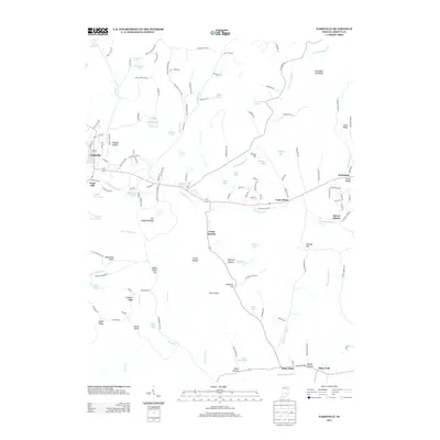
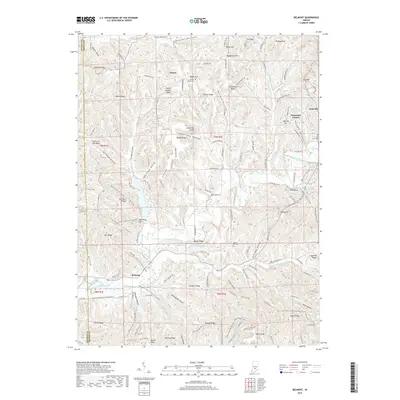
 1950 Belmont1950 Print · USGSThe Brown County hill country in 1950 shows a landscape of ridge-top roads and secluded valley settlements. Genealogists can trace family names at the T C Steele Memorial, Duncan Ch, and Brummet Cem among the deep hollows.
 - 1953 Map of Indianapolis, 1965 Print
 1953 Indianapolis1965 Print · USGSCentral Indiana and the Illinois borderlands are captured in the mid-sixties, showing the growth of Indianapolis and its industrial rail corridors. Genealogists and historians can trace the development of outlying towns like Zionsville or Beech Grove and find landmarks such as Atterbury AAF and Turkey Run State Park.4 unique versions available
 - 1956 Map of Indianapolis
 1956 Indianapolis1956 Print · USGSCentral Indiana in the mid-fifties is captured during a period of industrial growth and military presence. Genealogists and historians can trace the rail networks of the New York Central or locate regional landmarks like Fort Benjamin Harrison and Camp Atterbury.
 - 1957 Map of Indianapolis
 1957 Indianapolis1957 Print · USGSCentral Indiana in the mid-fifties is captured here as a crossroads of major rail lines and nascent federal highways. Genealogists and historians can trace family-named ridges like Poplar Ridge or locate strategic sites like Camp Atterbury and Speedway.2 unique versions available
 - 1961 Map of Nashville, 1963 Print
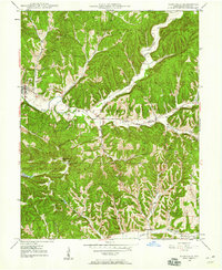
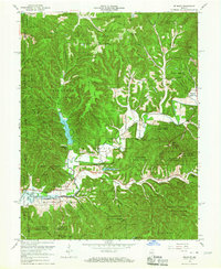
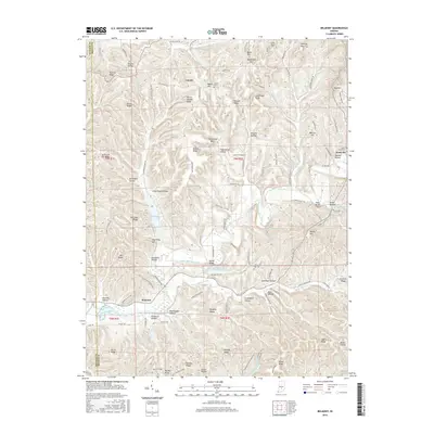
 1961 Nashville1963 Print · USGSThe hills of Brown County are captured here in the early sixties, showing the integration of forest preserves and small rural crossroads. Researchers can locate family landmarks like Reeves Cem, historic St Agnes Ch, and the curious settlement of Gnaw Bone.5 unique versions available
 - 1962 Map of Indianapolis
 1962 Indianapolis1962 Print · USGSCentral Indiana and the Illinois borderlands are captured here in the early sixties, showing the region's dense rail networks and growing urban centers. Genealogists and historians can locate family-named landmarks and institutions like Crown Hill Cem, Indiana University, and the Indianapolis Motor Speedway.
 - 1966 Map of Belmont, 1967 Print
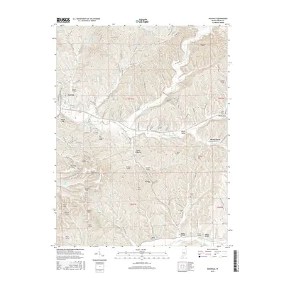
 1966 Belmont1967 Print · USGSBrown County’s rugged ridge country is captured here during the mid-sixties as new conservation projects and reservoirs transformed the rural landscape. Genealogists and local historians can trace family sites like the West Tollhouse, Oak Grove Ch, and Hickory Hill Cem.4 unique versions available
 - 1986 Map of Bloomington
 1986 Bloomington1986 Print · USGSMid-century development and vast conservation areas define south-central Indiana during the eighties. Genealogists and historians can trace family roots through numerous landmarks like Beanblossom Cem, New Unionville Church, and the historic corridors of the Indiana RR.3 unique versions available
 - 1998 Map of Belmont, 2003 Print
 1998 Belmont2003 Print · USGSBrown County's rugged ridges and forest reserves are captured here at the close of the twentieth century. Genealogists and local historians can trace family land near Belmont, find the West Tollhouse, or locate rural landmarks like Hickory Hill Cem and Oak Grove Ch.
 - 1998 Map of Nashville, 2003 Print
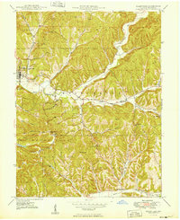
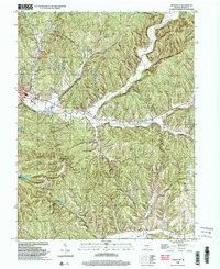 1998 Nashville2003 Print · USGSNashville and the surrounding Brown County ridges are shown here in the late twentieth century, before modern development further altered the hollows. Genealogists can trace family footprints at Graw Bone Cem, Reeves Cem, and the old Township Sch.
 - 2010 Map of Nashville, 2010 Print
 2010 Nashville2010 Print · USGSCovers Nashville, including Mount Liberty, Camp Roberts, and other nearby areas
 - 2011 Map of Belmont, 2011 Print
 2011 Belmont2011 Print · USGSCovers Nashville, including Belmont, Lanam, and other nearby areas
 - 2013 Map of Belmont, 2013 Print
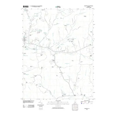
 2013 Belmont2013 Print · USGSCovers Nashville, including Belmont, Lanam, and other nearby areas
 - 2013 Map of Nashville, 2013 Print
 2013 Nashville2013 Print · USGSCovers Nashville, including Mount Liberty, Camp Roberts, and other nearby areas
 - 2016 Map of Nashville, 2016 Print
 2016 Nashville2016 Print · USGSCovers Nashville, including Mount Liberty, Camp Roberts, and other nearby areas
 - 2016 Map of Belmont, 2016 Print
 2016 Belmont2016 Print · USGSCovers Nashville, including Belmont, Lanam, and other nearby areas
 - 2019 Map of Nashville, 2019 Print
 2019 Nashville2019 Print · USGSCovers Nashville, including Mount Liberty, Camp Roberts, and other nearby areas
 - 2019 Map of Belmont, 2019 Print
 2019 Belmont2019 Print · USGSCovers Nashville, including Belmont, Lanam, and other nearby areas
 - 2022 Map of Nashville, 2022 Print
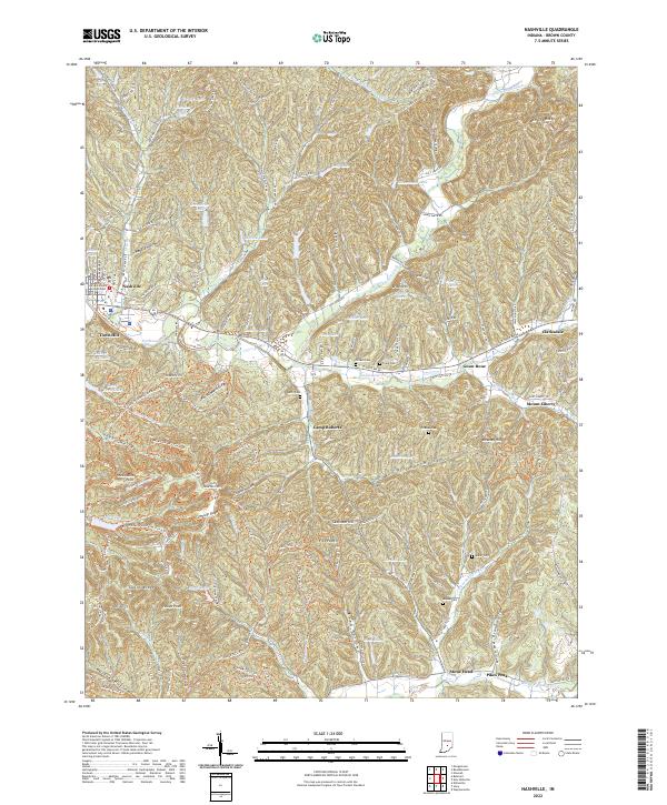 2022 Nashville2022 Print · USGSNashville and the surrounding ridges of Brown County are documented here in recent years, showing the area's intricate network of hollows and highland parks. Trace local heritage through the sites of Gnaw Bone, Stone Head, and the Brown County Courthouse.
 - 2022 Map of Belmont, 2022 Print
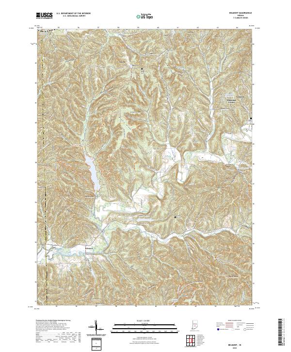 2022 Belmont2022 Print · USGSThe wooded ridges and hollows of Brown County are documented here in the early twenty-first century, centered on the North Fork Salt Creek watershed. Genealogists and historians can locate family landmarks like Lanam Ridge Cem and South View Cem, alongside the small communities of Nashville, Lanam, and Belmont.
End of results
Showing maps 1-24 of 24
Top cities near Nashville
- Columbus historical maps
- Martinsville historical maps
- Nineveh historical maps
- Princes Lakes historical maps
- Trafalgar historical maps
- Morgantown historical maps
Frequently asked questions
- What are the different types of historical maps available for Nashville?
- What is the oldest map of Nashville?
- Where can I purchase historical maps of Nashville for my home or office?
- Where can I download high-res historical maps of Nashville?
- Are there historical topographic maps available for Nashville?
- Is there historical aerial imagery available for Nashville?
- Where are historical maps of Nashville sourced from?