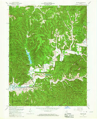
1966 Map of Belmont
USGS Topo · Published 1967About this map
Yellowwood State Forest and the Hoosier National Forest dominate this mid-century landscape in Brown County, where managed conservation lands began to reshape the old homesteading topography. The 1966 revision shows the recent emergence of the Monroe Reservoir at the western edge, along with the development of Annandale Estates and smaller water bodies like Somerset Lake. Despite this modernization, vestiges of earlier settlement remain visible in the placement of the Oak Grove Ch, Duncan Ch, and the West Tollhouse. The area is characterized by a dense network of ridges and hollows, such as Scarce Fat Ridge and Pettys Garden Ridge, which dictated the winding paths of rural roads. The TC Steele State Memorial stands as a cultural anchor in the southwest, preserving the connection between the region's artistic heritage and its distinctive terrain.
Find a feature on this map
69 named features on this map. Tap any name to fly to it.
Don’t see what you’re looking for? This feature index may not catch every label — zoom into the map to look around manually.
Map Details
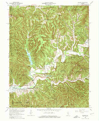
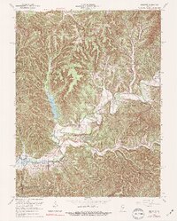
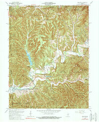
Editions of this 1966 Belmont Map
4 editions found
Other maps of this area

1942 · Franklin
USGS Topo · 1:125,000

1946 · Belmont
USGS Topo · 1:24,000

1947 · Allens Creek
USGS Topo · 1:24,000

1947 · Unionville
USGS Topo · 1:24,000

1947 · Nashville
USGS Topo · 1:24,000

1947 · Elkinsville
USGS Topo · 1:24,000

1947 · Franklin
USGS Topo · 1:62,500

1948 · Hindustan
USGS Topo · 1:24,000

1948 · Fruitdale
USGS Topo · 1:24,000

1948 · Morgantown
USGS Topo · 1:24,000