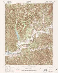
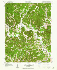
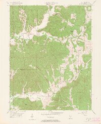
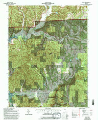
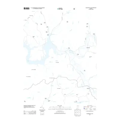
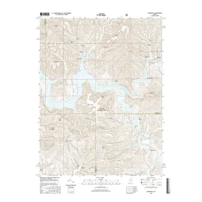
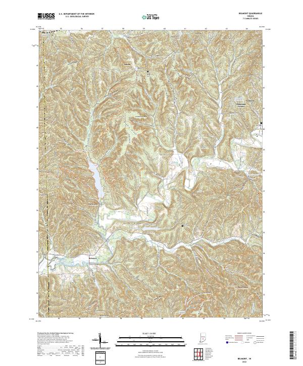
1966 Map of Belmont
USGS Topo · Published 1974About this map
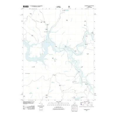
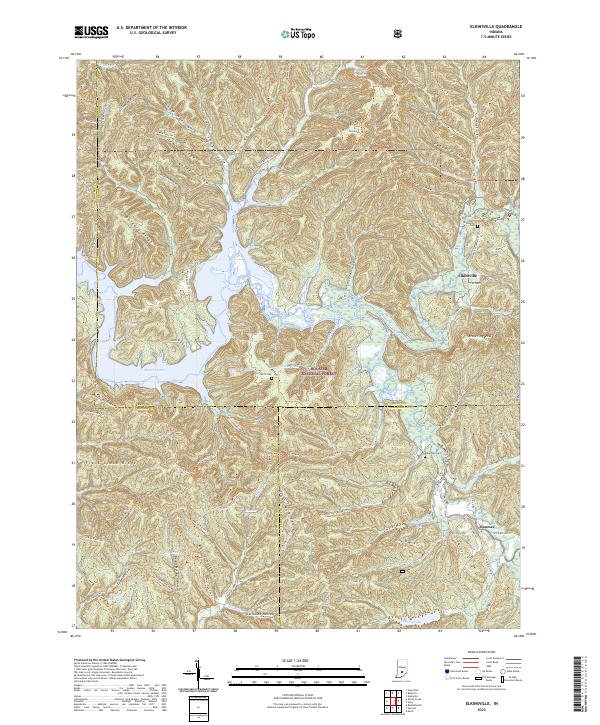
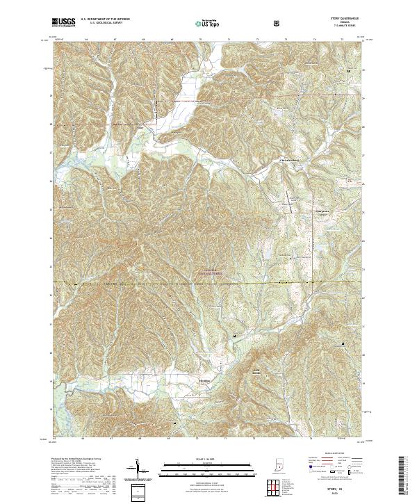
The T C Steele State Memorial anchors the southwestern corner of this mid-century survey, preserving the legacy of the Impressionist artist amidst the high ridges of Brown County. The landscape is defined by the convergence of massive public lands, including the Yellowwood State Forest and portions of the Hoosier National Forest. These protected woodlands are dissected by a network of drainage systems, most notably Salt Creek and the long, branching reach of Yellowwood Lake.
Find a feature on this map
73 named features on this map. Tap any name to fly to it.
Don’t see what you’re looking for? This feature index may not catch every label — zoom into the map to look around manually.
Map Details
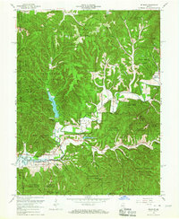
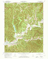
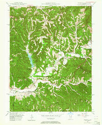
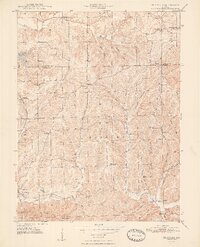
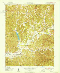
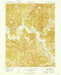
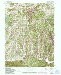
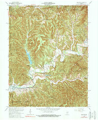
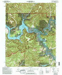
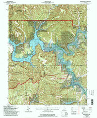
Editions of this 1966 Belmont Map
4 editions found
Historical Maps of Nashville Through Time
32 maps found
1946 Belmont
Brown County, IN
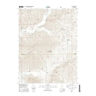
1947 Elkinsville
Brown County, IN
1948 Fruitdale
Brown County, IN
1950 Belmont
Brown County, IN
1950 Elkinsville
Brown County, IN
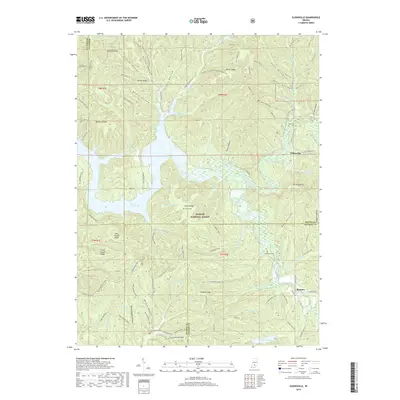
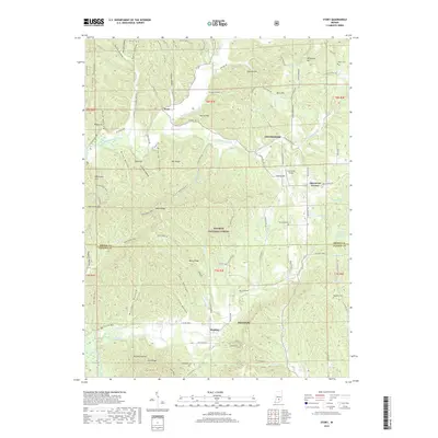
1956 Story
Brown County, IN
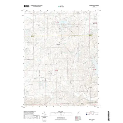
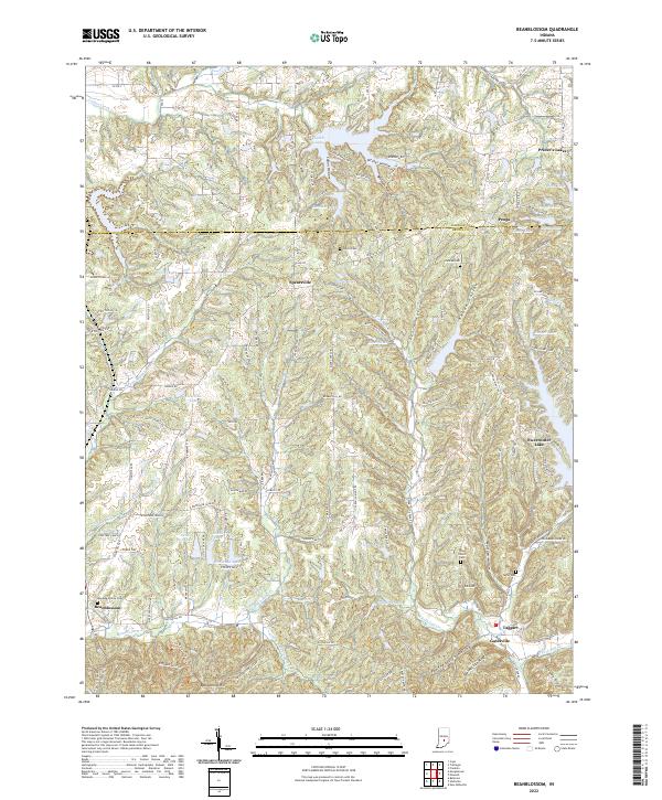
1962 Beanblossom
Brown County, IN
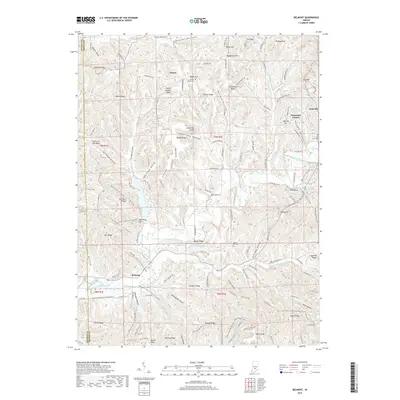
1966 Belmont
Brown County, IN
1966 Elkinsville
Brown County, IN
1967 Story
Brown County, IN
1993 Elkinsville
Brown County, IN

1998 Belmont
Brown County, IN
2010 Beanblossom
Brown County, IN
2011 Belmont
Brown County, IN
2011 Elkinsville
Brown County, IN
2011 Story
Brown County, IN
2013 Beanblossom
Brown County, IN
2013 Belmont
Brown County, IN
2013 Elkinsville
Brown County, IN
2013 Story
Brown County, IN
2016 Beanblossom
Brown County, IN
2016 Belmont
Brown County, IN
2016 Elkinsville
Brown County, IN
2016 Story
Brown County, IN
2019 Beanblossom
Brown County, IN
2019 Belmont
Brown County, IN
2019 Elkinsville
Brown County, IN
2019 Story
Brown County, IN
2022 Beanblossom
Brown County, IN
2022 Belmont
Brown County, IN
2022 Elkinsville
Brown County, IN
2022 Story
Brown County, IN