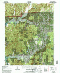
1967 Map of Story
USGS Topo · Published 1996About this map
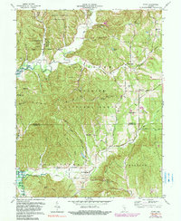
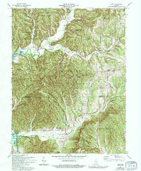
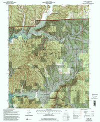
Brown County State Park and the Hoosier National Forest dominate this landscape, showing a region defined by public timberlands and protected watersheds. The tiny settlements of Story and Houston serve as historical anchors in a heavily dissected terrain of high ridges like Nebo Ridge and Bard Knobs. The drainage of Salt Creek and its many forks, including Middle Fork Salt Creek and Little Salt Creek, provide the fundamental structure for the area's few roads, such as Buffalo Road and Treaty Line Road. Genealogists will find several remote burial grounds preserved within the forest boundaries, including Mt Zion Cem and McKinley Cem. The map also identifies modern conservation efforts through labeled wildlife viewing areas at Blaine Pond and Schott Pond, illustrating the transition from 19th-century subsistence homesteading to 20th-century recreation and reforestation.
Find a feature on this map
48 named features on this map. Tap any name to fly to it.
Don’t see what you’re looking for? This feature index may not catch every label — zoom into the map to look around manually.
Map Details
Editions of this 1967 Story Map
7 editions found
Other maps of this area

1934 · Bedford
USGS Topo · 1:48,000

1937 · Bedford
USGS Topo · 1:62,500

1942 · Franklin
USGS Topo · 1:125,000

1946 · Belmont
USGS Topo · 1:24,000

1947 · Nashville
USGS Topo · 1:24,000

1947 · Elkinsville
USGS Topo · 1:24,000

1948 · New Bellsville
USGS Topo · 1:24,000

1948 · Waymansville
USGS Topo · 1:24,000

1949 · Nashville
USGS Topo · 1:24,000

1950 · Belmont
USGS Topo · 1:24,000