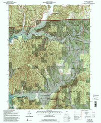
1967 Map of Story
USGS Topo · Published 1996About this map
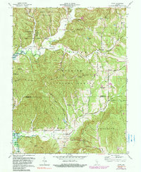
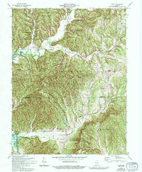
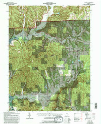
The settlement of Story serves as a central landmark in this 1967 revision, situated where the Middle Fork Salt Creek and Salt Creek converge. The landscape is dominated by the intersecting boundaries of Brown County State Park, Yellowwood State Forest, and the Hoosier National Forest. These protected lands preserve a ridge-and-hollow topography, including distinctive elevations like Browning Hill and Hominy Mortar Ridge.
Find a feature on this map
46 named features on this map. Tap any name to fly to it.
Don’t see what you’re looking for? This feature index may not catch every label — zoom into the map to look around manually.
Map Details
Editions of this 1967 Story Map
7 editions found
Other maps of this area

1934 · Bedford
USGS Topo · 1:48,000

1937 · Bedford
USGS Topo · 1:62,500

1942 · Franklin
USGS Topo · 1:125,000

1946 · Belmont
USGS Topo · 1:24,000

1947 · Nashville
USGS Topo · 1:24,000

1947 · Elkinsville
USGS Topo · 1:24,000

1948 · New Bellsville
USGS Topo · 1:24,000

1948 · Waymansville
USGS Topo · 1:24,000

1949 · Nashville
USGS Topo · 1:24,000

1950 · Belmont
USGS Topo · 1:24,000