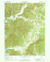
1967 Map of Story
USGS Topo · Published 1976About this map
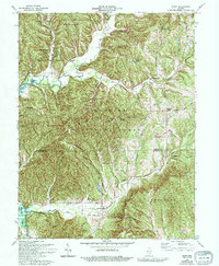
Story and Elkinsville anchor this southern Indiana landscape during a period of transition for the drainage of the Middle Fork Salt Creek. The southwestern portion of the map shows the rising waters of the Monroe Reservoir (at its normal pool elevation of 538), which fundamentally altered the valley of the Salt Creek. The map provides significant genealogical value through its many family-named cemeteries, including Moffitt Cem, Lutes Cem, and McKinney Cem, alongside isolated rural churches like Mt Zion Ch. This 1967 revision depicts the overlapping boundaries of the Hoosier National Forest, Brown County State Park, and Yellowwood State Forest. Old travel ways are still visible, such as the Old Indian Road and the National Forest Boundary Road, tracing the ridgelines of Pruitt Ridge and Hominy Mortar Ridge through the Bald Knobs.
Find a feature on this map
49 named features on this map. Tap any name to fly to it.
Don’t see what you’re looking for? This feature index may not catch every label — zoom into the map to look around manually.
Map Details
Editions of this 1967 Story Map
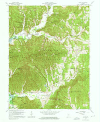
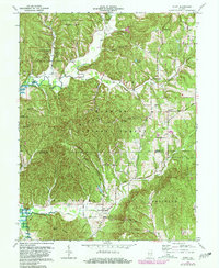
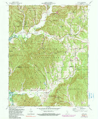
7 editions found
Other maps of this area

1934 · Bedford
USGS Topo · 1:48,000

1937 · Bedford
USGS Topo · 1:62,500

1942 · Franklin
USGS Topo · 1:125,000

1946 · Belmont
USGS Topo · 1:24,000

1947 · Nashville
USGS Topo · 1:24,000

1947 · Elkinsville
USGS Topo · 1:24,000

1948 · New Bellsville
USGS Topo · 1:24,000

1948 · Waymansville
USGS Topo · 1:24,000

1949 · Nashville
USGS Topo · 1:24,000

1950 · Belmont
USGS Topo · 1:24,000