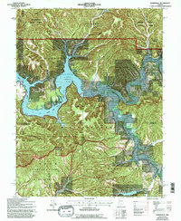
1966 Map of Elkinsville
USGS Topo · Published 1996About this map
Monroe Lake dominates the central landscape of this mid-century survey, its fingers reaching deep into the forested valleys of the Hoosier National Forest. The map documents a period of significant conservation and recreational transition, showing the large Charles C Deam Wilderness and the Maumee Boy Scout Reservation tucked along the shoreline. Small settlements like Elkinsville and Browning remain as pockets of local history, with Tevault Cem and Fleetwood Cem providing vital links for genealogists tracing family ties in the rugged hollows of Brown County State Park. Along the ridges, the Hickory Ridge Lookout Tower stands near the intersection of various drainage basins, including the Middle Fork Salt Creek and Crooked Creek. This topographical study preserves the intricate network of family-named landmarks like Frank Grubb Ridge and Murphy Hollow before further modernization changed the character of these southern Indiana woodlands.
Find a feature on this map
62 named features on this map. Tap any name to fly to it.
Don’t see what you’re looking for? This feature index may not catch every label — zoom into the map to look around manually.
Map Details
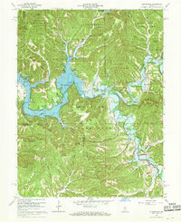
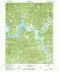
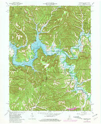
Editions of this 1966 Elkinsville Map
4 editions found
Other maps of this area

1934 · Bedford
USGS Topo · 1:48,000

1937 · Bedford
USGS Topo · 1:62,500

1942 · Franklin
USGS Topo · 1:125,000

1946 · Belmont
USGS Topo · 1:24,000

1947 · Allens Creek
USGS Topo · 1:24,000

1947 · Unionville
USGS Topo · 1:24,000

1947 · Nashville
USGS Topo · 1:24,000

1947 · Elkinsville
USGS Topo · 1:24,000

1949 · Nashville
USGS Topo · 1:24,000

1950 · Belmont
USGS Topo · 1:24,000