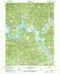
1966 Map of Elkinsville
USGS Topo · Published 1971About this map
Monroe Reservoir dominates the center of this 1960s landscape, illustrating the transformative impact of the U.S. Army Corps of Engineers project on the Salt Creek valley. At a normal pool elevation of 538 feet, the backwaters reach deep into the winding hollows and along the Middle Fork Salt Creek. The map documents the rural community of Elkinsville and the nearby Spanker locality just as the reservoir altered local geography and access.
Find a feature on this map
50 named features on this map. Tap any name to fly to it.
Don’t see what you’re looking for? This feature index may not catch every label — zoom into the map to look around manually.
Map Details
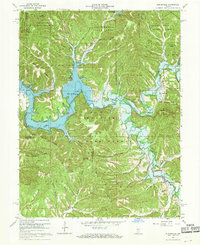
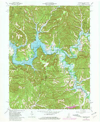
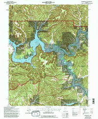
Editions of this 1966 Elkinsville Map
4 editions found
Other maps of this area

1934 · Bedford
USGS Topo · 1:48,000

1937 · Bedford
USGS Topo · 1:62,500

1942 · Franklin
USGS Topo · 1:125,000

1946 · Belmont
USGS Topo · 1:24,000

1947 · Allens Creek
USGS Topo · 1:24,000

1947 · Unionville
USGS Topo · 1:24,000

1947 · Nashville
USGS Topo · 1:24,000

1947 · Elkinsville
USGS Topo · 1:24,000

1949 · Nashville
USGS Topo · 1:24,000

1950 · Belmont
USGS Topo · 1:24,000