Old Maps of Logansport, Indiana for Genealogy
Trace your family roots with 30 historic maps of Logansport. These high-res maps reveal old neighborhoods, homesites, landmarks, and streets — helping you uncover where your ancestors lived and how the area evolved over time.
- Explore historic neighborhoods: Identify where your relatives may have lived in the 1800s or 1900s.
- Compare maps over time: Trace the changes in streets, buildings, and landmarks for multi-generational research.
- Perfect for genealogy & ancestry research: Used by family historians and researchers to map out lineage and migration.
These maps are an incredible resource for exploring your personal connection to Logansport's past.
Logansport, IN maps
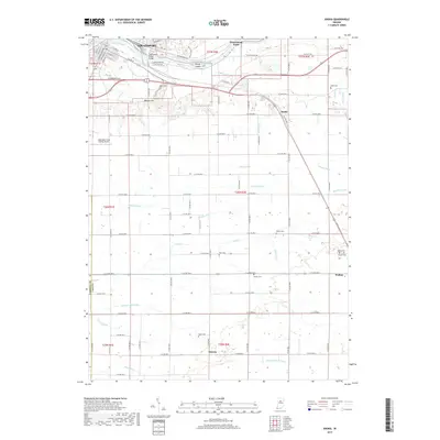
(30)- 1953 Map of Danville, 1965 Print
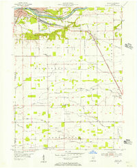
 1953 Danville1965 Print · USGSIndiana and Illinois crossroads come to life in this mid-century survey as the interstate era begins to reshape the river-and-rail landscape. Genealogists and collectors can trace the historic paths of the Nickel Plate railroad or locate smaller communities like Veedersburg, Goodland, and Bismarck.3 unique versions available
 - 1955 Map of Danville
 1955 Danville1955 Print · USGSThe Indiana-Illinois borderlands during the mid-fifties reveal a landscape of thriving rail hubs and university towns. Researchers can trace the legacy of Purdue University, the Tippecanoe Battlefield, and the path of the Pennsylvania RR.
 - 1955 Map of Logansport, 1957 Print
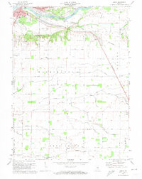
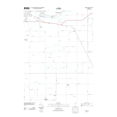
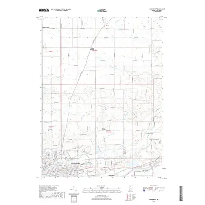
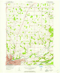 1955 Logansport1957 Print · USGSLogansport sits at the historic meeting of the Wabash and Eel Rivers during the mid-fifties, serving as a vital rail and transit hub. Genealogists can trace family roots at Mt Hope Cem, visit the St Francis of Assisi Novitiate, or follow the Old Michigan Road north to Metea.
 - 1955 Map of Anoka, 1957 Print
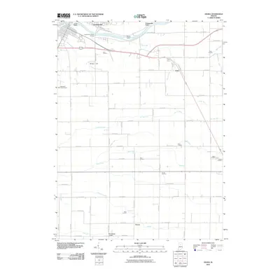
 1955 Anoka1957 Print · USGSThe convergence of the Wabash and Eel rivers at Logansport in the mid-1950s reveals a landscape of industrial hubs and rural townships. Genealogists can trace family roots through numerous sites like Walton Odd Fellows Cem, Blue Ball Ch, and the settlement at Anoka.
 - 1956 Map of Danville
 1956 Danville1956 Print · USGSMid-century Indiana and Illinois are captured here as the river-and-rail economy evolved into the modern highway era. Researchers can trace ancestral roots and old transport lines through Logansport, Battle Ground, and the dams at Lake Shafer.
 - 1960 Map of Lucerne, 1963 Print
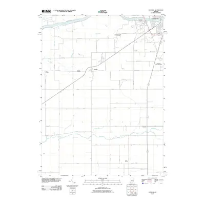
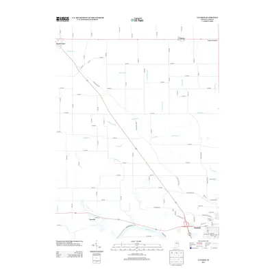
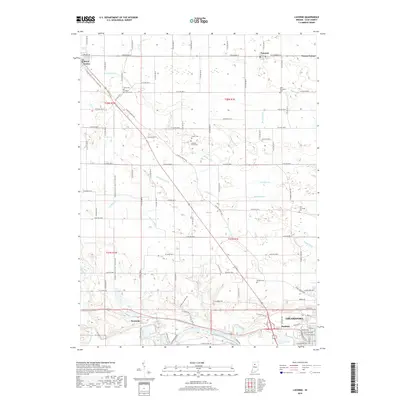
 1960 Lucerne1963 Print · USGSCass County farmland meets the industrial north of Logansport in the early sixties, as the local rail and river economy transitioned for a new decade. Trace family history through landmarks like Royal Center Cem, Shiloh Ch, and the Old Indian Treaty Boundary.2 unique versions available
 - 1962 Map of Clymers, 1964 Print
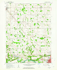
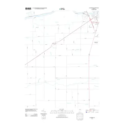
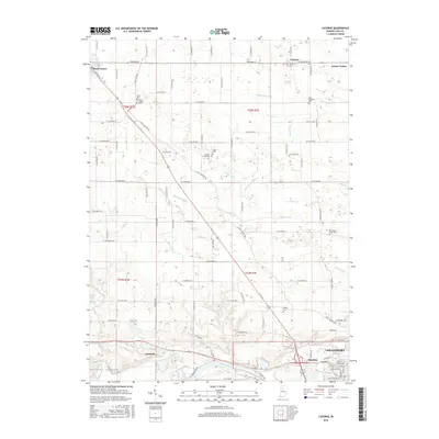
 1962 Clymers1964 Print · USGSThe river and rail corridors of Cass County are documented here in the early 1960s as Logansport expands. Genealogists and local historians can trace family locations near St Johns Cem, the community of Clymers, and the Wabash and Erie Canal.3 unique versions available
 - 1972 Map of Anoka, 1974 Print
 1972 Anoka1974 Print · USGSCass County in the early seventies shows the city of Logansport expanding toward the islands of the Wabash River. Genealogists and local researchers can trace family landmarks like Taber Cem, Deacon, and the Penn Central rail line.3 unique versions available
 - 1972 Map of Logansport, 1974 Print
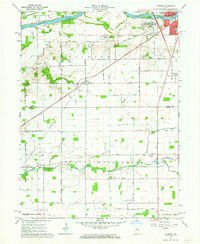
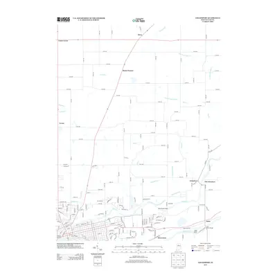
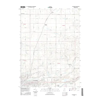
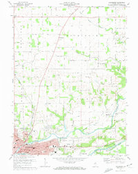 1972 Logansport1974 Print · USGSThe river-and-rail hub of Logansport is captured in the early 1970s, showing the city's growth at the confluence of the Eel and Wabash. Researchers can trace historic church sites like Bethlehem Church and local landmarks such as Wilson Gem or the Drive-in Theater.2 unique versions available
 - 1985 Map of Logansport
 1985 Logansport1985 Print · USGSNorth-central Indiana in the mid-eighties shows a landscape of river-fed towns and significant military aviation hubs. Genealogists and local historians can trace the rail corridors of the Conrail or locate sites like River View Cem and the crossroads at Twelve Mile.2 unique versions available
 - 2010 Map of Lucerne, 2010 Print
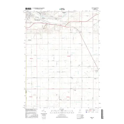
 2010 Lucerne2010 Print · USGSCovers Logansport, including Royal Center, Lucerne, and other nearby areas
 - 2010 Map of Logansport, 2010 Print
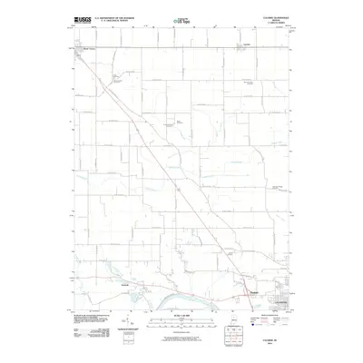
 2010 Logansport2010 Print · USGSCovers Logansport, including Danes, Verona, and other nearby areas
 - 2010 Map of Clymers, 2010 Print
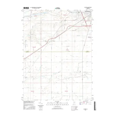
 2010 Clymers2010 Print · USGSCovers Logansport, including Clymers, Cass County, and other nearby areas
 - 2010 Map of Anoka, 2010 Print
 2010 Anoka2010 Print · USGSCovers Logansport, including Deacon, Walton, and other nearby areas
 - 2013 Map of Anoka, 2013 Print
 2013 Anoka2013 Print · USGSCovers Logansport, including Deacon, Walton, and other nearby areas
 - 2013 Map of Logansport, 2013 Print
 2013 Logansport2013 Print · USGSCovers Logansport, including Danes, Verona, and other nearby areas
 - 2013 Map of Lucerne, 2013 Print
 2013 Lucerne2013 Print · USGSCovers Logansport, including Royal Center, Lucerne, and other nearby areas
 - 2013 Map of Clymers, 2013 Print
 2013 Clymers2013 Print · USGSCovers Logansport, including Clymers, Cass County, and other nearby areas
 - 2016 Map of Anoka, 2016 Print
 2016 Anoka2016 Print · USGSCovers Logansport, including Deacon, Walton, and other nearby areas
 - 2016 Map of Clymers, 2016 Print
 2016 Clymers2016 Print · USGSCovers Logansport, including Clymers, Cass County, and other nearby areas
 - 2016 Map of Logansport, 2016 Print
 2016 Logansport2016 Print · USGSCovers Logansport, including Danes, Verona, and other nearby areas
 - 2016 Map of Lucerne, 2016 Print
 2016 Lucerne2016 Print · USGSCovers Logansport, including Royal Center, Lucerne, and other nearby areas
 - 2019 Map of Lucerne, 2019 Print
 2019 Lucerne2019 Print · USGSCovers Logansport, including Royal Center, Lucerne, and other nearby areas
 - 2019 Map of Logansport, 2019 Print
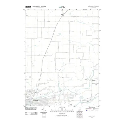
 2019 Logansport2019 Print · USGSCovers Logansport, including Danes, Verona, and other nearby areas
 - 2019 Map of Anoka, 2019 Print
 2019 Anoka2019 Print · USGSCovers Logansport, including Deacon, Walton, and other nearby areas
Showing maps 1-25 of 30
Top cities near Logansport
- Kokomo historical maps
- Peru historical maps
- Deer Creek historical maps
- Flora historical maps
- Galveston historical maps
- Royal Center historical maps
See more
Frequently asked questions
- What are the different types of historical maps available for Logansport?
- What is the oldest map of Logansport?
- Where can I purchase historical maps of Logansport for my home or office?
- Where can I download high-res historical maps of Logansport?
- Are there historical topographic maps available for Logansport?
- Is there historical aerial imagery available for Logansport?
- Where are historical maps of Logansport sourced from?