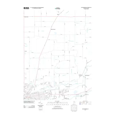
2013 Map of Logansport
USGS Topo · Published 2013About this map
The Wabash River and Eel River converge in this part of Cass County, defining the local geography through a network of drainage ditches and creeks that support the surrounding agricultural lands. The settlement pattern here includes the distinct locales of Adamsboro and Old Adamsboro, alongside rural crossroads like Metea, Mount Pleasant, and Leases Corner. Along the waterways, notable crossings such as the Broad Ripple Bridge and Cass Station Bridge facilitate travel across the river valleys, while Rock Island sits as a prominent feature within the Wabash. The landscape is heavily marked by engineered water management, from the Dalzall Ditch in the north to the Shackelford Ditch and Howard Ditch further south, illustrating the long-term efforts to manage the wetlands and river plains for settlement and farming in the early 21st century.
Find a feature on this map
82 named features on this map. Tap any name to fly to it.
Don’t see what you’re looking for? This feature index may not catch every label — zoom into the map to look around manually.
Map Details
Editions of this 2013 Logansport Map
This is the sole edition of this map. No revisions or reprints were ever made.
Other maps of this area

1951 · Onward
USGS Topo · 1:24,000

1951 · Twelve Mile
USGS Topo · 1:24,000

1953 · Danville
USGS Topo · 1:250,000

1955 · Danville
USGS Topo · 1:250,000

1955 · Logansport
USGS Topo · 1:24,000

1955 · Anoka
USGS Topo · 1:24,000

1956 · Danville
USGS Topo · 1:250,000

1960 · Lucerne
USGS Topo · 1:24,000

1960 · Fulton
USGS Topo · 1:24,000

1960 · Macy
USGS Topo · 1:24,000