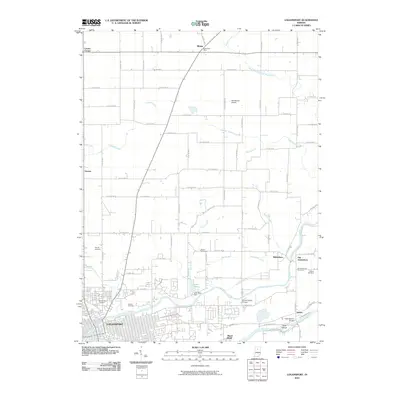
2010 Map of Logansport
USGS Topo · Published 2010About this map
The Wabash River and Eel River converge at Logansport, defining the industrial and social layout of this northern Indiana landscape. This 2010 survey details the transition from the dense urban grid of the city to the surrounding rural townships, where smaller settlements like Adamsboro and Old Adamsboro persist near the riverbanks. The mapping shows a significant concentration of genealogical sites, including Mount Hope Cemetery and Mount Calvary Cemetery, alongside rural markers such as the Metea Post Office.
Find a feature on this map
63 named features on this map. Tap any name to fly to it.
Don’t see what you’re looking for? This feature index may not catch every label — zoom into the map to look around manually.
Map Details
Editions of this 2010 Logansport Map
This is the sole edition of this map. No revisions or reprints were ever made.
Other maps of this area

1951 · Onward
USGS Topo · 1:24,000

1951 · Twelve Mile
USGS Topo · 1:24,000

1953 · Danville
USGS Topo · 1:250,000

1955 · Danville
USGS Topo · 1:250,000

1955 · Logansport
USGS Topo · 1:24,000

1955 · Anoka
USGS Topo · 1:24,000

1956 · Danville
USGS Topo · 1:250,000

1960 · Lucerne
USGS Topo · 1:24,000

1960 · Fulton
USGS Topo · 1:24,000

1960 · Macy
USGS Topo · 1:24,000