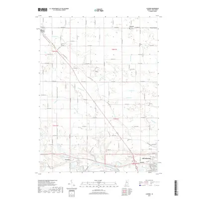
2019 Map of Lucerne
USGS Topo · Published 2019About this map
The Wabash River flows across the southern portion of this landscape, anchoring a region defined by extensive drainage systems and scattered agricultural settlements. In the northern reaches, small communities like Lucerne and Royal Center serve as local hubs, connected by a network of county roads and the rail corridor identified as the Pulaski/Cass Co line S to Kenneth. The map reveals a highly managed hydrologic environment, with numerous man-made channels such as McNitt Ditch, Rollhausen Ditch, and Forgey Ditch that redirect water into Crooked Cr. For genealogists, the map identifies several distinct burial grounds, including Saint Elizabeth Cem and Grant Cem, which often represent the earliest established families of the area. The southern edge approaches the outskirts of Logansport, transitioning from rural sections like Dunkirk and Kenneth toward more dense urban street grids.
Find a feature on this map
63 named features on this map. Tap any name to fly to it.
Don’t see what you’re looking for? This feature index may not catch every label — zoom into the map to look around manually.
Map Details
Editions of this 2019 Lucerne Map
This is the sole edition of this map. No revisions or reprints were ever made.
Other maps of this area

1953 · Danville
USGS Topo · 1:250,000

1955 · Danville
USGS Topo · 1:250,000

1955 · Logansport
USGS Topo · 1:24,000

1955 · Anoka
USGS Topo · 1:24,000

1956 · Danville
USGS Topo · 1:250,000

1960 · Lucerne
USGS Topo · 1:24,000

1960 · Fulton
USGS Topo · 1:24,000

1960 · Grass Creek
USGS Topo · 1:24,000

1962 · Burrows
USGS Topo · 1:24,000

1962 · Star City
USGS Topo · 1:24,000