
1962 Map of Burrows
USGS Topo · Published 1963About this map
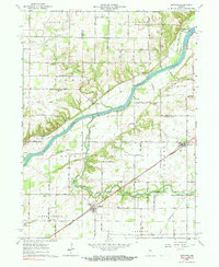
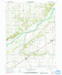
The Wabash River carves a deep valley through Carroll and Cass Counties, defining the landscape and settlement patterns of the early 1960s. Along the river’s northern bank, the historic Towpath follows the waterway through Lockport, a key point of interest for those tracing old transportation routes. The area is anchored by the rural hubs of Burrows and Rockfield, where the Wabash Railroad and Pennsylvania Railroad provided vital industrial links to the surrounding agricultural plains. This survey provides a look at the local geography before major modern changes, noting small community landmarks like the Township Sch and Pleasant Hill Ch. For genealogists, the map is particularly valuable for its documentation of numerous small burial grounds, including the IOOF Cem and the uniquely named Seceder Cem.
Find a feature on this map
56 named features on this map. Tap any name to fly to it.
Don’t see what you’re looking for? This feature index may not catch every label — zoom into the map to look around manually.
Map Details
Editions of this 1962 Burrows Map
3 editions found
Other maps of this area

1953 · Danville
USGS Topo · 1:250,000

1955 · Danville
USGS Topo · 1:250,000

1956 · Danville
USGS Topo · 1:250,000

1960 · Lucerne
USGS Topo · 1:24,000

1962 · Deer Creek
USGS Topo · 1:24,000

1962 · Flora
USGS Topo · 1:24,000

1962 · Delphi
USGS Topo · 1:24,000

1962 · Burnettsville
USGS Topo · 1:24,000
1962 · Clymers
USGS Topo · 1:24,000
1962 · Yeoman
USGS Topo · 1:24,000