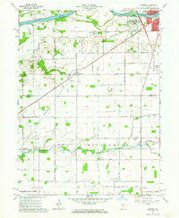
1962 Map of Clymers
USGS Topo · Published 1964About this map
The Wabash River and its accompanying Wabash and Erie Canal carve through the northern landscape of this region, shaping the development of the city of Logansport. This 1960s survey captures the intersection of heavy industry and institutional infrastructure, featuring the sprawling Longcliff Hospital complex and the Logansport Municipal Airport. Transport networks are prominently detailed, with the Wabash and Pennsylvania railroad lines intersecting near the small community of Clymers. Further south, the terrain transitions into a grid of agricultural land and drainage systems like the Slusser Ditch and Martin DITCH, punctuated by rural landmarks such as Mt Pisgah Ch and Rock Creek Cem. The map provides a look at the historical boundaries between Jefferson and Clinton townships during a period of mid-century growth.
Find a feature on this map
46 named features on this map. Tap any name to fly to it.
Don’t see what you’re looking for? This feature index may not catch every label — zoom into the map to look around manually.
Map Details
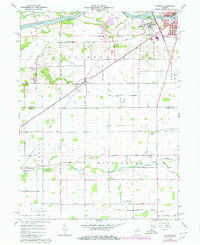
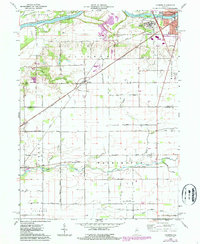
Editions of this 1962 Clymers Map
Other maps of this area

1953 · Danville
USGS Topo · 1:250,000

1955 · Danville
USGS Topo · 1:250,000

1955 · Logansport
USGS Topo · 1:24,000

1955 · Anoka
USGS Topo · 1:24,000

1956 · Danville
USGS Topo · 1:250,000

1959 · Young America
USGS Topo · 1:24,000

1960 · Lucerne
USGS Topo · 1:24,000

1962 · Deer Creek
USGS Topo · 1:24,000

1962 · Flora
USGS Topo · 1:24,000

1962 · Burrows
USGS Topo · 1:24,000