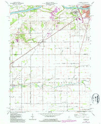
1962 Map of Clymers
USGS Topo · Published 1987About this map
Clymers sits at the junction of the Norfolk And Western and Conrail rail lines, serving as a focal point for this landscape in the early 1960s. The map illustrates a transition from industrial activity to social infrastructure, marked by several Strip Mines and a Gravel Pit near Woodville Cem in the south, contrasted by the extensive grounds of Longcliff Hospital near the Wabash River. The inclusion of the Wabash And Erie Canal alignment near Grants Run provides a window into the region's earlier transportation history alongside modern developments like the Logansport Municipal Airport. Throughout the townships of Clinton and Washington, numerous family and community landmarks are preserved, including St Johns Cem, Shideler Cem, and Mt Pisgah Ch, which offer significant value for genealogical research in this portion of Cass and Carroll Counties.
Find a feature on this map
43 named features on this map. Tap any name to fly to it.
Don’t see what you’re looking for? This feature index may not catch every label — zoom into the map to look around manually.
Map Details
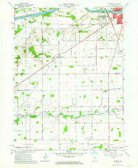
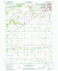
Editions of this 1962 Clymers Map
Other maps of this area

1953 · Danville
USGS Topo · 1:250,000

1955 · Danville
USGS Topo · 1:250,000

1955 · Logansport
USGS Topo · 1:24,000

1955 · Anoka
USGS Topo · 1:24,000

1956 · Danville
USGS Topo · 1:250,000

1959 · Young America
USGS Topo · 1:24,000

1960 · Lucerne
USGS Topo · 1:24,000

1962 · Deer Creek
USGS Topo · 1:24,000

1962 · Flora
USGS Topo · 1:24,000

1962 · Burrows
USGS Topo · 1:24,000