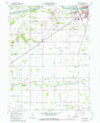
1962 Map of Clymers
USGS Topo · Published 1980About this map
The Wabash River and the historic Wabash and Erie Canal define the northern border of this landscape, just southwest of Logansport. This survey shows a transition between industrial activity and rural community life in the early 1960s. In the north, Strip Mines and a powerplant mark the working land, while the massive grounds of the Longcliff Hospital overlook the river valley near the Conrail line.
Find a feature on this map
48 named features on this map. Tap any name to fly to it.
Don’t see what you’re looking for? This feature index may not catch every label — zoom into the map to look around manually.
Map Details
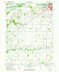
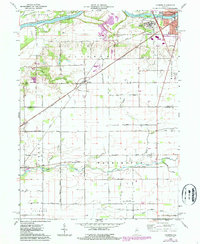
Editions of this 1962 Clymers Map
Other maps of this area

1953 · Danville
USGS Topo · 1:250,000

1955 · Danville
USGS Topo · 1:250,000

1955 · Logansport
USGS Topo · 1:24,000

1955 · Anoka
USGS Topo · 1:24,000

1956 · Danville
USGS Topo · 1:250,000

1959 · Young America
USGS Topo · 1:24,000

1960 · Lucerne
USGS Topo · 1:24,000

1962 · Deer Creek
USGS Topo · 1:24,000

1962 · Flora
USGS Topo · 1:24,000

1962 · Burrows
USGS Topo · 1:24,000