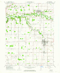
1962 Map of Flora
USGS Topo · Published 1963About this map
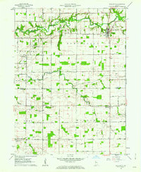
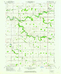
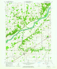
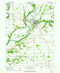
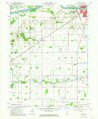
Flora and Bringhurst anchor the southern portion of this mid-century survey, situated along the north-south corridor of the Pennsylvania Railroad. The landscape is a mix of agricultural town centers and scattered religious landmarks, including the Old German Ch and several family-named burial grounds like Musselman Cem and Moss Cem. Further north, Camden sits near the banks of Deer Creek, which winds through the center of the quadrangle and is fed by smaller tributaries such as Paint Creek and Robinson Branch.
Find a feature on this map
35 named features on this map. Tap any name to fly to it.
Don’t see what you’re looking for? This feature index may not catch every label — zoom into the map to look around manually.
Map Details
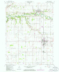
Editions of this 1962 Flora Map
2 editions found
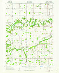
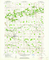
Other maps of this area

1953 · Danville
USGS Topo · 1:250,000

1955 · Danville
USGS Topo · 1:250,000

1956 · Danville
USGS Topo · 1:250,000
1961 · Pyrmont
USGS Topo · 1:24,000
1961 · Rossville
USGS Topo · 1:24,000
1961 · Burlington
USGS Topo · 1:24,000
1962 · Deer Creek
USGS Topo · 1:24,000
1962 · Burrows
USGS Topo · 1:24,000
1962 · Delphi
USGS Topo · 1:24,000
1962 · Clymers
USGS Topo · 1:24,000