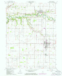
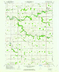
1962 Map of Flora
USGS Topo · Published 1986About this map
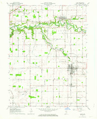
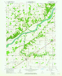
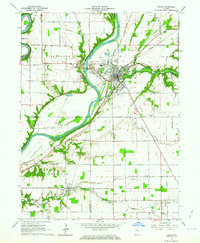
The town of Flora serves as the central hub in this Carroll County landscape, situated at the junction of Conrail and Bachelor Run. This 1962 survey, updated with photo-revisions in the early 1980s, reveals a tightly knit agricultural and rail corridor. To the north, Camden sits along the winding course of Deer Creek, while the smaller settlement of Bringhurst lies just south of the main town. The map is a vital resource for genealogists, marking numerous family and community burial sites such as Nettle Cem, Wise Cem, and the Maple Lawn Cem east of Flora.
Find a feature on this map
41 named features on this map. Tap any name to fly to it.
Don’t see what you’re looking for? This feature index may not catch every label — zoom into the map to look around manually.
Map Details
Editions of this 1962 Flora Map
2 editions found
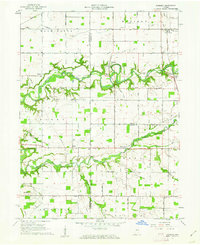
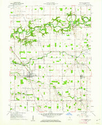
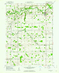
Other maps of this area

1953 · Danville
USGS Topo · 1:250,000

1955 · Danville
USGS Topo · 1:250,000

1956 · Danville
USGS Topo · 1:250,000
1961 · Pyrmont
USGS Topo · 1:24,000
1961 · Rossville
USGS Topo · 1:24,000
1961 · Burlington
USGS Topo · 1:24,000
1962 · Deer Creek
USGS Topo · 1:24,000
1962 · Flora
USGS Topo · 1:24,000
1962 · Burrows
USGS Topo · 1:24,000
1962 · Delphi
USGS Topo · 1:24,000