Old Maps of Wakarusa, Indiana for Academic Research
Study the evolution of Wakarusa with 18 high-resolution historic maps. Whether you're teaching, researching, or modeling changes in land use, these maps provide essential visual documentation of urban, environmental, and geographic change.
- Analyze long-term change: Track patterns in development, transportation, and natural features.
- Ideal for environmental or urban studies: Support academic projects with primary historical map data.
- Use in the classroom or lab: Educators and researchers rely on these maps to bring historical context to life.
These maps are a powerful tool for teaching, research, and visualizing how Wakarusa has changed over the decades.
Wakarusa, IN maps
(18)- 1953 Map of Fort Wayne, 1963 Print
 1953 Fort Wayne1963 Print · USGSNortheast Indiana and its neighboring borderlands in Michigan and Ohio appear here during a peak era of rail and road expansion. Researchers can trace the massive rail networks of the Nickel Plate Road and Wabash or locate lakeside landmarks like Lake Wawasee and Clear Lake.4 unique versions available
 - 1953 Map of Chicago, 1964 Print
 1953 Chicago1964 Print · USGSThe southern Lake Michigan shoreline was rapidly modernizing in the mid-fifties, balancing heavy industry with its famous academic centers. Researchers can trace the footprints of Notre Dame University or locate vanished sites like the Kingsbury Ordnance Plant and Meigs Field.5 unique versions available
 - 1956 Map of Fort Wayne
 1956 Fort Wayne1956 Print · USGSThe tri-state borderlands of Indiana, Michigan, and Ohio are captured here in the mid-fifties, centered on the growing industrial hub of Fort Wayne. Researchers can trace the heavy rail lines of the New York Central and Pennsylvania alongside prominent water features like Lake Wawasee and the Maumee River.2 unique versions available
 - 1957 Map of Chicago
 1957 Chicago1957 Print · USGSThe industrial heartland and southern Great Lakes shoreline are captured here during the peak of mid-century growth. Researchers can trace the massive Gary Steel Works, the grounds of the University of Notre Dame, and the early paths of the Tri-State Tollway.
 - 1960 Map of Foraker, 1961 Print
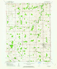
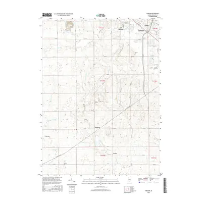
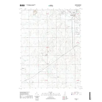
 1960 Foraker1961 Print · USGSElkhart County farmland is depicted here in the early sixties, showing a landscape defined by organized drainage and rural community life. Researchers can locate numerous family-named landmarks and old country churches like Wisler Ch, Wenger Cem, and the settlement of Foraker.4 unique versions available
 - 1961 Map of Wakarusa, 1963 Print
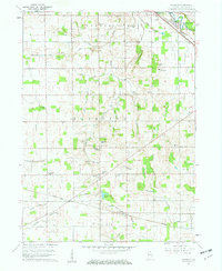
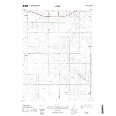
 1961 Wakarusa1963 Print · USGSIn the early 1960s, the rural borderlands of Elkhart and St. Joseph counties remained a landscape of family-named drainage ditches and country congregations. Genealogists and local researchers can trace the vicinity of Wakarusa to find Holdeman Ch, Resthaven Cem, and Township High Sch.3 unique versions available
 - 1983 Map of South Bend, 1984 Print
 1983 South Bend1984 Print · USGSThe Indiana-Michigan borderlands come alive in this early 1980s overview of the Michiana region's industrial and academic hubs. Researchers can trace the rail networks of Conrail and the Grand Trunk Western alongside landmarks like the University of Notre Dame and Indiana Dunes State Park.2 unique versions available
 - 1985 Map of Elkhart
 1985 Elkhart1985 Print · USGSThe Indiana-Michigan borderlands come into focus in the mid-1980s, showcasing the industrial rail hubs and rural agricultural townships of the St. Joseph valley. Genealogists and historians can trace the growth of Elkhart, Goshen, and Three Rivers, or locate smaller communities like Middlebury and White Pigeon.2 unique versions available
 - 2010 Map of Foraker, 2010 Print
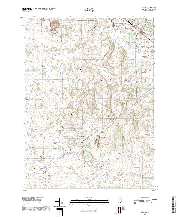
 2010 Foraker2010 Print · USGSCovers Wakarusa, including Goshen, Dunlap, and other nearby areas
 - 2010 Map of Wakarusa, 2010 Print
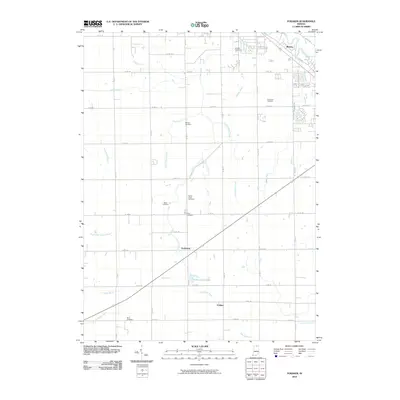
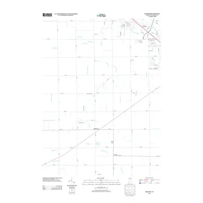
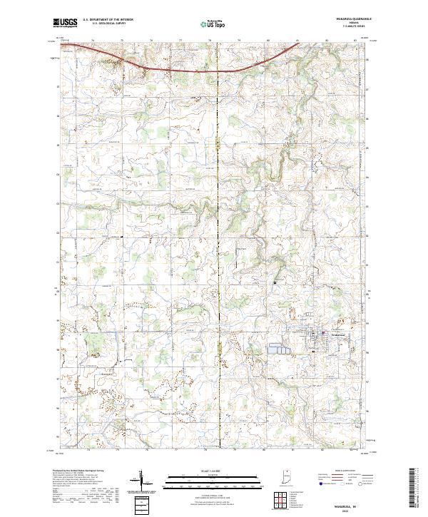
 2010 Wakarusa2010 Print · USGSCovers Wakarusa, including Saint Joseph County, Elkhart County, and other nearby areas
 - 2013 Map of Foraker, 2013 Print
 2013 Foraker2013 Print · USGSCovers Wakarusa, including Goshen, Dunlap, and other nearby areas
 - 2013 Map of Wakarusa, 2013 Print
 2013 Wakarusa2013 Print · USGSCovers Wakarusa, including Saint Joseph County, Elkhart County, and other nearby areas
 - 2016 Map of Foraker, 2016 Print
 2016 Foraker2016 Print · USGSCovers Wakarusa, including Goshen, Dunlap, and other nearby areas
 - 2016 Map of Wakarusa, 2016 Print
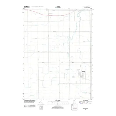
 2016 Wakarusa2016 Print · USGSCovers Wakarusa, including Saint Joseph County, Elkhart County, and other nearby areas
 - 2019 Map of Wakarusa, 2019 Print
 2019 Wakarusa2019 Print · USGSCovers Wakarusa, including Saint Joseph County, Elkhart County, and other nearby areas
 - 2019 Map of Foraker, 2019 Print
 2019 Foraker2019 Print · USGSCovers Wakarusa, including Goshen, Dunlap, and other nearby areas
 - 2022 Map of Wakarusa, 2022 Print
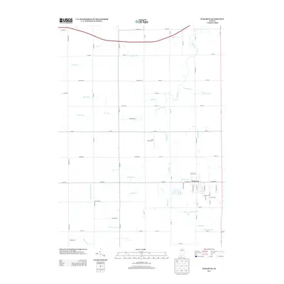
 2022 Wakarusa2022 Print · USGSWakarusa and the rural border between Elkhart and St. Joseph Counties are shown here during the early 2020s. Genealogists can locate family landmarks like Pletcher Cem and Shutts Cem or trace the extensive drainage network of Baugo Creek.
 - 2022 Map of Foraker, 2022 Print
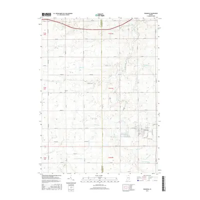
 2022 Foraker2022 Print · USGSElkhart County is captured here in the early 2020s, showing the rural settlements and sophisticated drainage networks of Northern Indiana. Researchers can trace numerous family-named burial sites like Yellow Creek Brick Cemetery, Stutsman Cem, and Bull Cem.
End of results
Showing maps 1-18 of 18
Top cities near Wakarusa
- South Bend historical maps
- Elkhart historical maps
- Mishawaka historical maps
- Goshen historical maps
- Granger historical maps
- Nappanee historical maps
See more
Frequently asked questions
- What are the different types of historical maps available for Wakarusa?
- What is the oldest map of Wakarusa?
- Where can I purchase historical maps of Wakarusa for my home or office?
- Where can I download high-res historical maps of Wakarusa?
- Are there historical topographic maps available for Wakarusa?
- Is there historical aerial imagery available for Wakarusa?
- Where are historical maps of Wakarusa sourced from?