2000s (21st Century) Maps of Gibson County, Indiana
Explore 98 historic maps of Gibson County from the 2000s (21st Century). These maps offer a rare glimpse into what life looked like during the 2000s — showing old roads, neighborhoods, homes, and landmarks that have changed or disappeared over time.
Whether you're researching your family's past, planning a metal detecting trip, or studying how Gibson County's landscape evolved across the 2000s, these high-resolution maps are a powerful tool for exploring the history of this region.
- Focus on a specific era: All maps on this page are from the 2000s, giving you a focused view of this time period.
- See what’s changed: Compare century-old streets, trails, and buildings to today's modern landscape using overlays and satellite layers.
- Research with precision: Use these maps for genealogy, historical research, land use analysis, or educational projects.
- View, download, or print: Maps are fully viewable online in high resolution, and can be downloaded or printed for your own records.
Start exploring Gibson County's history through authentic maps from the 2000s. This is your window into the past.
Gibson County, IN maps
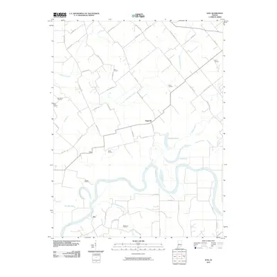
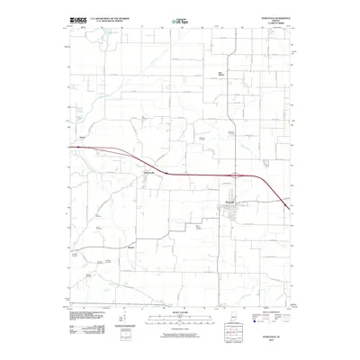
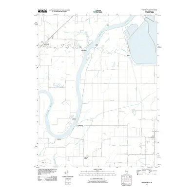
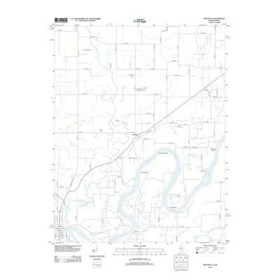
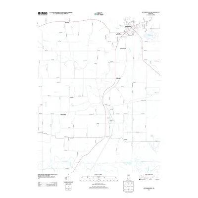
(98)- 2010 Map of Owensville, 2010 Print
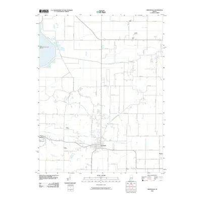 2010 Owensville2010 Print · USGSCovers Gibson County, including Johnson, Owensville, and other nearby areas
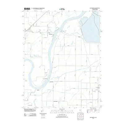
 - 2010 Map of Lynnville, 2010 Print
 2010 Lynnville2010 Print · USGSCovers Gibson County, including Lynnville, Graham Valley, and other nearby areas
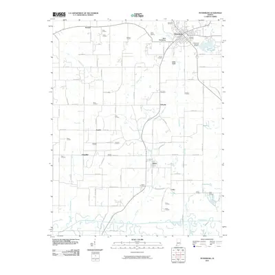
 - 2010 Map of Princeton, 2010 Print
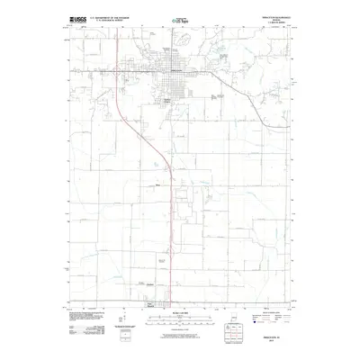 2010 Princeton2010 Print · USGSCovers Gibson County, including Princeton, Fort Branch, and other nearby areas
 - 2010 Map of Oakland City, 2010 Print
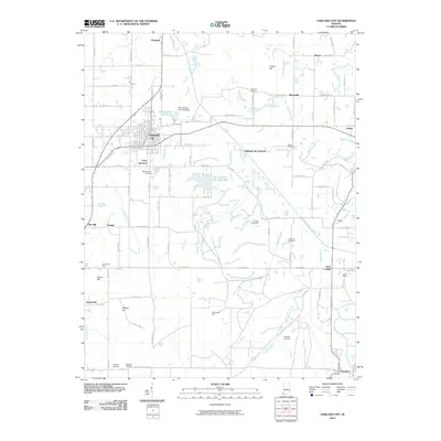 2010 Oakland City2010 Print · USGSCovers Gibson County, including Oakland City, Somerville, and other nearby areas
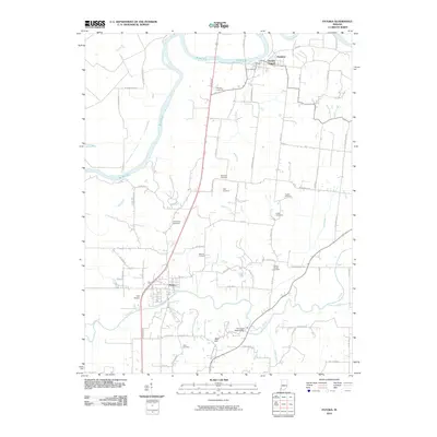
 - 2010 Map of Iona, 2010 Print
 2010 Iona2010 Print · USGSCovers Gibson County, including Iona, Ridgleville, and other nearby areas
 - 2010 Map of Francisco, 2010 Print
 2010 Francisco2010 Print · USGSCovers Gibson County, including Francisco, Somerville, and other nearby areas
 - 2010 Map of Elberfeld, 2010 Print
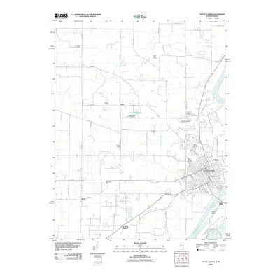
 2010 Elberfeld2010 Print · USGSCovers Gibson County, including Elberfeld, Mackey, and other nearby areas
 - 2010 Map of Petersburg, 2010 Print
 2010 Petersburg2010 Print · USGSCovers Gibson County, including Petersburg, Littles, and other nearby areas
 - 2010 Map of Poseyville, 2010 Print
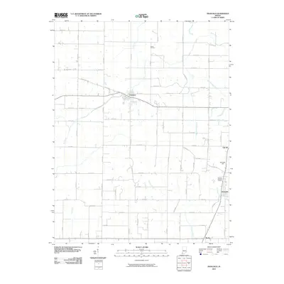
 2010 Poseyville2010 Print · USGSCovers Gibson County, including Poseyville, Barrett, and other nearby areas
 - 2010 Map of Haubstadt, 2010 Print
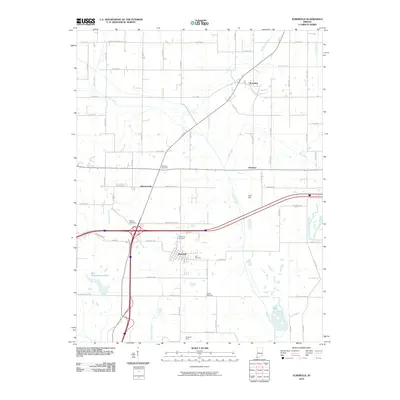
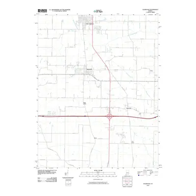 2010 Haubstadt2010 Print · USGSCovers Gibson County, including Fort Branch, Haubstadt, and other nearby areas
 - 2010 Map of Patoka, 2010 Print
 2010 Patoka2010 Print · USGSCovers Gibson County, including Patoka, Hazleton, and other nearby areas
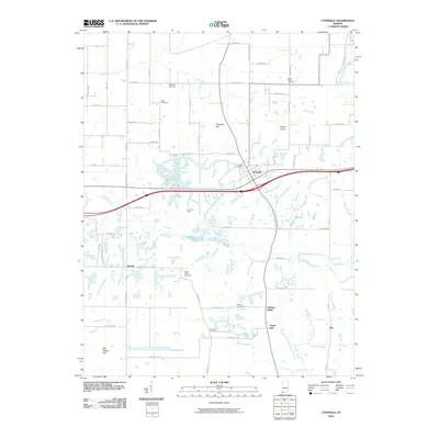
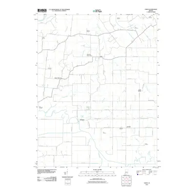
 - 2010 Map of Cynthiana, 2010 Print
 2010 Cynthiana2010 Print · USGSCovers Gibson County, including Cynthiana, Mounts, and other nearby areas
 - 2010 Map of Keensburg, 2010 Print
 2010 Keensburg2010 Print · USGSCovers Gibson County, including Keensburg, Rochester, and other nearby areas
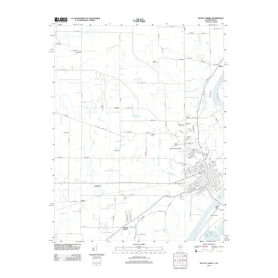
 - 2010 Map of Mount Carmel, 2010 Print
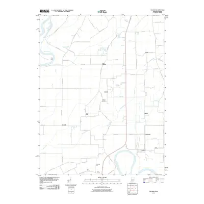
 2010 Mount Carmel2010 Print · USGSCovers Gibson County, including Mount Carmel, White River, and other nearby areas
 - 2010 Map of Union, 2010 Print
 2010 Union2010 Print · USGSCovers Gibson County, including Union, Wheeling, and other nearby areas
 - 2010 Map of Grayville, 2010 Print
 2010 Grayville2010 Print · USGSCovers Gibson County, including Grayville, Browns, and other nearby areas
 - 2010 Map of Decker, 2010 Print
 2010 Decker2010 Print · USGSCovers Gibson County, including Decker, Cantaloupe, and other nearby areas
 - 2010 Map of East Mount Carmel, 2010 Print
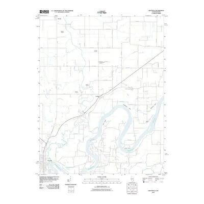
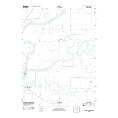 2010 East Mount Carmel2010 Print · USGSCovers Gibson County, including Mount Carmel, East Mount Carmel, and other nearby areas
 - 2010 Map of New Harmony, 2010 Print
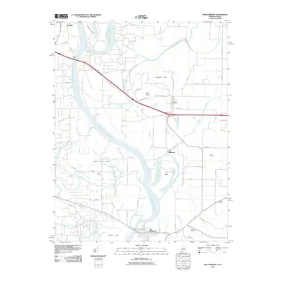 2010 New Harmony2010 Print · USGSCovers Gibson County, including Grayville, New Harmony, and other nearby areas
 - 2012 Map of Mount Carmel, 2012 Print
 2012 Mount Carmel2012 Print · USGSCovers Gibson County, including Mount Carmel, White River, and other nearby areas
 - 2012 Map of Grayville, 2012 Print
 2012 Grayville2012 Print · USGSCovers Gibson County, including Grayville, Browns, and other nearby areas
 - 2012 Map of Keensburg, 2012 Print
 2012 Keensburg2012 Print · USGSCovers Gibson County, including Keensburg, Rochester, and other nearby areas
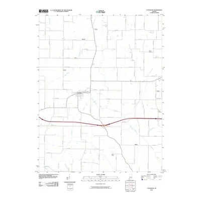
 - 2013 Map of Owensville, 2013 Print
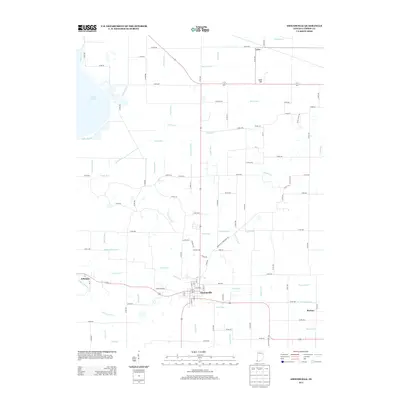 2013 Owensville2013 Print · USGSCovers Gibson County, including Johnson, Owensville, and other nearby areas
 - 2013 Map of Cynthiana, 2013 Print
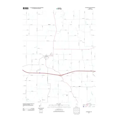 2013 Cynthiana2013 Print · USGSCovers Gibson County, including Cynthiana, Mounts, and other nearby areas
 - 2013 Map of Petersburg, 2013 Print
 2013 Petersburg2013 Print · USGSCovers Gibson County, including Petersburg, Littles, and other nearby areas
Showing maps 1-25 of 98
Top cities of Gibson County
- Princeton historical maps
- Johnson historical maps
- Oakland City historical maps
- Fort Branch historical maps
- White River historical maps
- Haubstadt historical maps
See more
Frequently asked questions
- What are the different types of historical maps available for Gibson County?
- What is the oldest map of Gibson County?
- Where can I purchase historical maps of Gibson County for my home or office?
- Where can I download high-res historical maps of Gibson County?
- Are there historical topographic maps available for Gibson County?
- Is there historical aerial imagery available for Gibson County?
- Where are historical maps of Gibson County sourced from?