Old Maps of Gibson County, Indiana for Genealogy
Trace your family roots with 139 historic maps of Gibson County. These high-res maps reveal old neighborhoods, homesites, landmarks, and streets — helping you uncover where your ancestors lived and how the area evolved over time.
- Explore historic neighborhoods: Identify where your relatives may have lived in the 1800s or 1900s.
- Compare maps over time: Trace the changes in streets, buildings, and landmarks for multi-generational research.
- Perfect for genealogy & ancestry research: Used by family historians and researchers to map out lineage and migration.
These maps are an incredible resource for exploring your personal connection to Gibson County's past.
Gibson County, IN maps
(139)- 1901 Map of Princeton, 1954 Print
 1901 Princeton1954 Print · USGSGIBSON COUNTY at the turn of the century shows a landscape transitioning from river-and-canal transit to a bustling railroad hub. Trace early settlements and infrastructure like the Mt Carmel Ferry, the Wabash and Erie Canal (Abandoned), and the historic community of Lyles.
 - 1901 Map of Haubstadt, 1955 Print
 1901 Haubstadt1955 Print · USGSSouthwestern Indiana thrived as a rail-centric farming region at the turn of the century. Genealogists and historians can trace old property lines and rural crossroads like Parker's Settlement, St. Wendells, and the thriving rail hub at Haubstadt.
 - 1902 Map of Ditney
 1902 Ditney1902 Print · USGSSouthern Indiana at the start of the century was a landscape of expanding railroads and rural hamlets. Family historians can trace ancestral roots through dozens of small settlements like Coats Springs, Dongola, and Boonville along the Southern RR.3 unique versions available
 - 1902 Map of Boonville
 1902 Boonville1902 Print · USGSWarrick and Gibson Counties at the opening of the twentieth century reveal a landscape of evolving transport and established rural life. Trace the path of the Wabash and Erie Canal or locate family roots in Boonville, Millersburg, and Lynnville.4 unique versions available
 - 1903 Map of Haubstadt
 1903 Haubstadt1903 Print · USGSSouthern Indiana at the start of the century shows a landscape of busy rail junctions and tight-knit crossroads. Genealogists can trace family footprints across Parker's Settlement, St. Wendells, and McCutchanville as they appeared before modern road expansion.2 unique versions available
 - 1903 Map of New Harmony
 1903 New Harmony1903 Print · USGSPosey County at the opening of the twentieth century was a landscape of thriving river towns and bustling rail junctions. Genealogists and historians can trace the early footprints of New Harmony and Poseyville, or locate vanished locales like Rapture and Solitude.3 unique versions available
 - 1903 Map of Petersburg
 1903 Petersburg1903 Print · USGSSouthwestern Indiana at the turn of the century reveals a landscape shaped by river commerce and the early coal industry. Genealogists can trace family roots in Petersburg or Oakland City, and locate the Erie Canal and Massey Mine.2 unique versions available
 - 1903 Map of Princeton
 1903 Princeton1903 Print · USGSIndiana's southwestern river country is shown at the height of its railroad era, centered on the junction at Princeton. Genealogists and historians can trace old property lines near the County Farm or locate vanished sites along the Wabash and Erie Canal and the settlement of Lyles.6 unique versions available
 - 1903 Map of Patoka
 1903 Patoka1903 Print · USGSThe lower Wabash Valley at the start of the twentieth century was a vital crossroads of river trade and rail expansion. Genealogists can trace family roots through settlements like New Harmony and Parker's Settlement or locate the County Farm and Grand Rapids.2 unique versions available
 - 1904 Map of Mount Carmel
 1904 Mount Carmel1904 Print · USGSMount Carmel and the Wabash River valley are captured here at the height of the steam era. Genealogists and historians can trace defunct rail stops and riverside settlements like Schrodts Sta., Jimtown, and Rochester.3 unique versions available
 - 1915 Map of Vincennes
 1915 Vincennes1915 Print · USGSThe Wabash River valley comes to life in this early twentieth-century survey of the Illinois-Indiana border. Genealogists can trace family roots through numerous rural landmarks like St Francisville, the Sand Barrens School, and Adams Corners.5 unique versions available
 - 1938 Map of New Harmony, 1958 Print
 1938 New Harmony1958 Print · USGSIndiana's southwestern tip along the Wabash River is captured here during the late thirties. Genealogists and local historians can trace family land near the Mumford Hills or locate historic rail stops in Poseyville, Stewartsville, and Griffin.
 - 1944 Map of Iona
 1944 Iona1944 Print · USGSKnox and Gibson counties meet along the high-banked curves of the White River in the early 1940s. Researchers can trace rural lineages through numerous local sites including Slow Cem, West Salem Cem, and the settlement at Iona.2 unique versions available
 - 1944 Map of Vincennes, 1958 Print
 1944 Vincennes1958 Print · USGSThe Wabash River valley during the mid-1940s reveals a landscape of river-town commerce and rural school districts. Genealogists can trace family roots through numerous sites like St Thomas church, the Bunker Hill School, and the small settlement at Billett.
 - 1956 Map of Vincennes, 1967 Print
 1956 Vincennes1967 Print · USGSSouthern Indiana and the Illinois borderlands are captured here in the mid-fifties, showing the region's dense network of river towns and rail lines. Researchers can trace historic river crossings along the Wabash River or locate landmarks like Wyandotte Cave and Lincoln State Park.4 unique versions available
 - 1957 Map of Vincennes
 1957 Vincennes1957 Print · USGSSouthwest Indiana and the Illinois borderlands come alive in the late 1950s, a period of heavy rail traffic and expanding state forests. Genealogists and historians can trace the riverfronts and rail lines of Vincennes, New Harmony, and the vast Crane Naval Ammunition Depot.
 - 1958 Map of Vincennes
 1958 Vincennes1958 Print · USGSSouthern Indiana and the Illinois borderlands are captured during a mid-century period of heavy rail traffic and military activity. Researchers can trace the sprawling bounds of the Crane Naval Ammunition Depot or locate historic settlements like New Harmony and French Lick.2 unique versions available
 - 1958 Map of Iona, 1959 Print
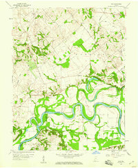 1958 Iona1959 Print · USGSSouthwestern Indiana farmland meets the serpentine White River in the late fifties, where county lines converge at the water's edge. Genealogists can locate family sites at St Peters Cem or Johnson Cem and trace the rural settlements of Iona and Giro.3 unique versions available
 - 1959 Map of Mount Carmel, 1961 Print
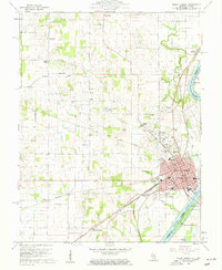 1959 Mount Carmel1961 Print · USGSMount Carmel sits at the confluence of the Wabash and White Rivers during the mid-century era, serving as a busy hub for both rail and river traffic. Genealogists and local historians can trace family roots through numerous sites like Nye Chapel, Schrodts Station, and the Sand Hill Cem.4 unique versions available
 - 1959 Map of Owensville, 1961 Print
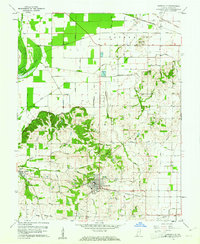 1959 Owensville1961 Print · USGSGibson County agriculture and industry meet in the late fifties as the town of Owensville anchors a network of rail and water. Genealogists and local historians can trace the Old Indian Treaty Boundary or locate rural landmarks like Lyles, Skelton Church, and the Southern rail line.3 unique versions available
 - 1959 Map of East Mount Carmel, 1961 Print
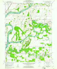 1959 East Mount Carmel1961 Print · USGSThe Illinois-Indiana borderlands meet at the confluence of the Wabash and White Rivers during the late fifties. Genealogists and historians can trace the Indian Treaty Boundary, locate Scott Chapel Cem, and see the Mount Carmel Ferry crossing.4 unique versions available
 - 1959 Map of Keensburg, 1961 Print
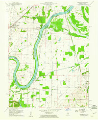 1959 Keensburg1961 Print · USGSThe Wabash River borderlands come into focus during the late fifties, showing the interplay of agriculture and the oil industry. Genealogists can locate family landmarks like Le Gier-Lovellette Cemetery and trace the paths of Rochester and Jimtown.3 unique versions available
 - 1959 Map of Poseyville, 1961 Print
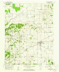 1959 Poseyville1961 Print · USGSIndiana's Posey and Gibson counties come alive in this mid-century survey of the land just east of the Wabash. Researchers can trace rural lineages through the North Posey County School and dozens of family-named burial sites like Stallings Cem and Price Cem.4 unique versions available
 - 1959 Map of New Harmony, 1961 Print
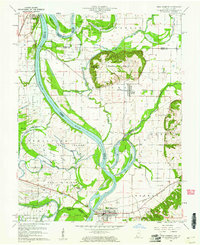 1959 New Harmony1961 Print · USGSThe Indiana-Illinois borderlands of the late fifties are defined here by the winding channels of the Wabash River and its many islands. Researchers can trace family history through sites like Mt Pleasant Cem or explore the mid-century infrastructure of Griffin and New Harmony.4 unique versions available
 - 1959 Map of Princeton, 1961 Print
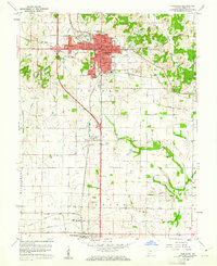 1959 Princeton1961 Print · USGSGibson County at the end of the fifties reveals a landscape shaped by rail lines and growing residential hubs like Baldwin Heights. Local researchers can trace family landmarks and vanished sites from the Oil Refinery and Drive-in Theater to old burial grounds like Walnut Hill Cem.4 unique versions available
Showing maps 1-25 of 139
Top cities of Gibson County
- Princeton historical maps
- Johnson historical maps
- Oakland City historical maps
- Fort Branch historical maps
- White River historical maps
- Haubstadt historical maps
See more
Frequently asked questions
- What are the different types of historical maps available for Gibson County?
- What is the oldest map of Gibson County?
- Where can I purchase historical maps of Gibson County for my home or office?
- Where can I download high-res historical maps of Gibson County?
- Are there historical topographic maps available for Gibson County?
- Is there historical aerial imagery available for Gibson County?
- Where are historical maps of Gibson County sourced from?