2000s (21st Century) Maps of Fishers, Indiana
Explore 25 historic maps of Fishers from the 2000s (21st Century). These maps offer a rare glimpse into what life looked like during the 2000s — showing old roads, neighborhoods, homes, and landmarks that have changed or disappeared over time.
Whether you're researching your family's past, planning a metal detecting trip, or studying how Fishers's landscape evolved across the 2000s, these high-resolution maps are a powerful tool for exploring the history of this region.
- Focus on a specific era: All maps on this page are from the 2000s, giving you a focused view of this time period.
- See what’s changed: Compare century-old streets, trails, and buildings to today's modern landscape using overlays and satellite layers.
- Research with precision: Use these maps for genealogy, historical research, land use analysis, or educational projects.
- View, download, or print: Maps are fully viewable online in high resolution, and can be downloaded or printed for your own records.
Start exploring Fishers's history through authentic maps from the 2000s. This is your window into the past.
Fishers, IN maps
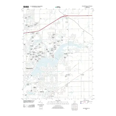
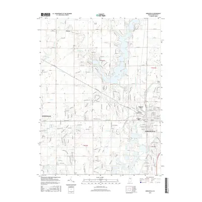
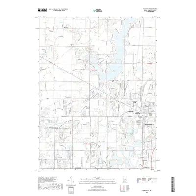
(25)- 2010 Map of Riverwood, 2010 Print
 2010 Riverwood2010 Print · USGSCovers Fishers, including Noblesville, Clarksville, and other nearby areas
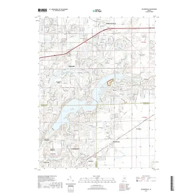
 - 2010 Map of McCordsville, 2010 Print
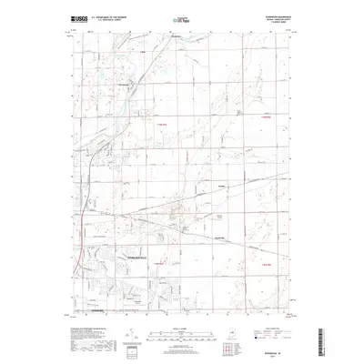
 2010 McCordsville2010 Print · USGSCovers Fishers, including Indianapolis, Noblesville, and other nearby areas
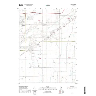
 - 2010 Map of Ingalls, 2010 Print
 2010 Ingalls2010 Print · USGSCovers Fishers, including Noblesville, Pendleton, and other nearby areas
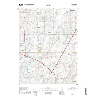
 - 2010 Map of Fishers, 2010 Print
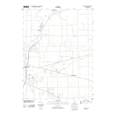
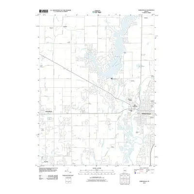
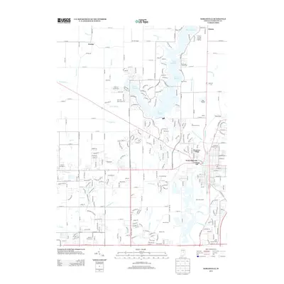
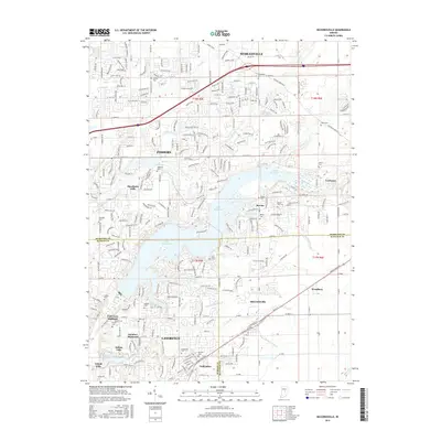
 2010 Fishers2010 Print · USGSCovers Fishers, including Indianapolis, Carmel, and other nearby areas
 - 2010 Map of Noblesville, 2010 Print
 2010 Noblesville2010 Print · USGSCovers Fishers, including Carmel, Noblesville, and other nearby areas
 - 2013 Map of Riverwood, 2013 Print
 2013 Riverwood2013 Print · USGSCovers Fishers, including Noblesville, Clarksville, and other nearby areas
 - 2013 Map of Ingalls, 2013 Print
 2013 Ingalls2013 Print · USGSCovers Fishers, including Noblesville, Pendleton, and other nearby areas
 - 2013 Map of McCordsville, 2013 Print
 2013 McCordsville2013 Print · USGSCovers Fishers, including Indianapolis, Noblesville, and other nearby areas
 - 2013 Map of Noblesville, 2013 Print
 2013 Noblesville2013 Print · USGSCovers Fishers, including Carmel, Noblesville, and other nearby areas
 - 2013 Map of Fishers, 2013 Print
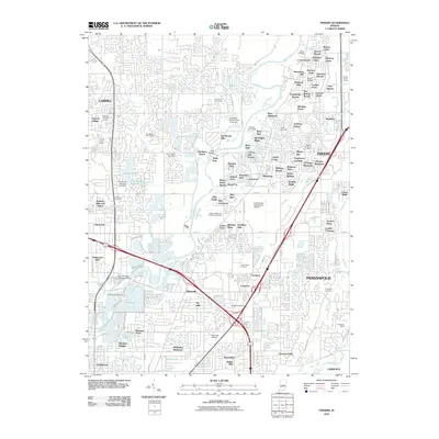
 2013 Fishers2013 Print · USGSCovers Fishers, including Indianapolis, Carmel, and other nearby areas
 - 2016 Map of Fishers, 2016 Print
 2016 Fishers2016 Print · USGSCovers Fishers, including Indianapolis, Carmel, and other nearby areas
 - 2016 Map of Ingalls, 2016 Print
 2016 Ingalls2016 Print · USGSCovers Fishers, including Noblesville, Pendleton, and other nearby areas
 - 2016 Map of McCordsville, 2016 Print
 2016 McCordsville2016 Print · USGSCovers Fishers, including Indianapolis, Noblesville, and other nearby areas
 - 2016 Map of Noblesville, 2016 Print
 2016 Noblesville2016 Print · USGSCovers Fishers, including Carmel, Noblesville, and other nearby areas
 - 2016 Map of Riverwood, 2016 Print
 2016 Riverwood2016 Print · USGSCovers Fishers, including Noblesville, Clarksville, and other nearby areas
 - 2019 Map of Riverwood, 2019 Print
 2019 Riverwood2019 Print · USGSCovers Fishers, including Noblesville, Clarksville, and other nearby areas
 - 2019 Map of Noblesville, 2019 Print
 2019 Noblesville2019 Print · USGSCovers Fishers, including Carmel, Noblesville, and other nearby areas
 - 2019 Map of McCordsville, 2019 Print
 2019 McCordsville2019 Print · USGSCovers Fishers, including Indianapolis, Noblesville, and other nearby areas
 - 2019 Map of Ingalls, 2019 Print
 2019 Ingalls2019 Print · USGSCovers Fishers, including Noblesville, Pendleton, and other nearby areas
 - 2019 Map of Fishers, 2019 Print
 2019 Fishers2019 Print · USGSCovers Fishers, including Indianapolis, Carmel, and other nearby areas
 - 2022 Map of Riverwood, 2022 Print
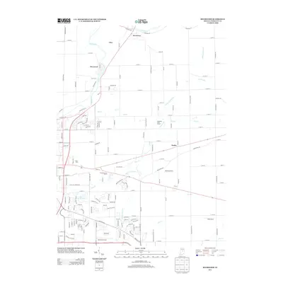
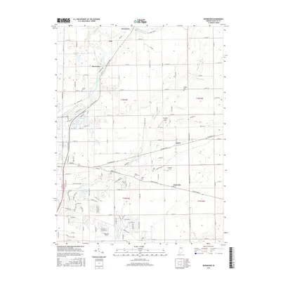
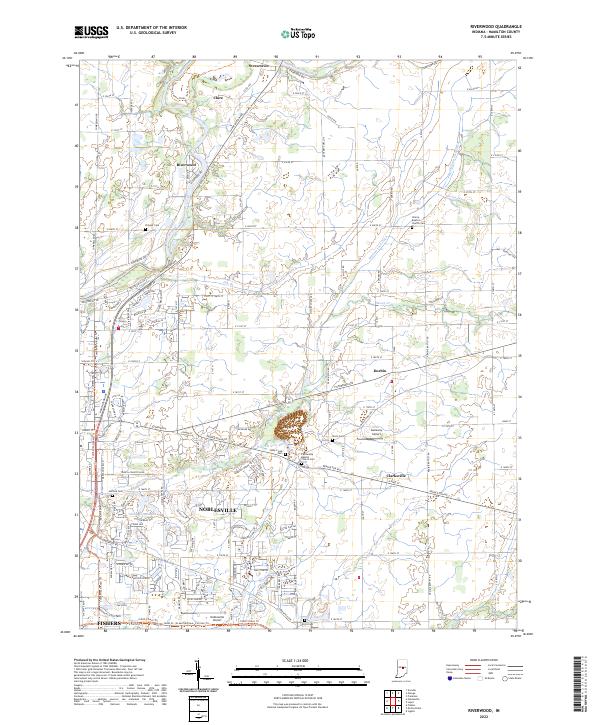 2022 Riverwood2022 Print · USGSHamilton County is captured in this 2022 survey as the rural landscapes of Durbin and Strawtown meet the expanding reach of Noblesville. Researchers can trace family history at Stony Creek Cem or locate the Galloway Airport.
 - 2022 Map of McCordsville, 2022 Print
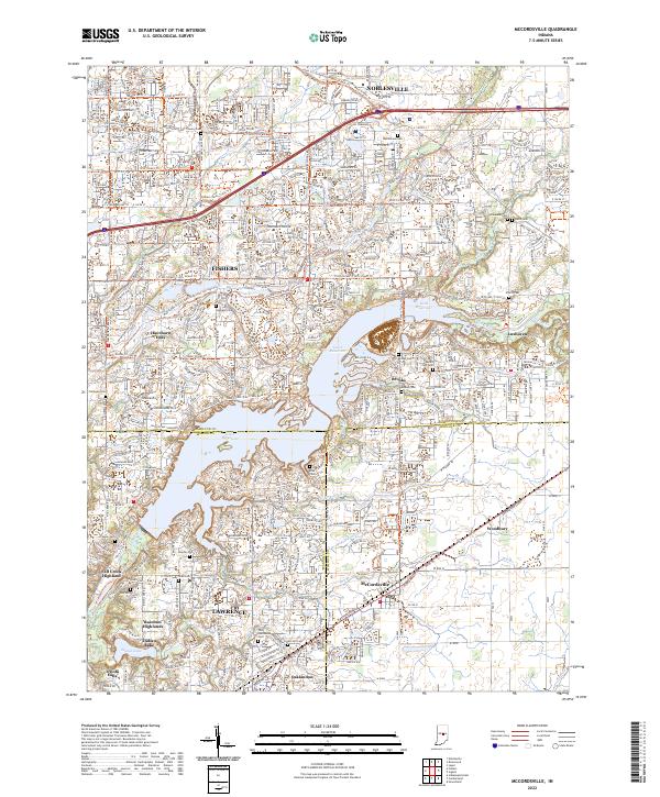 2022 McCordsville2022 Print · USGSThe suburban and lakeside developments northeast of Indianapolis are captured here in the early twenty-first century as the region expanded. Genealogists and local historians can locate numerous family burial sites like Helm Cem and Salem Cem or trace the early paths of Oaklandon and Woodbury.
 - 2022 Map of Ingalls, 2022 Print
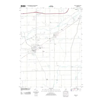
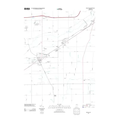
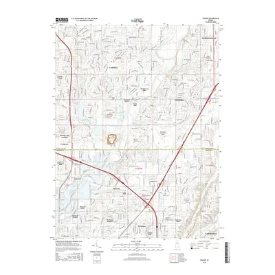
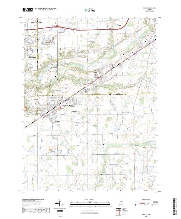 2022 Ingalls2022 Print · USGSThe Madison and Hancock county line comes alive in this contemporary survey, showing the residential growth of Ingalls and Fortville. Researchers can locate numerous family burial sites like Hiday Cem and Crosley Cem or trace the path of the McFadden Ditch.
 - 2022 Map of Noblesville, 2022 Print
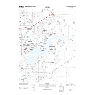
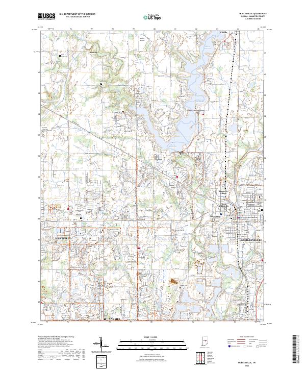 2022 Noblesville2022 Print · USGSModern Hamilton County appears here as a landscape of rapid suburban growth woven through with deep-rooted local history. Researchers can trace ancestral sites at Crownland Cem or locate community landmarks like the Hamilton County Courthouse and Ivy Tech College.
 - 2023 Map of Fishers, 2023 Print
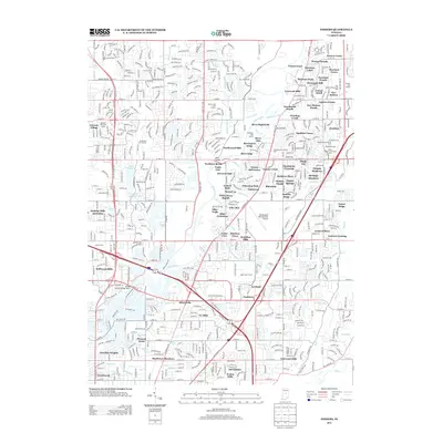
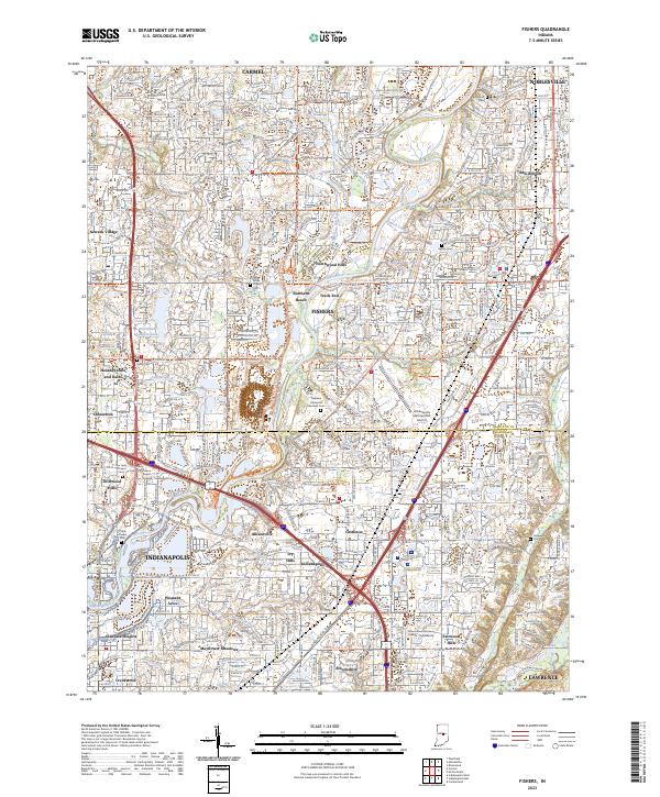 2023 Fishers2023 Print · USGSThe northern suburbs of Indianapolis are captured in this modern survey during a period of intense growth. Local researchers can trace the suburban evolution of Fishers and Carmel, identifying landmarks like Oaklawn Memorial Gardens Cem and the Indianapolis Metropolitan Airport.
End of results
Showing maps 1-25 of 25
Top cities near Fishers
- Indianapolis historical maps
- Carmel historical maps
- Noblesville historical maps
- Anderson historical maps
- Westfield historical maps
- Lawrence historical maps
See more
Top neighborhoods of Fishers
- Brooks historical maps
- Turnberry historical maps
- Downtown Fishers historical maps
- Masthead of Geist Harbours historical maps
- Masthead of Geist Harbours historical maps
- Meadow Brook Village historical maps
See more
Frequently asked questions
- What are the different types of historical maps available for Fishers?
- What is the oldest map of Fishers?
- Where can I purchase historical maps of Fishers for my home or office?
- Where can I download high-res historical maps of Fishers?
- Are there historical topographic maps available for Fishers?
- Is there historical aerial imagery available for Fishers?
- Where are historical maps of Fishers sourced from?