2010s Maps of Johnson County, Indiana
Explore 56 historic maps of Johnson County from the 2010s. These maps offer a rare glimpse into what life looked like during the 2010s — showing old roads, neighborhoods, homes, and landmarks that have changed or disappeared over time.
Whether you're researching your family's past, planning a metal detecting trip, or studying how Johnson County's landscape evolved across the 2010s, these high-resolution maps are a powerful tool for exploring the history of this region.
- Focus on a specific era: All maps on this page are from the 2010s, giving you a focused view of this time period.
- See what’s changed: Compare century-old streets, trails, and buildings to today's modern landscape using overlays and satellite layers.
- Research with precision: Use these maps for genealogy, historical research, land use analysis, or educational projects.
- View, download, or print: Maps are fully viewable online in high resolution, and can be downloaded or printed for your own records.
Start exploring Johnson County's history through authentic maps from the 2010s. This is your window into the past.
Johnson County, IN maps
(56)- 2010 Map of Trafalgar, 2010 Print
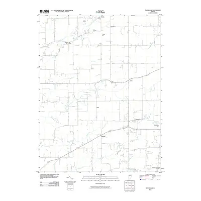 2010 Trafalgar2010 Print · USGSCentral Indiana's rural character is preserved in this study of Johnson County just after the millennium. Genealogists can trace family footprints through historic burial sites like Shiloh Cemetery and the crossroads hamlets of Providence and Samaria.
 - 2010 Map of Cope, 2010 Print
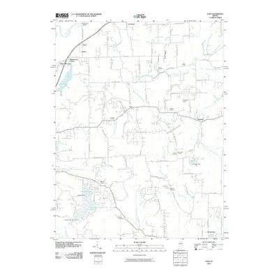 2010 Cope2010 Print · USGSMorgan County is shown at the start of the 2010s, capturing a rural landscape defined by the White River and shifting into residential lake communities. Genealogists can trace family lines through numerous burial grounds like Scroggins Cemetery and Nast Chapel Cemetery.
 - 2010 Map of Beanblossom, 2010 Print
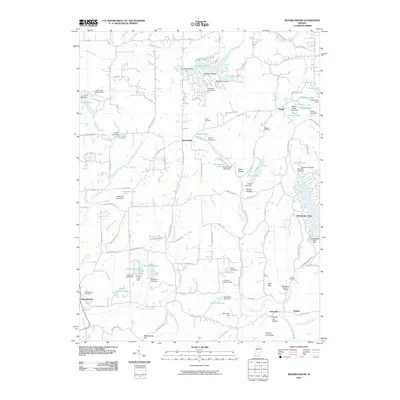 2010 Beanblossom2010 Print · USGSBrown County in the early twenty-first century reveals a landscape of wooded ridges and numerous private impoundments. Genealogists and local historians can locate several family burial sites like Calvin Cemetery and Taylor Cemetery or trace old routes through Callon Hollow.
 - 2010 Map of Nineveh, 2010 Print
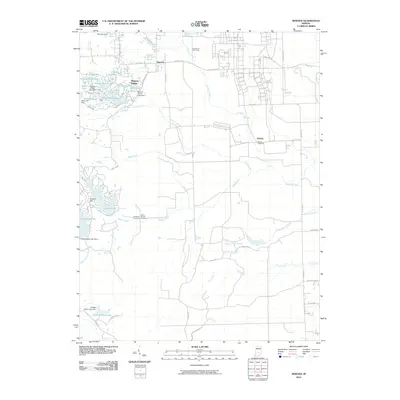 2010 Nineveh2010 Print · USGSJohnson County is shown here during a period of significant residential lake development in the early twenty-first century. Researchers can locate the Prisoner of War Camp and trace family heritage at Mount Moriah Cemetery or Kansas Cemetery.
 - 2010 Map of Greenwood, 2010 Print
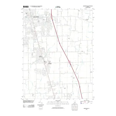 2010 Greenwood2010 Print · USGSGreenwood and the Whiteland communities are captured here during the rapid residential growth of the early 21st century. Genealogists and local researchers can locate numerous family burial grounds like Glade Cemetery and Williams Cemetery while tracing the winding path of Hurricane Creek.
 - 2010 Map of Edinburgh, 2010 Print
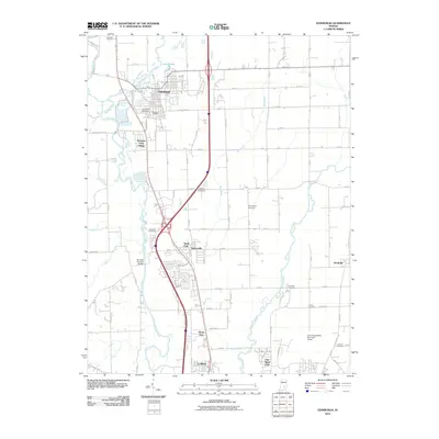 2010 Edinburgh2010 Print · USGSBartholomew County and the river-rich landscape south of Indianapolis are captured here in the early twenty-first century. Genealogists and local historians can trace family ties through Tannehill Cemetery and find the landmark Tannehill Covered Bridge.
 - 2010 Map of Marietta, 2010 Print
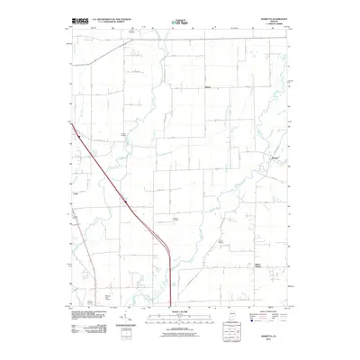 2010 Marietta2010 Print · USGSShelby County farmland and small crossroads settlements are mapped here during the early twenty-first century. Genealogists can locate several family burial sites including Needham Cemetery and Conover Cemetery along the banks of the Big Blue River.
 - 2010 Map of Acton, 2010 Print
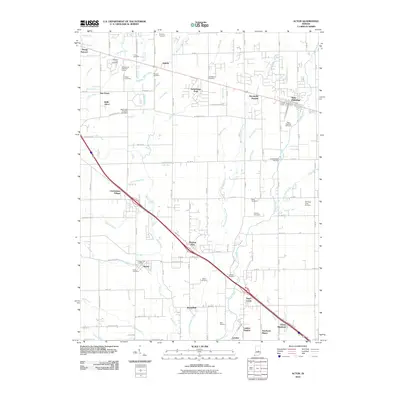 2010 Acton2010 Print · USGSSoutheast of Indianapolis in the early 2000s, this area shows a mix of traditional crossroads and new residential growth. Genealogists can trace family names at the Acton Cemetery, Freeman Cemetery, and Murnan Cemetery.
 - 2010 Map of Boggstown, 2010 Print
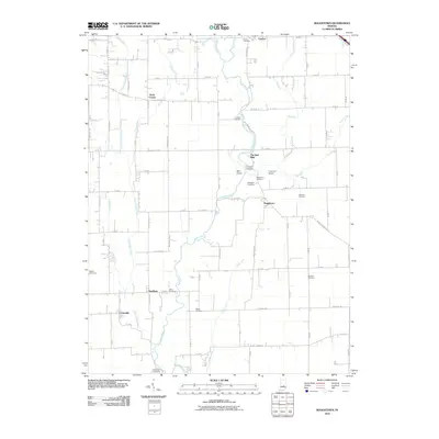 2010 Boggstown2010 Print · USGSJohnson County’s rural heartland is preserved here in the early twenty-first century, showing the enduring agricultural patterns around Boggstown. Researchers can locate numerous family burial sites like Wiles Cemetery or trace landmarks such as The Red Mills along Sugar Creek.
 - 2010 Map of Franklin, 2010 Print
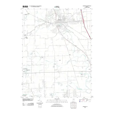 2010 Franklin2010 Print · USGSThe city of Franklin and its outlying townships are mapped here in the early twenty-first century, showing the enduring agricultural layout of Johnson County. Genealogists and historians can locate numerous small burial grounds including Mulligans Cemetery, Hopewell Cemetery, and Hamner Cemetery.
 - 2010 Map of Beech Grove, 2010 Print
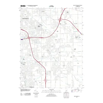 2010 Beech Grove2010 Print · USGSSoutheastern Marion County is shown in this 2010 survey as a transition between urban Indianapolis and expanding residential communities. Genealogists can trace numerous historic burial sites such as Deutsch Evangelical Cemetery and New Crown Cemetery near Beech Grove.
 - 2010 Map of Mooresville East, 2010 Print
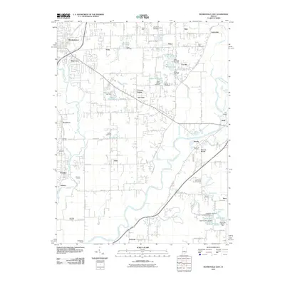 2010 Mooresville East2010 Print · USGSMorgan County is shown in detail during the early 21st century as suburban growth meets long-standing rural communities along the White River. Family history researchers can locate several burial grounds like Shiloh Cemetery and Mackenzie Cemetery among settlements such as Waverly and Banta.
 - 2011 Map of Maywood, 2011 Print
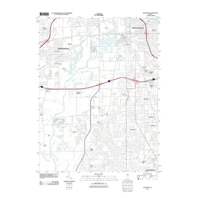 2011 Maywood2011 Print · USGSIndianapolis and its southern suburbs are captured here during a period of modern expansion and deep-rooted neighborhood identity. Genealogists and local historians can trace family ties through the Union Stockyards, Calvary Cemetery, and the University of Indianapolis.
 - 2011 Map of Bargersville, 2011 Print
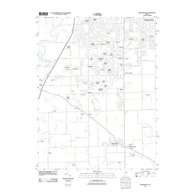 2011 Bargersville2011 Print · USGSBargersville and the southern reaches of Greenwood are captured here during a period of suburban expansion into the Johnson County countryside. Family history researchers can locate numerous burial sites like Messersmith Cemetery and trace the original layout of Old Bargersville.
 - 2013 Map of Acton, 2013 Print
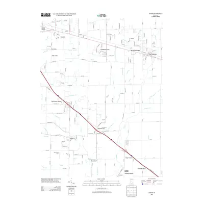 2013 Acton2013 Print · USGSSoutheast of Indianapolis in the early 2010s, this area shows a landscape defined by rapid suburban growth along historic transit corridors. Researchers can trace the layout of residential communities like Acton, New Palestine, and Pleasant View or locate landmarks like Marshall Field Airport.
 - 2013 Map of Edinburgh, 2013 Print
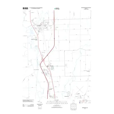 2013 Edinburgh2013 Print · USGSThe river valleys of south-central Indiana meet in the early twenty-first century as suburban growth extends from Edinburgh toward the municipal airport. Genealogists and local historians can trace modern developments like Pleasant View Village alongside landmarks like the Tannehill Covered Bridge.
 - 2013 Map of Marietta, 2013 Print
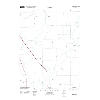 2013 Marietta2013 Print · USGSShelby County farmland and winding river valleys are captured here in the early twenty-first century. Genealogists and local historians can trace family-named waterworks like McCue Medsker Ditch and the historic settlements of Marietta and Bengal.
 - 2013 Map of Boggstown, 2013 Print
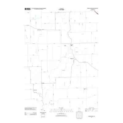 2013 Boggstown2013 Print · USGSJohnson County's rural heartland is documented here in the early twenty-first century, showing a landscape defined by meandering creeks and old farming hamlets. Genealogists and local historians can trace the areas around Boggstown, Needham, and the historic The Red Mills.
 - 2013 Map of Nineveh, 2013 Print
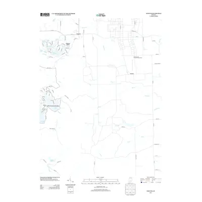 2013 Nineveh2013 Print · USGSNineveh and the surrounding lake communities are documented here in the early twenty-first century as the area continued its growth into a major recreational hub. Researchers can trace the dense residential streets of Princes Lakes or locate the sprawling Atterbury Field (Camp Atterbury) Airport near Kansas.
 - 2013 Map of Beech Grove, 2013 Print
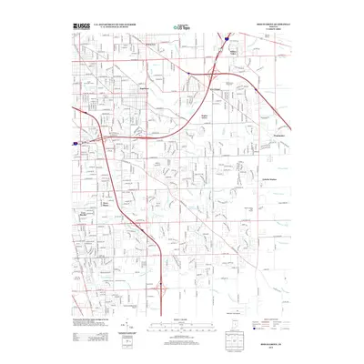 2013 Beech Grove2013 Print · USGSSoutheast Indianapolis in the early 2010s reveals a landscape where major interstate hubs meet historic suburban outposts. Genealogists and local historians can trace the growth of Wanamaker, locate the Marion County Fairgrounds, and identify neighborhoods like Ingallston and Sunnyview.
 - 2013 Map of Cope, 2013 Print
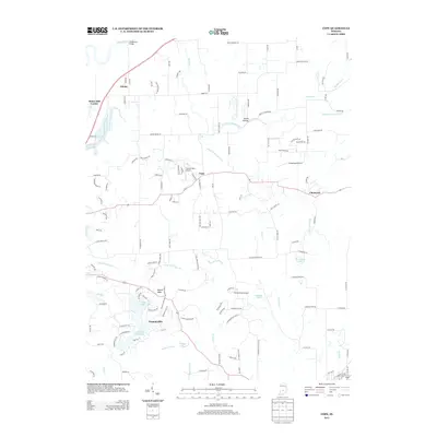 2013 Cope2013 Print · USGSMorgan County is captured here in the early twenty-first century, showing a mix of rural Indiana crossroads and private lakeside communities. Researchers can locate family landmarks like Stines Mill Corner or trace the development of Painted Hills and Little Nebo Lake.
 - 2013 Map of Franklin, 2013 Print
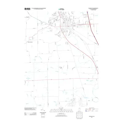 2013 Franklin2013 Print · USGSFranklin and the surrounding Johnson County countryside appear in this modern survey during a period of steady suburban and agricultural balance. Genealogists and local historians can locate Hopewell, Amity, and landmarks like the Franklin Flying Field Airport.
 - 2013 Map of Beanblossom, 2013 Print
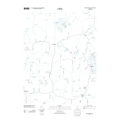 2013 Beanblossom2013 Print · USGSBeanblossom and Spearsville are situated in the creek-carved terrain of northern Brown County during the early twenty-first century. Researchers can trace local lineage through named landmarks like Bearwallow Hill, Zion Hill, and Panther Lick Hollow.
 - 2013 Map of Trafalgar, 2013 Print
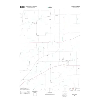 2013 Trafalgar2013 Print · USGSThe crossroads around Trafalgar in the early twenty-first century reveal a landscape of long-established farmsteads and creek-side settlements. Local historians can trace the geography of communities like Samaria and Providence or find landmarks like Pea Ridge and Bronson Airport.
 - 2013 Map of Maywood, 2013 Print
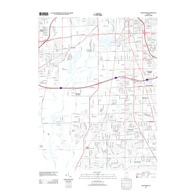 2013 Maywood2013 Print · USGSSouth Indianapolis and its neighboring suburbs are captured here during a period of significant infill and infrastructure growth. Genealogists and local historians can trace family locations across Mars Hill, University Heights, and the early plats of Sunshine Gardens.
Showing maps 1-25 of 56
Top cities of Johnson County
- Greenwood historical maps
- Franklin historical maps
- Needham historical maps
- New Whiteland historical maps
- Nineveh historical maps
- Whiteland historical maps
See more
Frequently asked questions
- What are the different types of historical maps available for Johnson County?
- What is the oldest map of Johnson County?
- Where can I purchase historical maps of Johnson County for my home or office?
- Where can I download high-res historical maps of Johnson County?
- Are there historical topographic maps available for Johnson County?
- Is there historical aerial imagery available for Johnson County?
- Where are historical maps of Johnson County sourced from?