2000s (21st Century) Maps of Warsaw, Indiana
Explore 20 historic maps of Warsaw from the 2000s (21st Century). These maps offer a rare glimpse into what life looked like during the 2000s — showing old roads, neighborhoods, homes, and landmarks that have changed or disappeared over time.
Whether you're researching your family's past, planning a metal detecting trip, or studying how Warsaw's landscape evolved across the 2000s, these high-resolution maps are a powerful tool for exploring the history of this region.
- Focus on a specific era: All maps on this page are from the 2000s, giving you a focused view of this time period.
- See what’s changed: Compare century-old streets, trails, and buildings to today's modern landscape using overlays and satellite layers.
- Research with precision: Use these maps for genealogy, historical research, land use analysis, or educational projects.
- View, download, or print: Maps are fully viewable online in high resolution, and can be downloaded or printed for your own records.
Start exploring Warsaw's history through authentic maps from the 2000s. This is your window into the past.
Warsaw, IN maps
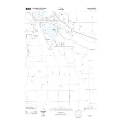
(20)- 2010 Map of Warsaw, 2010 Print
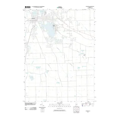 2010 Warsaw2010 Print · USGSCovers Warsaw, including Winona Lake, Kosciusko County, and other nearby areas
 - 2010 Map of Atwood, 2010 Print
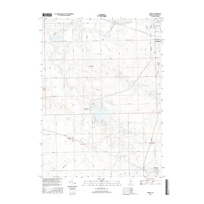
 2010 Atwood2010 Print · USGSCovers Warsaw, including Clunette, Atwood, and other nearby areas
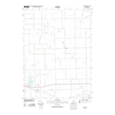
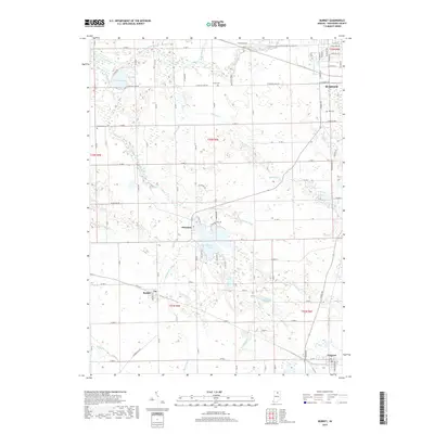
 - 2010 Map of Burket, 2010 Print
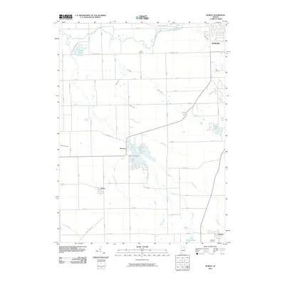 2010 Burket2010 Print · USGSCovers Warsaw, including Claypool, Burket, and other nearby areas
 - 2010 Map of Leesburg, 2010 Print
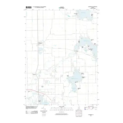 2010 Leesburg2010 Print · USGSCovers Warsaw, including Leesburg, Bell Rohr Park, and other nearby areas
 - 2013 Map of Warsaw, 2013 Print
 2013 Warsaw2013 Print · USGSCovers Warsaw, including Winona Lake, Kosciusko County, and other nearby areas
 - 2013 Map of Burket, 2013 Print
 2013 Burket2013 Print · USGSCovers Warsaw, including Claypool, Burket, and other nearby areas
 - 2013 Map of Atwood, 2013 Print
 2013 Atwood2013 Print · USGSCovers Warsaw, including Clunette, Atwood, and other nearby areas
 - 2013 Map of Leesburg, 2013 Print
 2013 Leesburg2013 Print · USGSCovers Warsaw, including Leesburg, Bell Rohr Park, and other nearby areas
 - 2016 Map of Burket, 2016 Print
 2016 Burket2016 Print · USGSCovers Warsaw, including Claypool, Burket, and other nearby areas
 - 2016 Map of Warsaw, 2016 Print
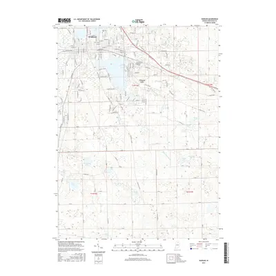 2016 Warsaw2016 Print · USGSCovers Warsaw, including Winona Lake, Kosciusko County, and other nearby areas
 - 2016 Map of Atwood, 2016 Print
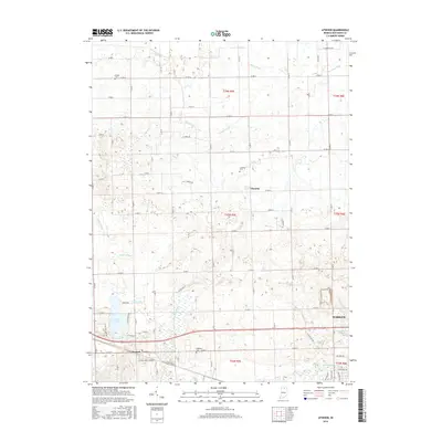 2016 Atwood2016 Print · USGSCovers Warsaw, including Clunette, Atwood, and other nearby areas
 - 2016 Map of Leesburg, 2016 Print
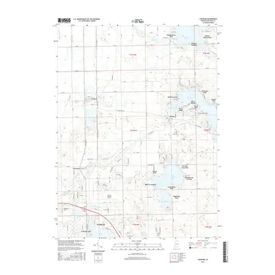 2016 Leesburg2016 Print · USGSCovers Warsaw, including Leesburg, Bell Rohr Park, and other nearby areas
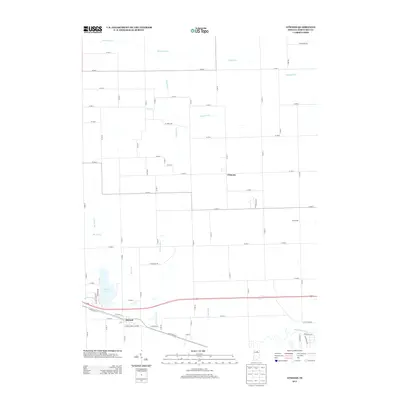
 - 2019 Map of Burket, 2019 Print
 2019 Burket2019 Print · USGSCovers Warsaw, including Claypool, Burket, and other nearby areas
 - 2019 Map of Leesburg, 2019 Print
 2019 Leesburg2019 Print · USGSCovers Warsaw, including Leesburg, Bell Rohr Park, and other nearby areas
 - 2019 Map of Warsaw, 2019 Print
 2019 Warsaw2019 Print · USGSCovers Warsaw, including Winona Lake, Kosciusko County, and other nearby areas
 - 2019 Map of Atwood, 2019 Print
 2019 Atwood2019 Print · USGSCovers Warsaw, including Clunette, Atwood, and other nearby areas
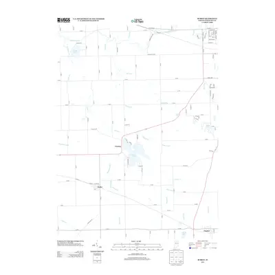
 - 2022 Map of Warsaw, 2022 Print
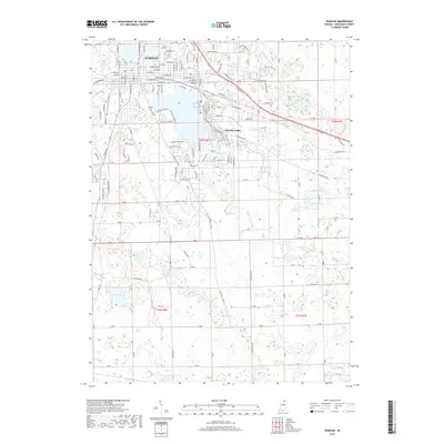
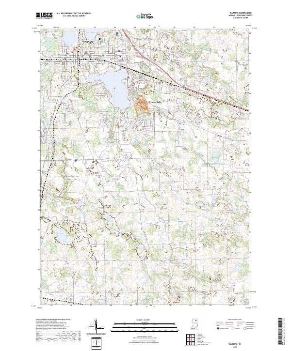 2022 Warsaw2022 Print · USGSThe Kosciusko County seat and the neighboring waters of Winona Lake are shown here in the early 2020s. Researchers can trace local history at the Kosciusko County Courthouse or locate family plots within Oakwood Cem.
 - 2022 Map of Atwood, 2022 Print
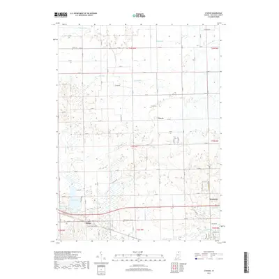
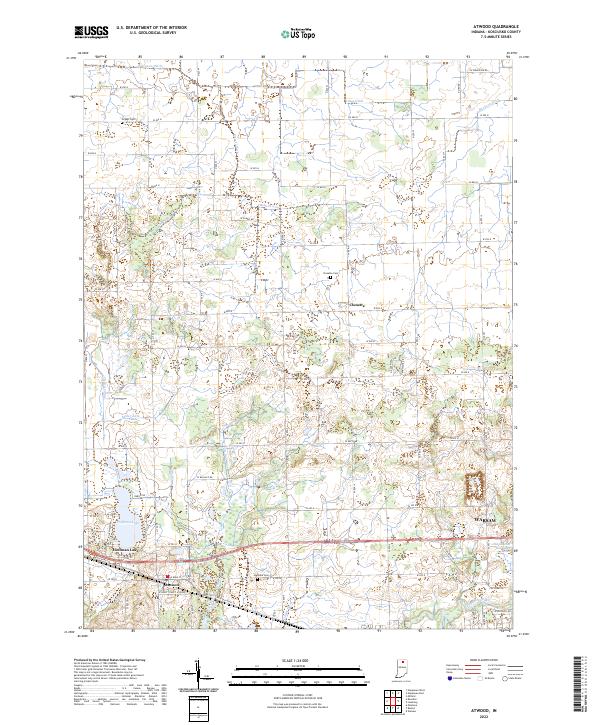 2022 Atwood2022 Print · USGSKosciusko County comes into focus in the early 2020s, showing a landscape of small agricultural hubs and complex drainage networks. Researchers can trace family history at Highland Cem or explore the water systems of Hoffman Lake and the Tippecanoe River.
 - 2022 Map of Burket, 2022 Print
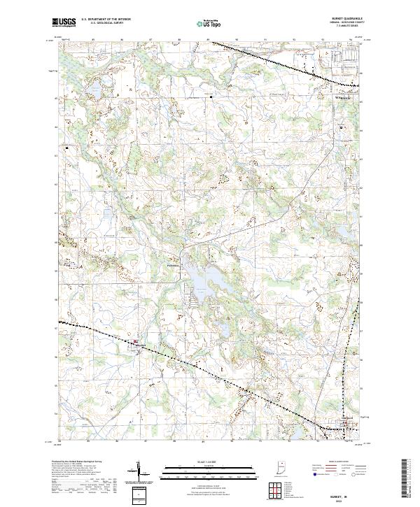 2022 Burket2022 Print · USGSIn the heart of Kosciusko County during the early 2020s, this area maintains its classic Indiana character of small lakefront villages and agricultural drainage. Researchers can trace family history at Union Cem or explore the water-bound landscapes of Palestine Lake and Burket.
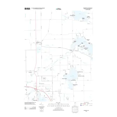
 - 2022 Map of Leesburg, 2022 Print
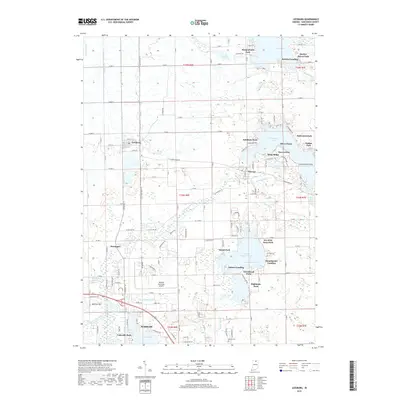
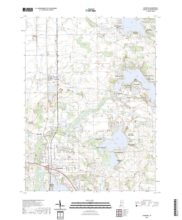 2022 Leesburg2022 Print · USGSNorthern Indiana lake country comes into focus in this recent survey of Kosciusko County. Genealogists and researchers can trace family landmarks and shoreline developments from Leesburg and Oswego to Stoneburner Landing and the Groves Cem.
End of results
Showing maps 1-20 of 20
Top cities near Warsaw
- Nappanee historical maps
- North Manchester historical maps
- Locke historical maps
- Winona Lake historical maps
- Syracuse historical maps
- South Whitley historical maps
See more
Top neighborhoods of Warsaw
Frequently asked questions
- What are the different types of historical maps available for Warsaw?
- What is the oldest map of Warsaw?
- Where can I purchase historical maps of Warsaw for my home or office?
- Where can I download high-res historical maps of Warsaw?
- Are there historical topographic maps available for Warsaw?
- Is there historical aerial imagery available for Warsaw?
- Where are historical maps of Warsaw sourced from?