2010s Maps of Owen County, Indiana
Explore 44 historic maps of Owen County from the 2010s. These maps offer a rare glimpse into what life looked like during the 2010s — showing old roads, neighborhoods, homes, and landmarks that have changed or disappeared over time.
Whether you're researching your family's past, planning a metal detecting trip, or studying how Owen County's landscape evolved across the 2010s, these high-resolution maps are a powerful tool for exploring the history of this region.
- Focus on a specific era: All maps on this page are from the 2010s, giving you a focused view of this time period.
- See what’s changed: Compare century-old streets, trails, and buildings to today's modern landscape using overlays and satellite layers.
- Research with precision: Use these maps for genealogy, historical research, land use analysis, or educational projects.
- View, download, or print: Maps are fully viewable online in high resolution, and can be downloaded or printed for your own records.
Start exploring Owen County's history through authentic maps from the 2010s. This is your window into the past.
Owen County, IN maps
(44)- 2010 Map of Clay City, 2010 Print
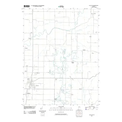 2010 Clay City2010 Print · USGSClay County at the start of the twenty-first century reveals a landscape shaped by the Eel River and generations of rural settlement. Genealogists and local historians can locate numerous burial sites like Zenor Cemetery and trace the layouts of Clay City and Middlebury.
 - 2010 Map of Coal City, 2010 Print
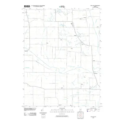 2010 Coal City2010 Print · USGSThis Owen County region shows the enduring footprint of rural settlements and 19th-century transit at the start of the 2010s. Genealogists can locate over a dozen burial sites including Scaffold Prairie Cemetery and trace the path of the Wabash and Erie Canal.
 - 2010 Map of Quincy, 2010 Print
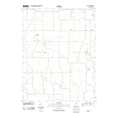 2010 Quincy2010 Print · USGSMorgan County is shown in the early twenty-first century as a landscape of rural junctions and family burial grounds. Genealogists can trace property lines and legacy sites like Mannan Cemetery, Little Mount Cemetery, and the rail-linked Wallace Junction.
 - 2010 Map of Cataract, 2010 Print
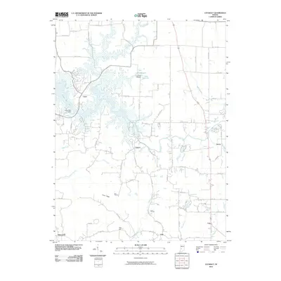 2010 Cataract2010 Print · USGSOwen County's landscape at the start of the 2010s centers on the rural crossings of the Mill Creek valley and the waters of Cagles Mill Lake. Researchers can trace local landmarks like Ernie Pyle Island, Maze Cemetery, and the famous cascades at Upper Cataract Falls.
 - 2010 Map of Whitehall, 2010 Print
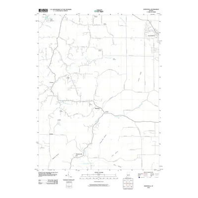 2010 Whitehall2010 Print · USGSMonroe and Greene County farmsteads and rural crossroads are captured here during the first decade of the new millennium. Genealogists can locate family plots at Hopewell Cemetery or Hudson Cemetery while tracing the waters of Richland Creek through Whitehall.
 - 2010 Map of Gosport, 2010 Print
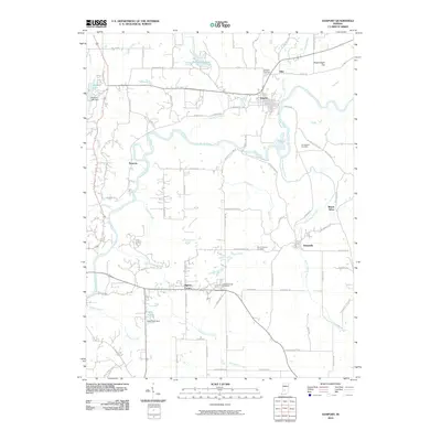 2010 Gosport2010 Print · USGSMonroe and Owen Counties are captured here at the start of the 2010s as the river-carved landscape shapes local settlement patterns. Genealogists can locate family landmarks like Gosport Cemetery, Highets Corner, and the small community of Silex.
 - 2010 Map of Patricksburg, 2010 Print
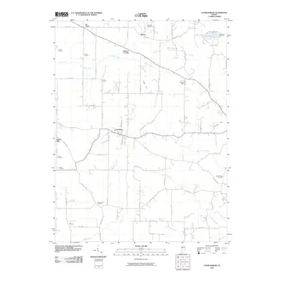 2010 Patricksburg2010 Print · USGSOwen County's rural landscape is captured here in the early twenty-first century, centered on the historic crossroads of Patricksburg. Genealogists and local historians can trace family roots through numerous sites like Steubenville Cemetery, Marion Mills, and Splinter Ridge Cemetery.
 - 2010 Map of Freedom, 2010 Print
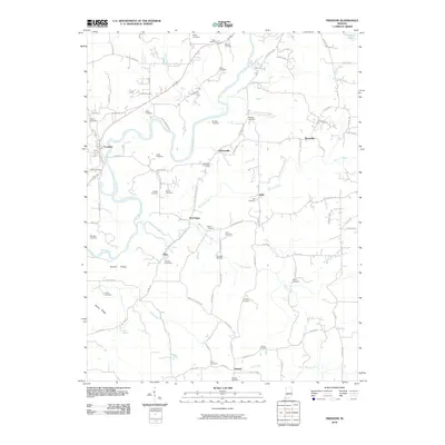 2010 Freedom2010 Print · USGSOwen County's river valleys and ridges are captured here in the early twenty-first century. Genealogists can trace family lines through over twenty named burial sites, including Hicks Cemetery and Livingston Cemetery, near rural hubs like Freedom and Newark.
 - 2010 Map of Poland, 2010 Print
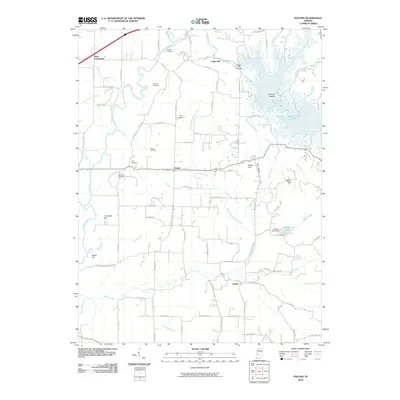 2010 Poland2010 Print · USGSIndiana's western interior at the start of the decade reveals a landscape where old family burial grounds and small settlements meet modern reservoir life. Researchers can trace ancestral sites at Greeley Cemetery or Nier Cemetery while exploring the area around Poland and the shores of Cagles Mill Lake.
 - 2010 Map of Spencer, 2010 Print
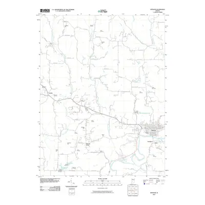 2010 Spencer2010 Print · USGSOwen County at the start of the decade shows a landscape shaped by the White River and deep-rooted rural communities. Genealogists can locate family burial sites at Riverside Cemetery, Saint Walley Cemetery, and Tipton Cemetery or trace the roads surrounding Vandalia.
 - 2010 Map of Arney, 2010 Print
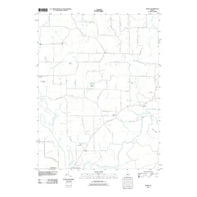 2010 Arney2010 Print · USGSIndiana's Greene County river country is captured in the early 2000s, showing the vital confluence of the Eel River and White River. Genealogists and local historians can trace family roots at Griffith Cemetery or locate the site of Point Commerce and the Farmers Ferry crossing.
 - 2013 Map of Clay City, 2013 Print
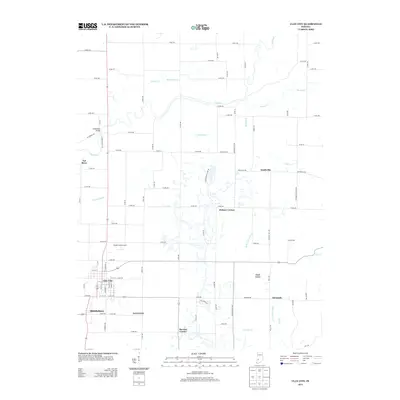 2013 Clay City2013 Print · USGSClay County at the start of the 2010s shows a landscape of established river towns and a dense network of rural county roads. Genealogists and local historians can trace family locations near Clay City, Middlebury, and the Wabash Camp Ground.
 - 2013 Map of Coal City, 2013 Print
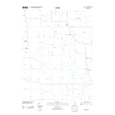 2013 Coal City2013 Print · USGSOwen County at the start of the 2010s reveals a rural landscape shaped by the historic Wabash and Erie Canal and the meandering Eel River. Researchers can trace the footprints of communities like Coal City, Daggett, and Stockton amid a network of drainage ditches and old county roads.
 - 2013 Map of Arney, 2013 Print
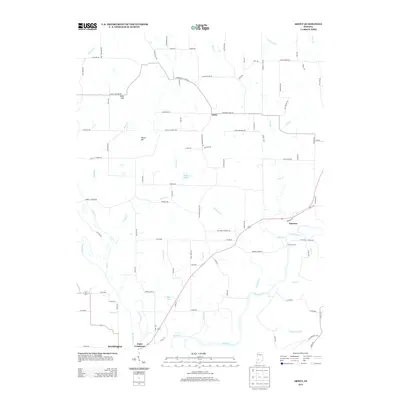 2013 Arney2013 Print · USGSThe confluence of the White River and Eel River defines this Indiana landscape in the early twenty-first century. Genealogists and local historians can trace family-named routes like Fiscus Cemetary Rd and locate settlements like Point Commerce and Farmers.
 - 2013 Map of Gosport, 2013 Print
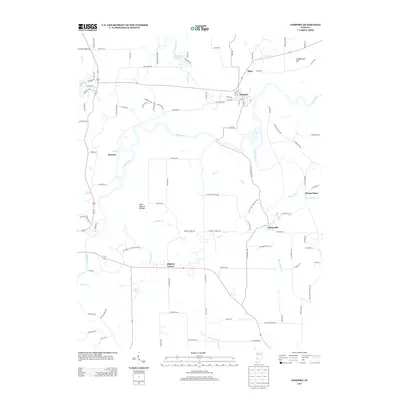 2013 Gosport2013 Print · USGSIn the early twenty-first century, this area near the Monroe-Owen county line reveals a landscape shaped by the White River and its many tributaries. Genealogists and local historians can trace family-named sites such as Arganbright Hill or explore the rural surroundings of Gosport, Stinesville, and Highets Corner.
 - 2013 Map of Patricksburg, 2013 Print
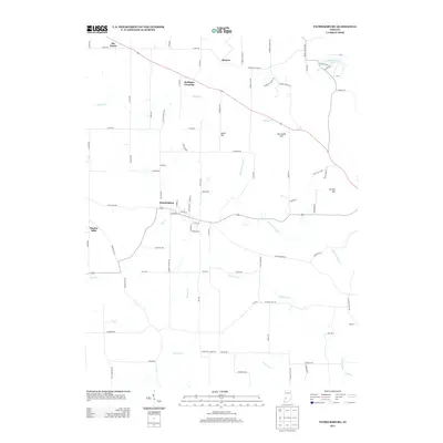 2013 Patricksburg2013 Print · USGSOwen County's rural character and complex drainage systems are on full display in this survey from the early 2010s. Genealogists and historians can trace the roads connecting Patricksburg to outlying areas like Marion Mills and Six Points.
 - 2013 Map of Freedom, 2013 Print
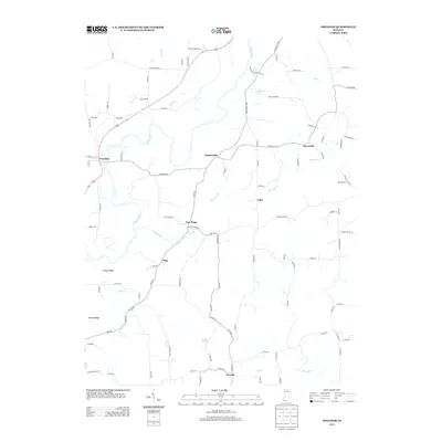 2013 Freedom2013 Print · USGSOwen County's rural heartland is meticulously documented in this 2013 survey of the White River valley. Researchers can trace family history through dispersed settlements like Freedom, Pottersville, and Vilas, or locate landmarks like Watkins Spring.
 - 2013 Map of Whitehall, 2013 Print
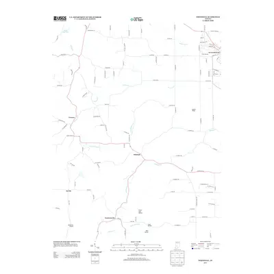 2013 Whitehall2013 Print · USGSEllettsville and the rural townships of Monroe County appear in detail during the early twenty-first century. Genealogists and local historians can trace family locations near Whitehall, Hendricksville, and the distinct topography of Louden Ridge or Blakeman Hollow.
 - 2013 Map of Poland, 2013 Print
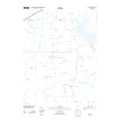 2013 Poland2013 Print · USGSThe rural landscape of Owen County is captured here in the early twenty-first century, centered on the historic crossroads of Poland. Researchers can trace family ties through landmarks like Cromwell Hill, Hulman Beach, and the winding banks of the Eel River.
 - 2013 Map of Spencer, 2013 Print
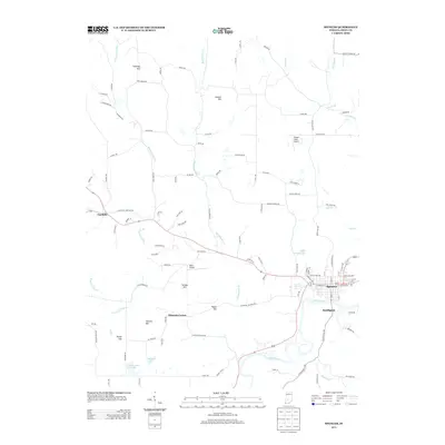 2013 Spencer2013 Print · USGSOwen County's river valley and surrounding hills are mapped here in the early twenty-first century as the White River passes through Spencer. Researchers can trace local landmarks and aviation history at Timber Trails Airport or explore smaller settlements like Vandalia and Southport.
 - 2013 Map of Quincy, 2013 Print
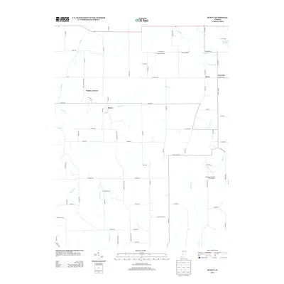 2013 Quincy2013 Print · USGSMorgan County's rural character is preserved in the early twenty-first century, showing the small settlements of Quincy and Lewisville. Local researchers can trace the reaches of Brush Cr, locate family landmarks like Lake Maxine, or identify private airstrips like Jack Oak Airport.
 - 2013 Map of Cataract, 2013 Print
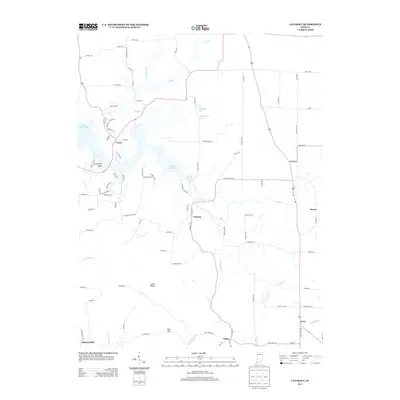 2013 Cataract2013 Print · USGSOwen County's diverse landscape is captured here in the early twenty-first century, centered on the waters of Cagles Mill Lake. Researchers can trace old property lines and rural communities like Cataract, Cunot, and Carp near the landmarks of Upper Cataract Falls.
 - 2016 Map of Arney, 2016 Print
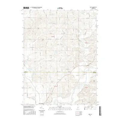 2016 Arney2016 Print · USGSNear the Owen and Greene County border, this 2010s survey captures the confluence of the Eel River and the White River. Trace local history through the sites of Arney and Point Commerce, or find family roots at Griffith Cem and Oak Grove Cem.
 - 2016 Map of Spencer, 2016 Print
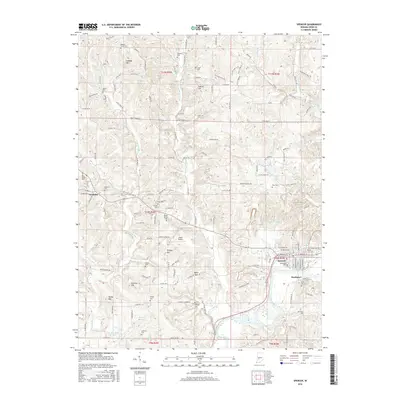 2016 Spencer2016 Print · USGSSpencer and the bends of the White River define this Owen County landscape during the mid-2010s. Genealogists and local historians can trace numerous family landmarks, from Kaufman Cem and Spears Cem to the rural settlement of Vandalia.
 - 2016 Map of Patricksburg, 2016 Print
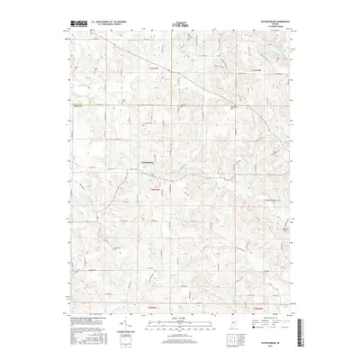 2016 Patricksburg2016 Print · USGSIndiana’s Owen County uplands appear in the mid-2010s, centered on the settlement of Patricksburg and its surrounding rural cemetery network. Researchers can trace family history at Olive Hill Cemetery, Steubenville Cemetery, and Rea Cemetery while exploring landmarks like Satan Hill.
Showing maps 1-25 of 44
Top cities of Owen County
Frequently asked questions
- What are the different types of historical maps available for Owen County?
- What is the oldest map of Owen County?
- Where can I purchase historical maps of Owen County for my home or office?
- Where can I download high-res historical maps of Owen County?
- Are there historical topographic maps available for Owen County?
- Is there historical aerial imagery available for Owen County?
- Where are historical maps of Owen County sourced from?