Old Maps of St. Paul, Indiana for Academic Research
Study the evolution of St. Paul with 16 high-resolution historic maps. Whether you're teaching, researching, or modeling changes in land use, these maps provide essential visual documentation of urban, environmental, and geographic change.
- Analyze long-term change: Track patterns in development, transportation, and natural features.
- Ideal for environmental or urban studies: Support academic projects with primary historical map data.
- Use in the classroom or lab: Educators and researchers rely on these maps to bring historical context to life.
These maps are a powerful tool for teaching, research, and visualizing how St. Paul has changed over the decades.
St. Paul, IN maps
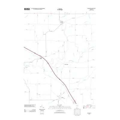
(16)- 1942 Map of Columbus
 1942 Columbus1942 Print · USGSBartholomew and Shelby counties are shown during the early years of the war, as military installations and rail lines reshaped the rural Indiana landscape. Genealogists can trace family-named sites and established communities like St Louis Crossing, Hope, and the sprawling Camp Atterbury.
 - 1953 Map of Cincinnati, 1965 Print
 1953 Cincinnati1965 Print · USGSThe Ohio River valley and the industrial heartland of Indiana and Ohio are captured here during the mid-century peak of rail and river commerce. Genealogists and historians can trace connections between Cincinnati and outlying military sites like Camp Atterbury and Bakalar AFB.3 unique versions available
 - 1956 Map of Waldron, 1957 Print
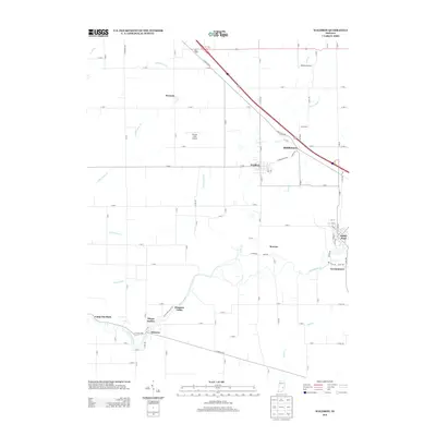
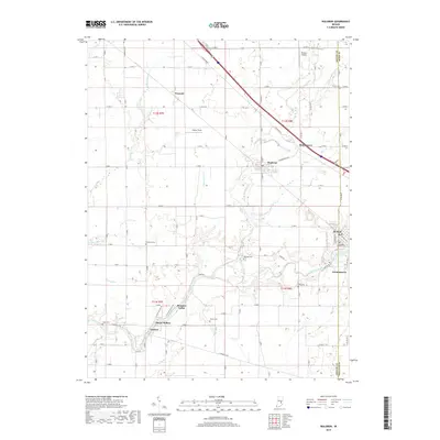
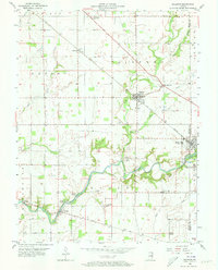 1956 Waldron1957 Print · USGSSoutheastern Shelby County comes alive in this mid-century survey of rural Indiana as it appeared before modern suburban sprawl. Researchers can locate family landmarks like Wesley Chapel, find the old Stone Quarry at Saint Paul, and trace the path of the New York Central railroad.5 unique versions available
 - 1957 Map of Cincinnati
 1957 Cincinnati1957 Print · USGSThe Ohio River valley and its surrounding highlands thrived during the mid-fifties industrial peak, centered on the bustling Cincinnati and Dayton metropolitan hubs. Researchers can trace the extensive rail networks and military sites like Wright-Patterson AFB and Camp Atterbury.
 - 1959 Map of Adams, 1960 Print
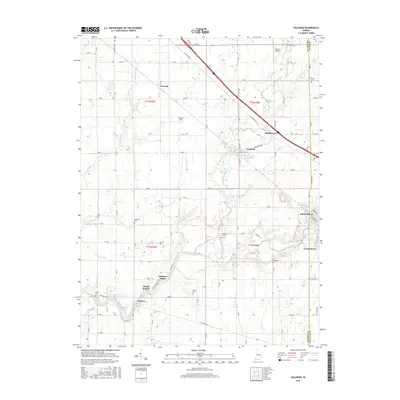
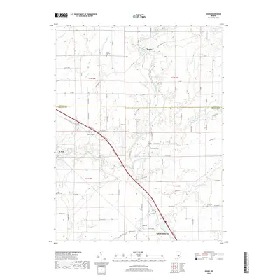
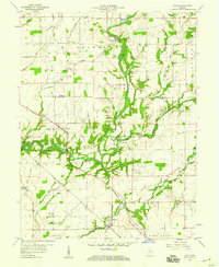 1959 Adams1960 Print · USGSSoutheastern Indiana's rural landscape is captured here in the late fifties, showing the river-carved borders of Rush and Decatur counties. Genealogists and researchers can locate several family-named landmarks and rural congregations, including Mt Hebron Cem, Star Ch, and the community of Downeyville.3 unique versions available
 - 1986 Map of Greensburg
 1986 Greensburg1986 Print · USGSSoutheastern Indiana in the mid-eighties shows a balance of growing industrial centers and deeply rooted rural communities. Family historians can trace landmarks like the Highland Center School, South Park Cemetery, and the Bartholomew County Courthouse among the river forks.2 unique versions available
 - 2010 Map of Waldron, 2010 Print
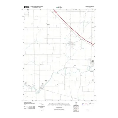 2010 Waldron2010 Print · USGSCovers St. Paul, including Saint Paul, Camp Flat Rock, and other nearby areas
 - 2010 Map of Adams, 2010 Print
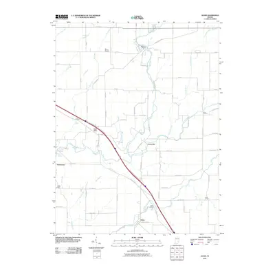 2010 Adams2010 Print · USGSCovers St. Paul, including Adams, Saint Omer, and other nearby areas
 - 2013 Map of Adams, 2013 Print
 2013 Adams2013 Print · USGSCovers St. Paul, including Adams, Saint Omer, and other nearby areas
 - 2013 Map of Waldron, 2013 Print
 2013 Waldron2013 Print · USGSCovers St. Paul, including Saint Paul, Camp Flat Rock, and other nearby areas
 - 2016 Map of Waldron, 2016 Print
 2016 Waldron2016 Print · USGSCovers St. Paul, including Saint Paul, Camp Flat Rock, and other nearby areas
 - 2016 Map of Adams, 2016 Print
 2016 Adams2016 Print · USGSCovers St. Paul, including Adams, Saint Omer, and other nearby areas
 - 2019 Map of Waldron, 2019 Print
 2019 Waldron2019 Print · USGSCovers St. Paul, including Saint Paul, Camp Flat Rock, and other nearby areas
 - 2019 Map of Adams, 2019 Print
 2019 Adams2019 Print · USGSCovers St. Paul, including Adams, Saint Omer, and other nearby areas
 - 2022 Map of Adams, 2022 Print
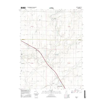
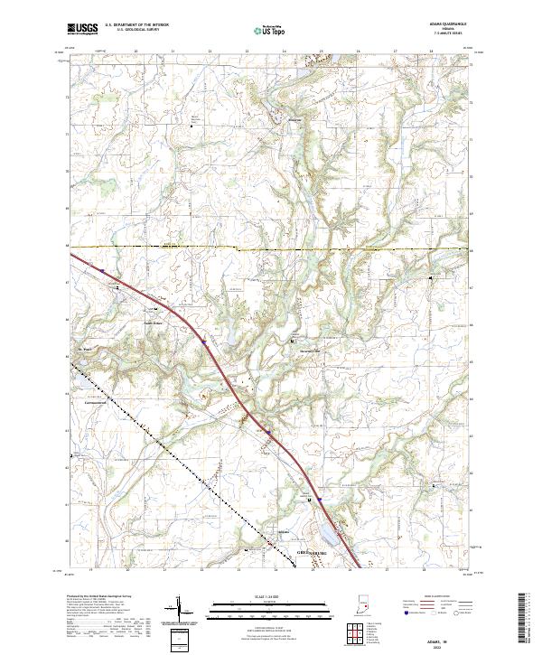 2022 Adams2022 Print · USGSThe borderlands of Rush and Decatur counties appear in high detail during the early 2020s, showing a landscape of structured farmsteads and river valleys. Genealogists can locate several family burial sites including Mount Hebron Cem, Shiloh Cem, and Arnold Cem.
 - 2022 Map of Waldron, 2022 Print
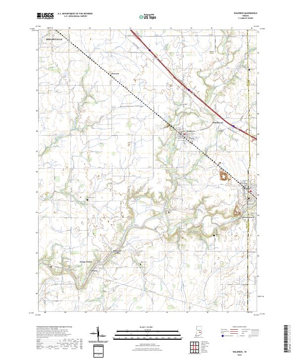 2022 Waldron2022 Print · USGSSoutheast Shelby County is documented here in the early 2020s, showing a landscape of fertile farmland between the Flatrock River and the outskirts of Shelbyville. Genealogists can locate several historic burial sites, including Saint Paul Catholic Cemetery, Van Pelt Cemetery, and Reed Cemetery.
End of results
Showing maps 1-16 of 16
Top cities near St. Paul
- Columbus historical maps
- Shelbyville historical maps
- Greensburg historical maps
- Rushville historical maps
- Hope historical maps
- Marion historical maps
See more
Top neighborhoods of St. Paul
Frequently asked questions
- What are the different types of historical maps available for St. Paul?
- What is the oldest map of St. Paul?
- Where can I purchase historical maps of St. Paul for my home or office?
- Where can I download high-res historical maps of St. Paul?
- Are there historical topographic maps available for St. Paul?
- Is there historical aerial imagery available for St. Paul?
- Where are historical maps of St. Paul sourced from?