2000s (21st Century) Maps of Washington County, Indiana
Explore 85 historic maps of Washington County from the 2000s (21st Century). These maps offer a rare glimpse into what life looked like during the 2000s — showing old roads, neighborhoods, homes, and landmarks that have changed or disappeared over time.
Whether you're researching your family's past, planning a metal detecting trip, or studying how Washington County's landscape evolved across the 2000s, these high-resolution maps are a powerful tool for exploring the history of this region.
- Focus on a specific era: All maps on this page are from the 2000s, giving you a focused view of this time period.
- See what’s changed: Compare century-old streets, trails, and buildings to today's modern landscape using overlays and satellite layers.
- Research with precision: Use these maps for genealogy, historical research, land use analysis, or educational projects.
- View, download, or print: Maps are fully viewable online in high resolution, and can be downloaded or printed for your own records.
Start exploring Washington County's history through authentic maps from the 2000s. This is your window into the past.
Washington County, IN maps
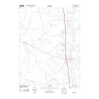
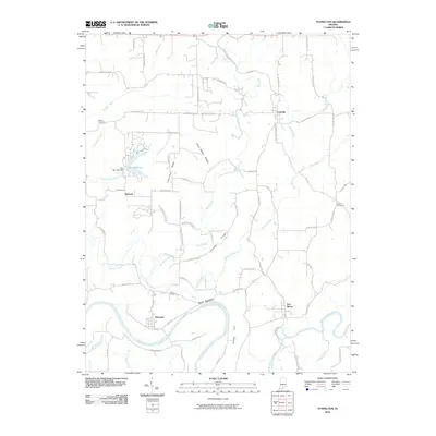
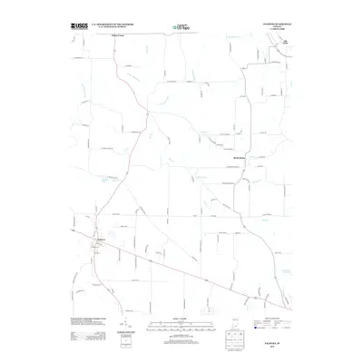
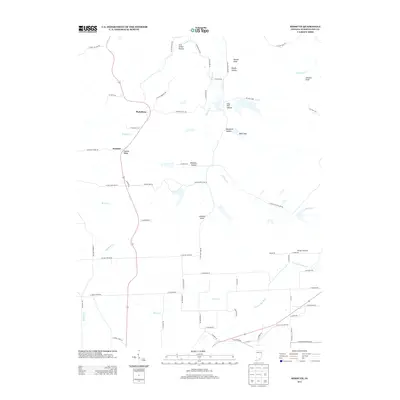
(85)- 2010 Map of Salem, 2010 Print
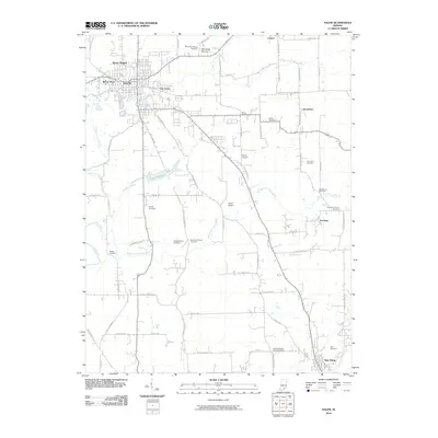 2010 Salem2010 Print · USGSCovers Washington County, including Salem, New Pekin, and other nearby areas
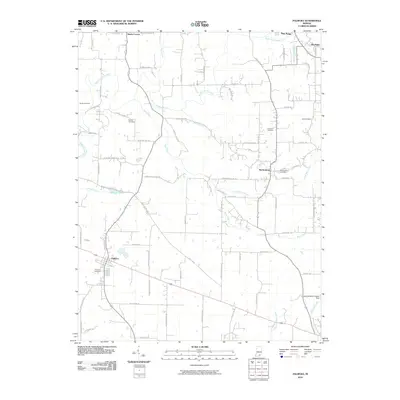
 - 2010 Map of Campbellsburg, 2010 Print
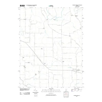 2010 Campbellsburg2010 Print · USGSCovers Washington County, including Bono, Campbellsburg, and other nearby areas
 - 2010 Map of Tampico, 2010 Print
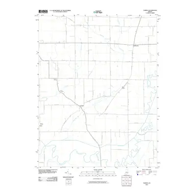 2010 Tampico2010 Print · USGSCovers Washington County, including Tampico, Dudleytown, and other nearby areas
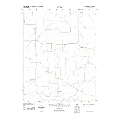
 - 2010 Map of Becks Mill, 2010 Print
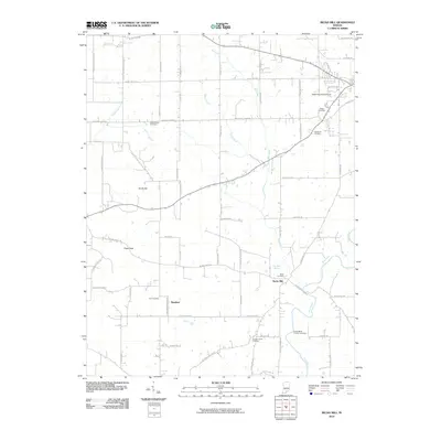 2010 Becks Mill2010 Print · USGSCovers Washington County, including Salem, Rosebud, and other nearby areas
 - 2010 Map of Henryville, 2010 Print
 2010 Henryville2010 Print · USGSCovers Washington County, including Henryville, Pigeon Roost Station, and other nearby areas
 - 2010 Map of Palmyra, 2010 Print
 2010 Palmyra2010 Print · USGSCovers Washington County, including New Pekin, Palmyra, and other nearby areas
 - 2010 Map of Little York, 2010 Print
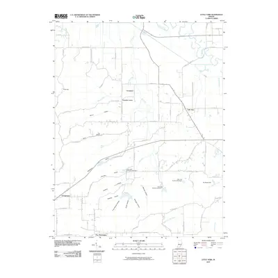 2010 Little York2010 Print · USGSCovers Washington County, including Little York, New Philadelphia, and other nearby areas
 - 2010 Map of South Boston, 2010 Print
 2010 South Boston2010 Print · USGSCovers Washington County, including Bartle, New Salem, and other nearby areas
 - 2010 Map of Tunnelton, 2010 Print
 2010 Tunnelton2010 Print · USGSCovers Washington County, including Pinhook, Fort Ritner, and other nearby areas
 - 2010 Map of Borden, 2010 Print
 2010 Borden2010 Print · USGSCovers Washington County, including Borden, Greenville, and other nearby areas
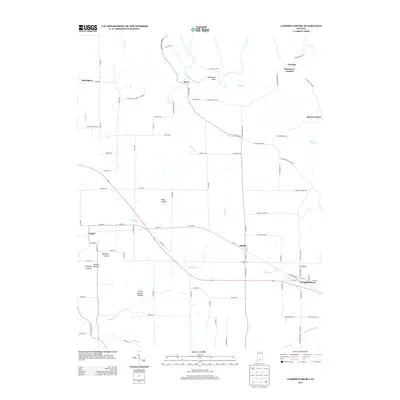
 - 2010 Map of Kossuth, 2010 Print
 2010 Kossuth2010 Print · USGSCovers Washington County, including Plattsburg, Kossuth, and other nearby areas
 - 2010 Map of Vallonia, 2010 Print
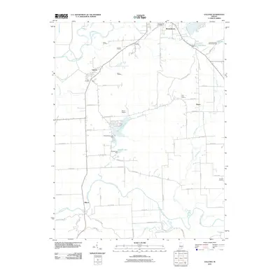 2010 Vallonia2010 Print · USGSCovers Washington County, including Brownstown, Millport, and other nearby areas
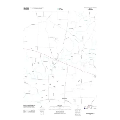
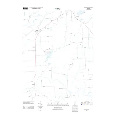
 - 2010 Map of Fredericksburg, 2010 Print
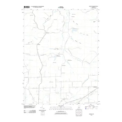
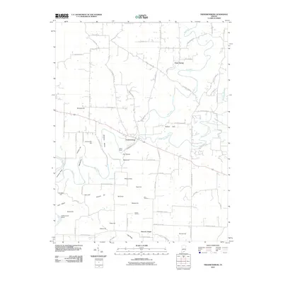 2010 Fredericksburg2010 Print · USGSCovers Washington County, including Fredericksburg, Organ Springs, and other nearby areas
 - 2010 Map of Smedley, 2010 Print
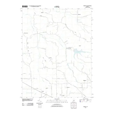 2010 Smedley2010 Print · USGSCovers Washington County, including Highland, Prowsville, and other nearby areas
 - 2010 Map of Medora, 2010 Print
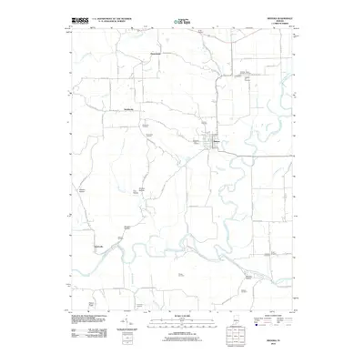 2010 Medora2010 Print · USGSCovers Washington County, including Medora, Pleasantville, and other nearby areas
 - 2010 Map of Livonia, 2010 Print
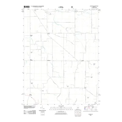 2010 Livonia2010 Print · USGSCovers Washington County, including Livonia, Mahan Crossing, and other nearby areas
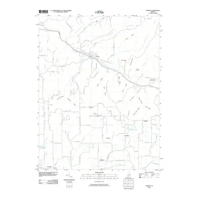
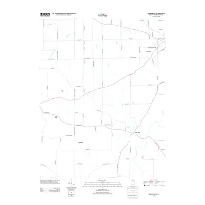
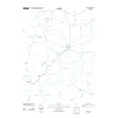
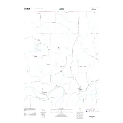
 - 2011 Map of Hardinsburg, 2011 Print
 2011 Hardinsburg2011 Print · USGSCovers Washington County, including Marengo, Hardinsburg, and other nearby areas
 - 2013 Map of Becks Mill, 2013 Print
 2013 Becks Mill2013 Print · USGSCovers Washington County, including Salem, Rosebud, and other nearby areas
 - 2013 Map of Fredericksburg, 2013 Print
 2013 Fredericksburg2013 Print · USGSCovers Washington County, including Fredericksburg, Organ Springs, and other nearby areas
 - 2013 Map of Campbellsburg, 2013 Print
 2013 Campbellsburg2013 Print · USGSCovers Washington County, including Bono, Campbellsburg, and other nearby areas
 - 2013 Map of Palmyra, 2013 Print
 2013 Palmyra2013 Print · USGSCovers Washington County, including New Pekin, Palmyra, and other nearby areas
 - 2013 Map of Medora, 2013 Print
 2013 Medora2013 Print · USGSCovers Washington County, including Medora, Pleasantville, and other nearby areas
 - 2013 Map of Vallonia, 2013 Print
 2013 Vallonia2013 Print · USGSCovers Washington County, including Brownstown, Millport, and other nearby areas
 - 2013 Map of Tunnelton, 2013 Print
 2013 Tunnelton2013 Print · USGSCovers Washington County, including Pinhook, Fort Ritner, and other nearby areas
 - 2013 Map of Kossuth, 2013 Print
 2013 Kossuth2013 Print · USGSCovers Washington County, including Plattsburg, Kossuth, and other nearby areas
Showing maps 1-25 of 85
Top cities of Washington County
- Salem historical maps
- New Pekin historical maps
- Campbellsburg historical maps
- Hardinsburg historical maps
- Little York historical maps
- Livonia historical maps
See more
Frequently asked questions
- What are the different types of historical maps available for Washington County?
- What is the oldest map of Washington County?
- Where can I purchase historical maps of Washington County for my home or office?
- Where can I download high-res historical maps of Washington County?
- Are there historical topographic maps available for Washington County?
- Is there historical aerial imagery available for Washington County?
- Where are historical maps of Washington County sourced from?