2010s Maps of Washington County, Indiana
Explore 68 historic maps of Washington County from the 2010s. These maps offer a rare glimpse into what life looked like during the 2010s — showing old roads, neighborhoods, homes, and landmarks that have changed or disappeared over time.
Whether you're researching your family's past, planning a metal detecting trip, or studying how Washington County's landscape evolved across the 2010s, these high-resolution maps are a powerful tool for exploring the history of this region.
- Focus on a specific era: All maps on this page are from the 2010s, giving you a focused view of this time period.
- See what’s changed: Compare century-old streets, trails, and buildings to today's modern landscape using overlays and satellite layers.
- Research with precision: Use these maps for genealogy, historical research, land use analysis, or educational projects.
- View, download, or print: Maps are fully viewable online in high resolution, and can be downloaded or printed for your own records.
Start exploring Washington County's history through authentic maps from the 2010s. This is your window into the past.
Washington County, IN maps
(68)- 2010 Map of Salem, 2010 Print
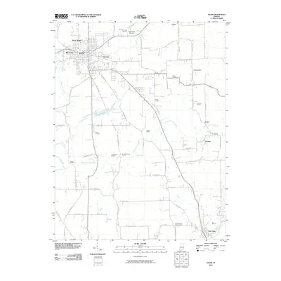 2010 Salem2010 Print · USGSWashington County at the turn of the decade reveals a landscape where the West Fork Blue River weaves through the regional hub of Salem. Local historians can trace family roots through a dense network of burial sites, including the Poor Farm Cemetery, Blue River Hicksite Cemetery, and Old Hebron Cemetery.
 - 2010 Map of Campbellsburg, 2010 Print
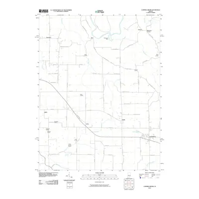 2010 Campbellsburg2010 Print · USGSSouthern Indiana at the start of the twenty-first century reveals a landscape of deep hollows and rural settlements along the East Fork White River. Genealogists can trace family history through several burial grounds, including Talbott Cemetery, Freed Cemetery, and New Hope Cemetery.
 - 2010 Map of Tampico, 2010 Print
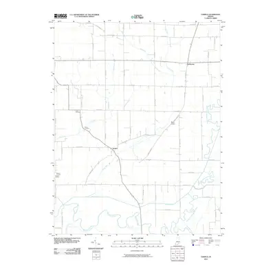 2010 Tampico2010 Print · USGSSouthern Jackson County in the early twenty-first century is a landscape of complex river forks and reclaimed farmland. Genealogists and local researchers can trace the vicinity of Tampico and Dudleytown, locating family landmarks like Lubker Cemetery and Rucker Cemetery.
 - 2010 Map of Becks Mill, 2010 Print
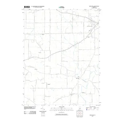 2010 Becks Mill2010 Print · USGSSouthern Indiana farmland and the Blue River valley are shown here in the early twenty-first century. Genealogists can trace family roots at the Smith-Miller Pioneer Cemetery and Hall Cemetery, or visit the landmark Becks Mill.
 - 2010 Map of Henryville, 2010 Print
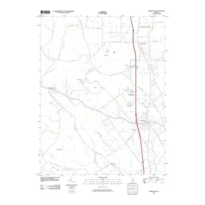 2010 Henryville2010 Print · USGSSouthern Indiana's Clark County is captured here just over a decade ago, showing the corridor between Henryville and Underwood. Genealogists and local historians can trace family locations near Mount Zion Cemetery or follow the CSX rail line past Pigeon Roost Station.
 - 2010 Map of Palmyra, 2010 Print
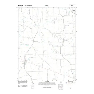 2010 Palmyra2010 Print · USGSSouthern Indiana's rolling landscape is documented here in the early twenty-first century as small towns and family farms persist along the river forks. Genealogists can locate several historic burial sites like Hiestand Cemetery and Palmyra Cemetery while tracing the path of the ancient Buffalo Trace Rd.
 - 2010 Map of Little York, 2010 Print
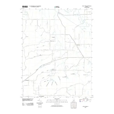 2010 Little York2010 Print · USGSLittle York and its neighboring settlements are shown here in the early twenty-first century amidst a landscape of deep hollows and rural crossroads. Genealogists can trace family-named terrain like Rutherford Hollow and Vic Swaim Hill or locate homes near Pumpkin Center and Gooseport.
 - 2010 Map of South Boston, 2010 Print
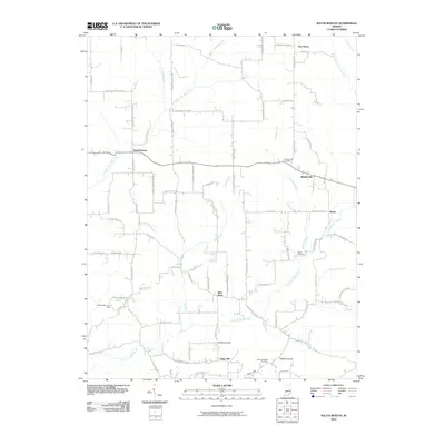 2010 South Boston2010 Print · USGSSoutheastern Washington County is shown in this early 21st-century survey, where rural life centers on the forks of the Blue River. Genealogists and local historians can locate several resting places including Chestnut Hill Cemetery and trace old roads through South Boston and Bunker Hill.
 - 2010 Map of Tunnelton, 2010 Print
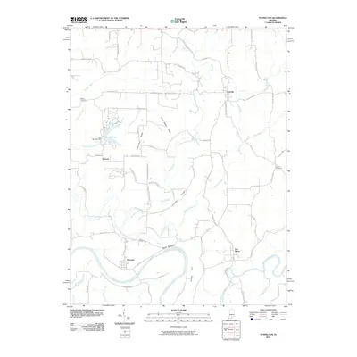 2010 Tunnelton2010 Print · USGSLawrence County, Indiana, in the early 2000s remains a land of river bends and high ridges. Researchers can trace rural settlement patterns at Tunnelton and Fort Ritner, or locate family history at Sherrill Cemetery and the notable Devils Backbone ridge.
 - 2010 Map of Borden, 2010 Print
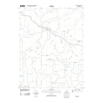 2010 Borden2010 Print · USGSSouthern Indiana's rural Clark County landscape is captured here in the early twenty-first century, centered on the valley of the Muddy Fork. Local historians can trace family locations near Starlight and Navilleton, or locate ancestral sites at Pleasant Ridge Cemetery and Mount Eden Cemetery.
 - 2010 Map of Kossuth, 2010 Print
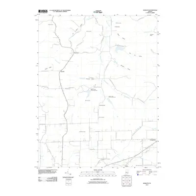 2010 Kossuth2010 Print · USGSWashington County, Indiana, is captured here in the early twenty-first century, showing a landscape defined by small crossroads settlements and deep-rooted family history. Genealogists can locate numerous burial sites including Blue River Quaker Orthodox Cemetery, Ridlen Cemetery, and Nicholson Cemetery.
 - 2010 Map of Vallonia, 2010 Print
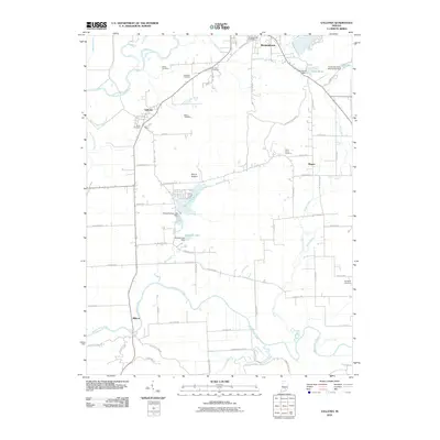 2010 Vallonia2010 Print · USGSJackson County at the start of the 2010s reveals a landscape of river-bottom farms and rural hamlets linked by a dense network of county roads. Researchers can locate numerous family and community landmarks like Peters Cemetery, Saint Pauls Cemetery, and the Starve Hollow Lake Dam.
 - 2010 Map of Fredericksburg, 2010 Print
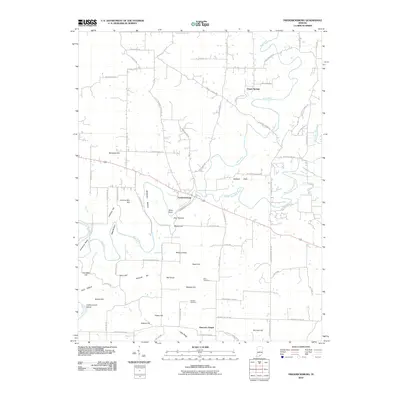 2010 Fredericksburg2010 Print · USGSThe rural landscape of Washington County comes alive in this early 21st-century survey of the Blue River valley. Researchers can trace family history through sites like Hancock Chapel, Reno Cemetery, and the high ground of Wildcat Knob and McIntosh Hill.
 - 2010 Map of Smedley, 2010 Print
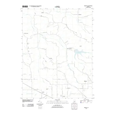 2010 Smedley2010 Print · USGSSouthern Indiana's rural landscape is mapped here in the early twenty-first century as it appeared between the forks of the Lost River and the heights of Fleener Ridge. Genealogists can trace the locations of the Old Smedley Cemetery and New Philadelphia Cemetery near small settlements like Prowsville and Smedley.
 - 2010 Map of Medora, 2010 Print
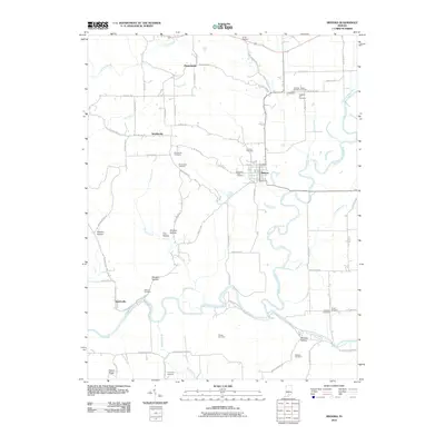 2010 Medora2010 Print · USGSJackson County at the start of the decade shows a landscape shaped by the East Fork White River and its many hollows. Researchers can trace family sites at Hinderlider Cemetery, Shoemaker Cemetery, and Pleasantville.
 - 2010 Map of Livonia, 2010 Print
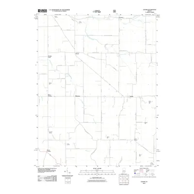 2010 Livonia2010 Print · USGSSouthern Indiana's rural landscape is captured here in the years before recent development. Researchers can trace family history through several burial sites like Sinking Spring Cemetery and old crossroads like Millersburg and Bromer.
 - 2011 Map of Hardinsburg, 2011 Print
 2011 Hardinsburg2011 Print · USGSSouthern Indiana's karst landscape is documented here in the early 2000s, showing the rural area between Hardinsburg and Marengo. Researchers can trace old family burial sites at Walton Cemetery or investigate unique geological features like Scotland Cave Sink and Honey Sink.
 - 2013 Map of Becks Mill, 2013 Print
 2013 Becks Mill2013 Print · USGSIndiana's karst country near Salem is captured here in the early twenty-first century, showing a landscape shaped by the Lost River and the Blue River. Genealogists and local historians can trace family roots around Becks Mill, Rosebud, and Indian Spring.
 - 2013 Map of Fredericksburg, 2013 Print
 2013 Fredericksburg2013 Print · USGSWashington County enters the twenty-first century with its river-carved landscape and rural crossroads well-defined. Genealogists and hikers can trace family-named landmarks like Greene Mill Hill, visit the community at Hancock Chapel, or locate Leatherwood Island along the Blue River.
 - 2013 Map of Campbellsburg, 2013 Print
 2013 Campbellsburg2013 Print · USGSSouthern Indiana's river valleys and small rural settlements are documented here during the early twenty-first century. Genealogists and local historians can trace family-named landmarks and old communities like Bono, Saltillo, and the uniquely named Brimstone Corners.
 - 2013 Map of Palmyra, 2013 Print
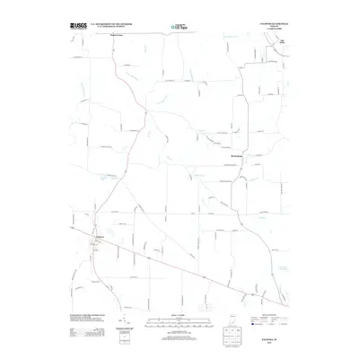 2013 Palmyra2013 Print · USGSSouthern Indiana at the start of the 2010s reveals a landscape of rural crossroads and river tributaries. Genealogists and local historians can trace the developments around Palmyra, the streets of Old Pekin, and the quiet outskirts of Martinsburg.
 - 2013 Map of Medora, 2013 Print
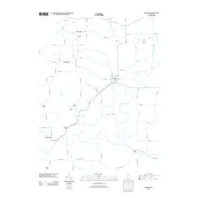 2013 Medora2013 Print · USGSJackson County rural life and river geography are on full display in the early twenty-first century, centered on the town of Medora. Researchers can trace old family landmarks and local drainages through Pleasantville, Fleene Ridge, and the E Fork White River bottomlands.
 - 2013 Map of Vallonia, 2013 Print
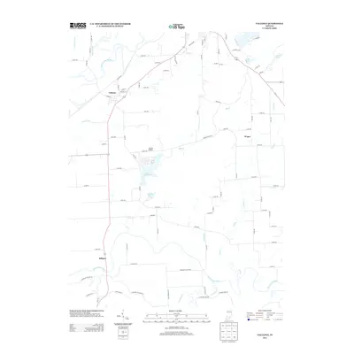 2013 Vallonia2013 Print · USGSSouthern Indiana's river-bottom lands are captured here in the early twenty-first century, bounded by the E Fork White River and Muscatatuck River. Genealogists and local historians can trace the roads connecting Vallonia, Wegan, and Millport or locate family sites near Starve Hollow Lake.
 - 2013 Map of Tunnelton, 2013 Print
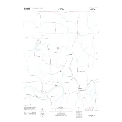 2013 Tunnelton2013 Print · USGSLawrence County, Indiana, in the early twenty-first century remains defined by its steep ridges and the path of the E Fork White River. Genealogists and local historians can trace family locations near the Devils Backbone and the old river towns of Tunnelton and Fort Ritner.
 - 2013 Map of Kossuth, 2013 Print
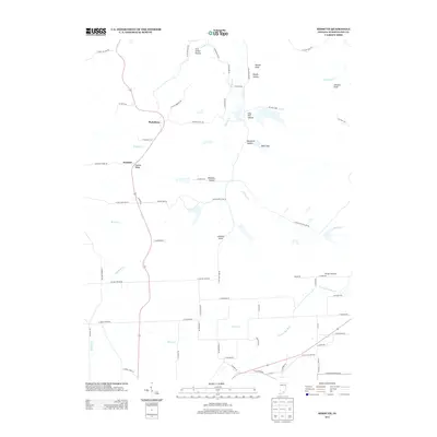 2013 Kossuth2013 Print · USGSIndiana’s Washington County hills are shown here in the early twenty-first century, centered on the rural settlements of Plattsburg and Kossuth. Genealogists and historians can trace family-named landmarks like Johnson Knob, find the Morgan Airfield, and follow the path of the Old Mail Rte.
Showing maps 1-25 of 68
Top cities of Washington County
- Salem historical maps
- New Pekin historical maps
- Campbellsburg historical maps
- Hardinsburg historical maps
- Little York historical maps
- Livonia historical maps
See more
Frequently asked questions
- What are the different types of historical maps available for Washington County?
- What is the oldest map of Washington County?
- Where can I purchase historical maps of Washington County for my home or office?
- Where can I download high-res historical maps of Washington County?
- Are there historical topographic maps available for Washington County?
- Is there historical aerial imagery available for Washington County?
- Where are historical maps of Washington County sourced from?