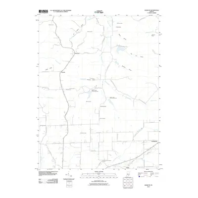
2010 Map of Kossuth
USGS Topo · Published 2010About this map
Plattsburg and Kossuth anchor the rural landscape of northern Washington County on this 2010 topographic survey. The area is defined by a deep network of family and community history, evidenced by numerous burial grounds such as Collett Cemetery, Gater Cemetery, and the Blue River Quaker Orthodox Cemetery near the southern boundary. These sites are situated among the intricate drainage systems of Delaney Creek and the West Fork Blue River, where local topography is punctuated by landmarks like Potato Knob and Johnson Knob.
Find a feature on this map
68 named features on this map. Tap any name to fly to it.
Don’t see what you’re looking for? This feature index may not catch every label — zoom into the map to look around manually.
Map Details
Editions of this 2010 Kossuth Map
This is the sole edition of this map. No revisions or reprints were ever made.
Other maps of this area

1950 · Salem
USGS Topo · 1:24,000

1950 · Becks Mill
USGS Topo · 1:24,000

1951 · Smedley
USGS Topo · 1:24,000

1953 · Kossuth
USGS Topo · 1:24,000

1955 · South Boston
USGS Topo · 1:24,000

1956 · Vincennes
USGS Topo · 1:250,000

1956 · Louisville
USGS Topo · 1:250,000

1957 · Vincennes
USGS Topo · 1:250,000

1958 · Vincennes
USGS Topo · 1:250,000

1958 · Little York
USGS Topo · 1:24,000