Old Maps of Cherokee, Iowa for Academic Research
Study the evolution of Cherokee with 16 high-resolution historic maps. Whether you're teaching, researching, or modeling changes in land use, these maps provide essential visual documentation of urban, environmental, and geographic change.
- Analyze long-term change: Track patterns in development, transportation, and natural features.
- Ideal for environmental or urban studies: Support academic projects with primary historical map data.
- Use in the classroom or lab: Educators and researchers rely on these maps to bring historical context to life.
These maps are a powerful tool for teaching, research, and visualizing how Cherokee has changed over the decades.
Cherokee, IA maps
(16)- 1954 Map of Fort Dodge, 1968 Print
 1954 Fort Dodge1968 Print · USGSNorthwest Iowa is shown here during a period of steady industrial and rail activity in the mid-fifties. Researchers can trace the extensive rail lines connecting Fort Dodge to mining and manufacturing sites like Gypsum and Industry Station.3 unique versions available
 - 1957 Map of Fort Dodge
 1957 Fort Dodge1957 Print · USGSWest-central Iowa thrived as a network of rail-linked agricultural hubs and river towns during the mid-fifties. Researchers can trace the development of the Des Moines River valley and locate historic landmarks in Fort Dodge, Storm Lake, and Lehigh.
 - 1958 Map of Fort Dodge
 1958 Fort Dodge1958 Print · USGSWestern Iowa in the mid-1950s reveals a productive landscape of river-valley industry and prairie agricultural hubs. Researchers can trace the development of the Des Moines River corridor through Fort Dodge and locate vanished local landmarks near Coalville or Storm Lake.
 - 1969 Map of Cherokee South, 1971 Print
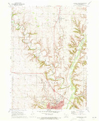
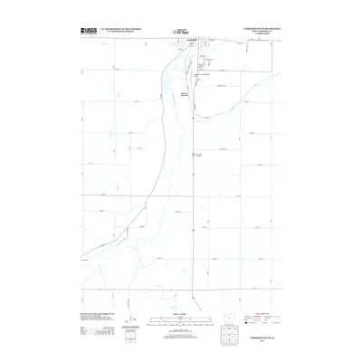
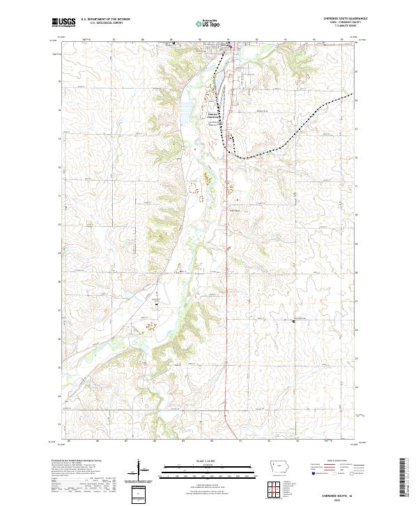
 1969 Cherokee South1971 Print · USGSCherokee and the surrounding Iowa townships appear in the late 1960s as the regional hub of the Little Sioux River valley. Genealogists and local historians can trace rural landmarks from Mt Olive Ch and Lincoln Sch to the grounds of Oak Hill Cemetery.
 - 1971 Map of Cherokee North, 1973 Print
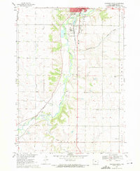
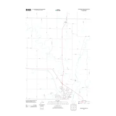
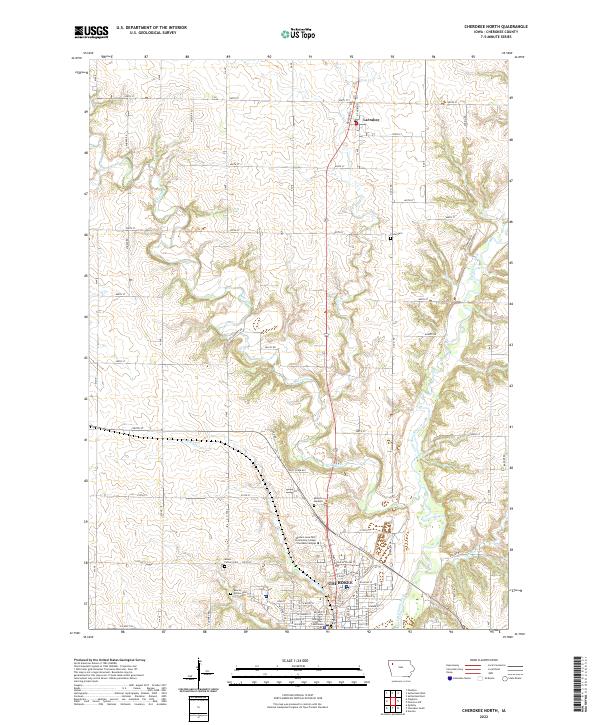
 1971 Cherokee North1973 Print · USGSNorthwestern Iowa in the early seventies centers on the winding Little Sioux River and the growing county seat. Genealogists and local historians can trace the foundations of Cherokee, from the Cherokee State Hospital to Cedar Cem and Webster Sch.
 - 1985 Map of Storm Lake
 1985 Storm Lake1985 Print · USGSNorthwest Iowa's agricultural heartland is documented here in the mid-eighties, showing the vital rail-and-river network of the Little Sioux valley. Researchers can trace the legacy of regional hubs and smaller rail towns like Sutherland, Paullina, and Cherokee.3 unique versions available
 - 2010 Map of Cherokee North, 2010 Print
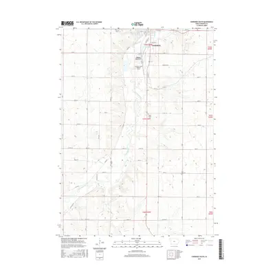
 2010 Cherokee North2010 Print · USGSCovers Cherokee, including Larrabee, Cherokee County, and other nearby areas
 - 2010 Map of Cherokee South, 2010 Print
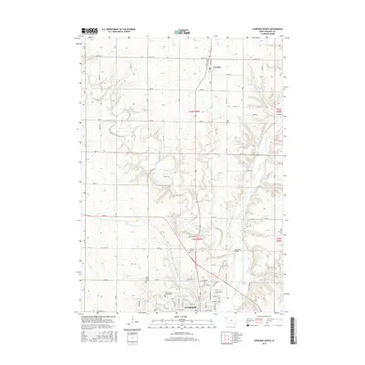
 2010 Cherokee South2010 Print · USGSCovers Cherokee, including Cherokee County, United States, and other nearby areas
 - 2013 Map of Cherokee South, 2013 Print
 2013 Cherokee South2013 Print · USGSCovers Cherokee, including Cherokee County, United States, and other nearby areas
 - 2013 Map of Cherokee North, 2013 Print
 2013 Cherokee North2013 Print · USGSCovers Cherokee, including Larrabee, Cherokee County, and other nearby areas
 - 2015 Map of Cherokee South, 2015 Print
 2015 Cherokee South2015 Print · USGSCovers Cherokee, including Cherokee County, United States, and other nearby areas
 - 2015 Map of Cherokee North, 2015 Print
 2015 Cherokee North2015 Print · USGSCovers Cherokee, including Larrabee, Cherokee County, and other nearby areas
 - 2018 Map of Cherokee North, 2018 Print
 2018 Cherokee North2018 Print · USGSCovers Cherokee, including Larrabee, Cherokee County, and other nearby areas
 - 2018 Map of Cherokee South, 2018 Print
 2018 Cherokee South2018 Print · USGSCovers Cherokee, including Cherokee County, United States, and other nearby areas
 - 2022 Map of Cherokee North, 2022 Print
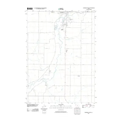
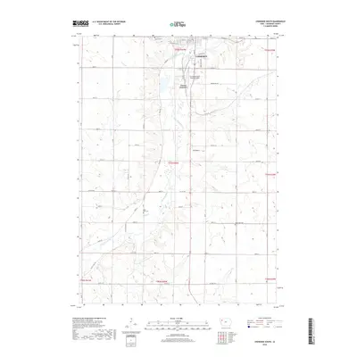
 2022 Cherokee North2022 Print · USGSThe river-valley city of Cherokee and the rural township of Larrabee are shown here during the early twenty-first century. Genealogists and local historians can trace family plots at Cedar Cem and Hollow Cem or locate the Cherokee County Courthouse.
 - 2022 Map of Cherokee South, 2022 Print
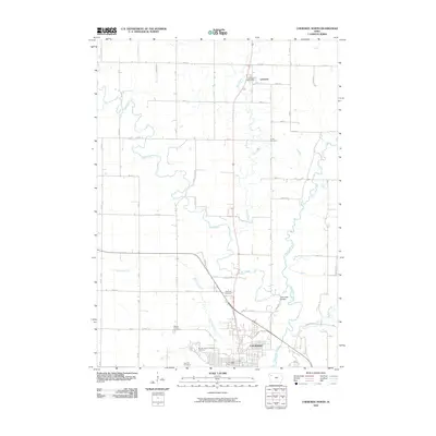
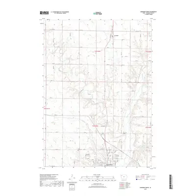
 2022 Cherokee South2022 Print · USGSCherokee County in the early twenty-first century is defined by its agricultural grid and the deep valley of the Little Sioux River. Genealogists and local historians can trace the locations of Oak Hill Cem, West Point Cem, and the landmark Pilot Rock.
End of results
Showing maps 1-16 of 16
Top cities near Cherokee
- Aurelia historical maps
- Sutherland historical maps
- Quimby historical maps
- Peterson historical maps
- Cleghorn historical maps
- Washta historical maps
See more
Frequently asked questions
- What are the different types of historical maps available for Cherokee?
- What is the oldest map of Cherokee?
- Where can I purchase historical maps of Cherokee for my home or office?
- Where can I download high-res historical maps of Cherokee?
- Are there historical topographic maps available for Cherokee?
- Is there historical aerial imagery available for Cherokee?
- Where are historical maps of Cherokee sourced from?