2000s (21st Century) Maps of Chester, Iowa
Explore 20 historic maps of Chester from the 2000s (21st Century). These maps offer a rare glimpse into what life looked like during the 2000s — showing old roads, neighborhoods, homes, and landmarks that have changed or disappeared over time.
Whether you're researching your family's past, planning a metal detecting trip, or studying how Chester's landscape evolved across the 2000s, these high-resolution maps are a powerful tool for exploring the history of this region.
- Focus on a specific era: All maps on this page are from the 2000s, giving you a focused view of this time period.
- See what’s changed: Compare century-old streets, trails, and buildings to today's modern landscape using overlays and satellite layers.
- Research with precision: Use these maps for genealogy, historical research, land use analysis, or educational projects.
- View, download, or print: Maps are fully viewable online in high resolution, and can be downloaded or printed for your own records.
Start exploring Chester's history through authentic maps from the 2000s. This is your window into the past.
Chester, IA maps
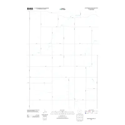
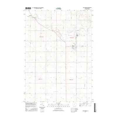
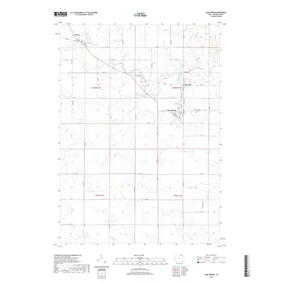
(20)- 2010 Map of Lime Springs NW, 2010 Print
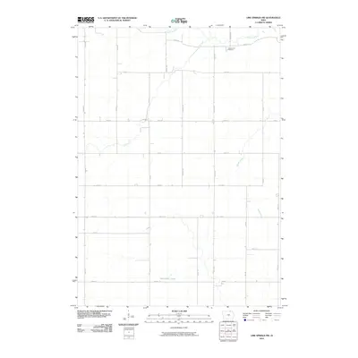 2010 Lime Springs NW2010 Print · USGSCovers Chester, including Howard County, United States, and other nearby areas
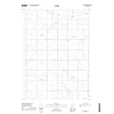
 - 2010 Map of Lime Springs, 2010 Print
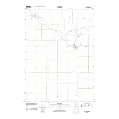 2010 Lime Springs2010 Print · USGSCovers Chester, including Lime Springs, Lidtke Mill, and other nearby areas
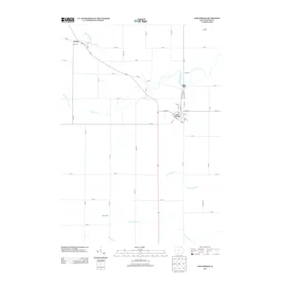
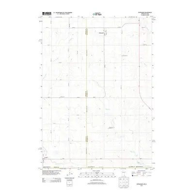
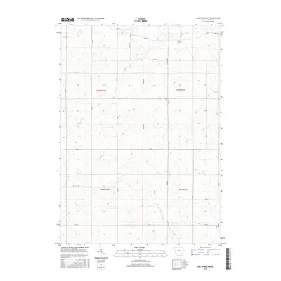
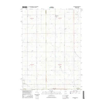
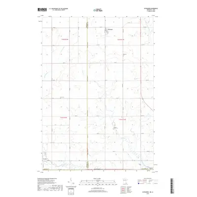
 - 2010 Map of Ostrander, 2010 Print
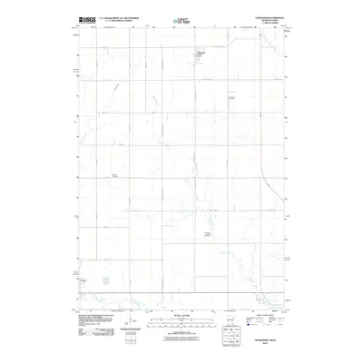 2010 Ostrander2010 Print · USGSCovers Chester, including Le Roy, Ostrander, and other nearby areas
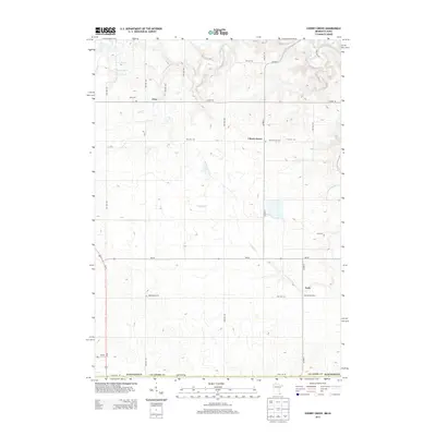
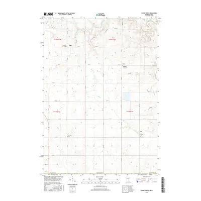
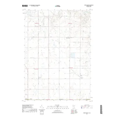
 - 2010 Map of Cherry Grove, 2010 Print
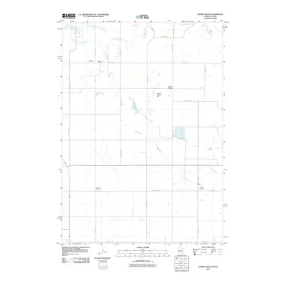 2010 Cherry Grove2010 Print · USGSCovers Chester, including York, Cherry Grove, and other nearby areas
 - 2013 Map of Lime Springs NW, 2013 Print
 2013 Lime Springs NW2013 Print · USGSCovers Chester, including Howard County, United States, and other nearby areas
 - 2013 Map of Lime Springs, 2013 Print
 2013 Lime Springs2013 Print · USGSCovers Chester, including Lime Springs, Lidtke Mill, and other nearby areas
 - 2013 Map of Cherry Grove, 2013 Print
 2013 Cherry Grove2013 Print · USGSCovers Chester, including York, Cherry Grove, and other nearby areas
 - 2013 Map of Ostrander, 2013 Print
 2013 Ostrander2013 Print · USGSCovers Chester, including Le Roy, Ostrander, and other nearby areas
 - 2015 Map of Lime Springs, 2015 Print
 2015 Lime Springs2015 Print · USGSCovers Chester, including Lime Springs, Lidtke Mill, and other nearby areas
 - 2015 Map of Lime Springs NW, 2015 Print
 2015 Lime Springs NW2015 Print · USGSCovers Chester, including Howard County, United States, and other nearby areas
 - 2016 Map of Cherry Grove, 2016 Print
 2016 Cherry Grove2016 Print · USGSCovers Chester, including York, Cherry Grove, and other nearby areas
 - 2016 Map of Ostrander, 2016 Print
 2016 Ostrander2016 Print · USGSCovers Chester, including Le Roy, Ostrander, and other nearby areas
 - 2018 Map of Lime Springs, 2018 Print
 2018 Lime Springs2018 Print · USGSCovers Chester, including Lime Springs, Lidtke Mill, and other nearby areas
 - 2018 Map of Lime Springs NW, 2018 Print
 2018 Lime Springs NW2018 Print · USGSCovers Chester, including Howard County, United States, and other nearby areas
 - 2019 Map of Cherry Grove, 2019 Print
 2019 Cherry Grove2019 Print · USGSCovers Chester, including York, Cherry Grove, and other nearby areas
 - 2019 Map of Ostrander, 2019 Print
 2019 Ostrander2019 Print · USGSCovers Chester, including Le Roy, Ostrander, and other nearby areas
 - 2022 Map of Ostrander, 2022 Print
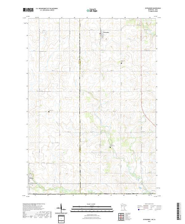 2022 Ostrander2022 Print · USGSThe Minnesota-Iowa state line defines this rural landscape at the turn of the 2020s, where the towns of Ostrander and Chester sit among the headwaters of the Upper Iowa River. Local researchers can trace family roots through sites like Bloomfield Cem and Bethany Cem.
 - 2022 Map of Lime Springs NW, 2022 Print
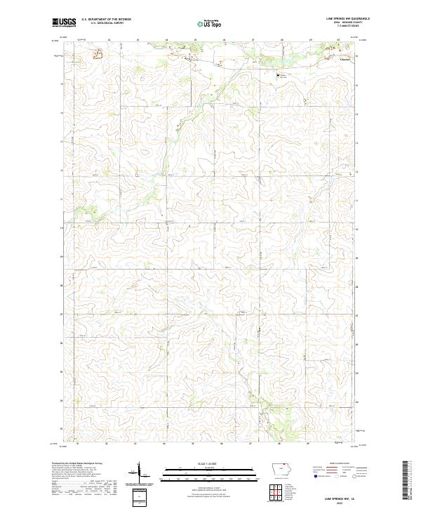 2022 Lime Springs NW2022 Print · USGSUpper Iowa farm country comes into focus in this recent survey of Howard County. Researchers can trace rural property lines and landmarks like Chester Hill Cem or follow the paths of Beaver Cr and Staff Cr through the northern townships.
 - 2022 Map of Lime Springs, 2022 Print
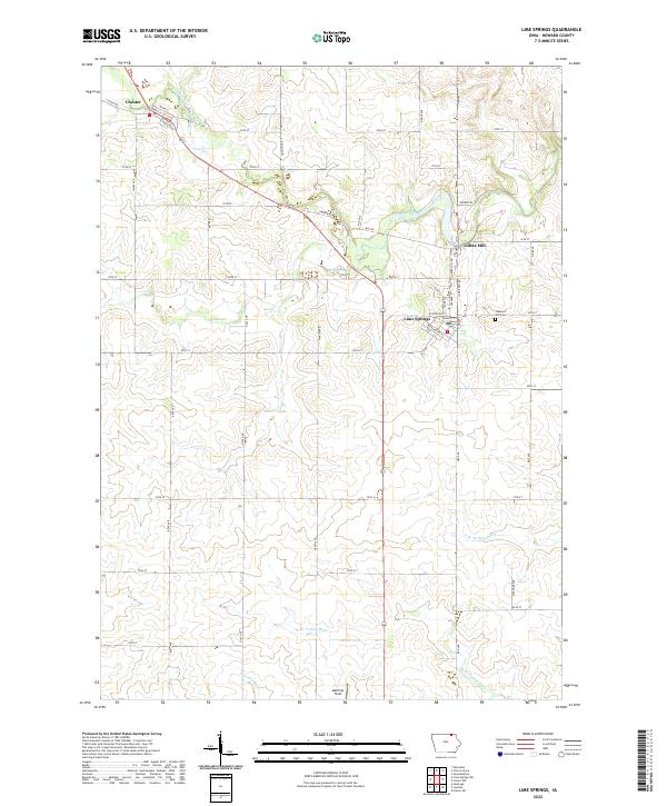 2022 Lime Springs2022 Print · USGSNorthern Howard County is defined by the winding Upper Iowa River and the rural communities that grew along its banks. Researchers can trace the local heritage of Lime Springs and Chester while identifying sites like Lidtke Mill and Pleasant Hill Cem.
 - 2023 Map of Cherry Grove, 2023 Print
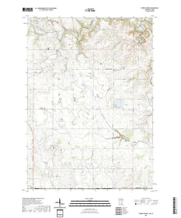 2023 Cherry Grove2023 Print · USGSFillmore County, Minnesota, is captured here in the early 2020s, showing a rural landscape shaped by the South Branch Root River. Local historians can locate ancestral sites at Etna Cem and Bethlehem Cem or trace the creek-side roads near York.
End of results
Showing maps 1-20 of 20
Top cities near Chester
- Cresco historical maps
- Spring Valley historical maps
- Grand Meadow historical maps
- Le Roy historical maps
- Riceville historical maps
- Bristol historical maps
See more
Frequently asked questions
- What are the different types of historical maps available for Chester?
- What is the oldest map of Chester?
- Where can I purchase historical maps of Chester for my home or office?
- Where can I download high-res historical maps of Chester?
- Are there historical topographic maps available for Chester?
- Is there historical aerial imagery available for Chester?
- Where are historical maps of Chester sourced from?