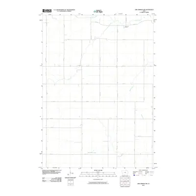
2010 Map of Lime Springs NW
USGS Topo · Published 2010About this map
The Upper Iowa River winds through the northern portion of this Howard County landscape, defining a terrain shaped by riparian corridors and traditional agricultural grids. This 2010 survey illustrates the sparse, rural settlement pattern of the region just northwest of Lime Springs, where the land is largely organized by a network of lettered avenues like Dale Ave and Garden Ave. In the northeast corner, Chester Hill Cemetery sits near River Rd, serving as a significant point of interest for local genealogy and history. The southern reaches of the quadrangle are marked by the Wirrenbreer marsh, a distinct wetland feature that contrasts with the surrounding agricultural plots. Additional drainage for these fields is provided by Staff Creek and Beaver Creek, which cut across the structured road system of named streets and avenues.
Find a feature on this map
25 named features on this map. Tap any name to fly to it.
Don’t see what you’re looking for? This feature index may not catch every label — zoom into the map to look around manually.
Map Details
Editions of this 2010 Lime Springs NW Map
This is the sole edition of this map. No revisions or reprints were ever made.
Other maps of this area

1954 · Mason City
USGS Topo · 1:250,000

1957 · Mason City
USGS Topo · 1:250,000

1958 · Mason City
USGS Topo · 1:250,000

1965 · Le Roy
USGS Topo · 1:24,000

1965 · Ostrander
USGS Topo · 1:24,000

1965 · Cherry Grove
USGS Topo · 1:24,000

1972 · Mc Intire
USGS Topo · 1:24,000

1972 · Riceville
USGS Topo · 1:24,000

1981 · Lourdes
USGS Topo · 1:24,000

1981 · Lime Springs
USGS Topo · 1:24,000