2010s Maps of Lee County, Iowa
Explore 71 historic maps of Lee County from the 2010s. These maps offer a rare glimpse into what life looked like during the 2010s — showing old roads, neighborhoods, homes, and landmarks that have changed or disappeared over time.
Whether you're researching your family's past, planning a metal detecting trip, or studying how Lee County's landscape evolved across the 2010s, these high-resolution maps are a powerful tool for exploring the history of this region.
- Focus on a specific era: All maps on this page are from the 2010s, giving you a focused view of this time period.
- See what’s changed: Compare century-old streets, trails, and buildings to today's modern landscape using overlays and satellite layers.
- Research with precision: Use these maps for genealogy, historical research, land use analysis, or educational projects.
- View, download, or print: Maps are fully viewable online in high resolution, and can be downloaded or printed for your own records.
Start exploring Lee County's history through authentic maps from the 2010s. This is your window into the past.
Lee County, IA maps
(71)- 2010 Map of West Point, 2010 Print
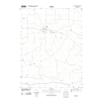 2010 West Point2010 Print · USGSSoutheast Iowa farm country is captured here in the early twenty-first century, centered on the community of West Point. Genealogists and local historians can trace family roots through a dense network of burial sites, including Pitman Chapel Cemetery, Saint Peters Cemetery, and Wilson Cemetery.
 - 2010 Map of Donnellson, 2010 Print
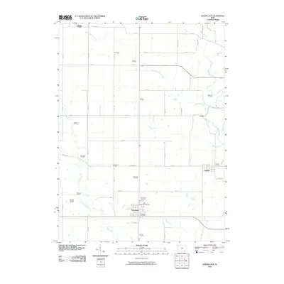 2010 Donnellson2010 Print · USGSLee County farm country comes into focus in this modern era, centered on the community of Donnellson and its regional fairgrounds. Local historians can trace family ties through over a dozen named sites including McCulloch Cemetery, Hoover Cemetery, and Franklin.
 - 2010 Map of Niota, 2010 Print
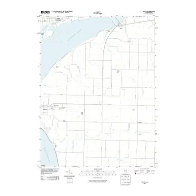 2010 Niota2010 Print · USGSThe riverfront and rural uplands of Hancock County are captured here in the early twenty-first century, showing the enduring link between Fort Madison and Niota. Genealogists can trace several significant burial sites including Pioneer Saints Cemetery, Appanoose Cemetery, and Thornber Cemetery.
 - 2010 Map of Wayland, 2010 Print
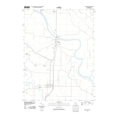 2010 Wayland2010 Print · USGSNortheast Missouri at the start of the 2010s shows a landscape deeply tied to the winding Des Moines River. Researchers can trace local lineage at Oak Hill Cemetery or locate old industrial sites like Moores Mill and the Saint Francisville Bridge.
 - 2010 Map of Salem, 2010 Print
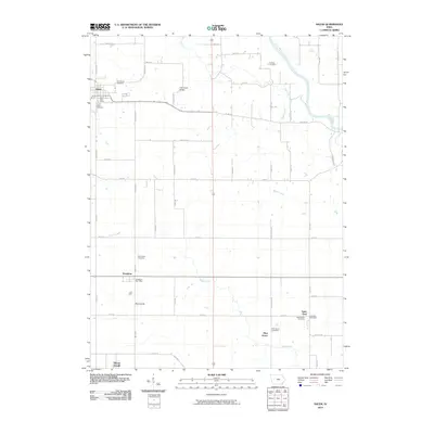 2010 Salem2010 Print · USGSSoutheast Iowa’s agricultural heartland is documented here in the early twenty-first century, showing the enduring layout of rural town centers and farmsteads. Genealogists can trace family landmarks across the landscape, from Salem to Saint James Cemetery and Houghton.
 - 2010 Map of Danville, 2010 Print
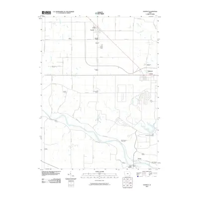 2010 Danville2010 Print · USGSDes Moines County enters the second decade of the millennium with a landscape defined by the winding Skunk River and historic rural farmsteads. Researchers can trace family history through a remarkable concentration of local burial sites, including Jaggar Cemetery, Renner Farm Cemetery, and Creamer Cemetery.
 - 2010 Map of Argyle, 2010 Print
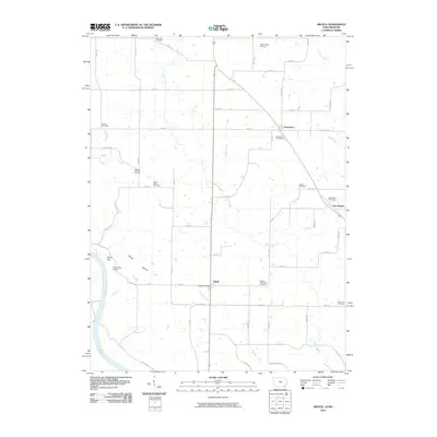 2010 Argyle2010 Print · USGSSoutheast Iowa's river borderlands come into focus in this late-career survey of the Des Moines River valley. Genealogists can locate numerous rural burial sites like Saint Marys Cemetery and Ambrosia Cemetery, or trace the old roads around Argyle and String Prairie.
 - 2010 Map of Hillsboro, 2010 Print
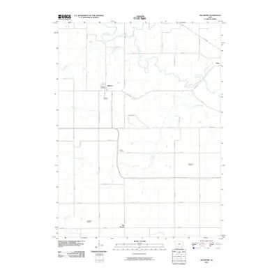 2010 Hillsboro2010 Print · USGSThe rural landscape of Henry County is captured here in the early twenty-first century, centered on the historic community of Hillsboro. Genealogists can locate family landmarks such as Wallingford Cemetery, Bayles Cemetery, and the Hillsboro Post Office.
 - 2010 Map of Farmington, 2010 Print
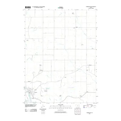 2010 Farmington2010 Print · USGSThe Des Moines River valley in Van Buren County is shown here in the early 2000s, centered on the historic river town of Farmington. Genealogists can trace family burial sites across the township, including the H Banla Grounds Cemetery and Reid Farm Cemetery.
 - 2010 Map of Lowell, 2010 Print
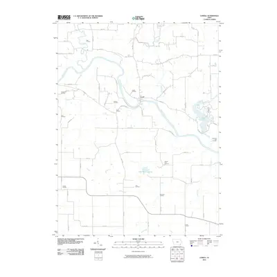 2010 Lowell2010 Print · USGSNear the banks of the Skunk River in the early twenty-first century, this part of Henry County reveals a landscape rich in pioneer-era heritage. Researchers can trace dozens of rural burial sites like Abbe Cemetery, Pickle Cemetery, and the Friends Cemetery.
 - 2010 Map of Fort Madison, 2010 Print
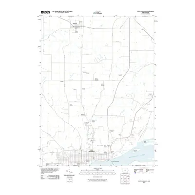 2010 Fort Madison2010 Print · USGSFort Madison sits at a prominent bend in the Mississippi River during the early twenty-first century, showing a landscape defined by institutional history and river commerce. Genealogists can trace dozens of burial sites like the Iowa State Prison Cemetery, Alley Cemetery, and Mothershed Cemetery.
 - 2010 Map of West Burlington, 2010 Print
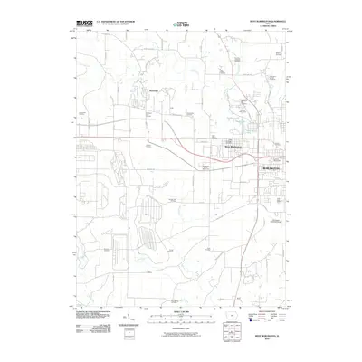 2010 West Burlington2010 Print · USGSThe outskirts of Burlington and West Burlington are captured here during a period of steady growth and suburban expansion. Genealogists can trace family roots through a remarkable number of local burial grounds, including the Mormon Cemetery, Swede Cemetery, and Rock Spring Cemetery.
 - 2010 Map of Dallas City, 2010 Print
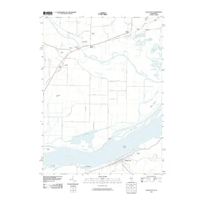 2010 Dallas City2010 Print · USGSThe riverfront border of Illinois and Iowa is captured here in the years before recent development, centered on the Mississippi River and Dallas City. Genealogists can locate several family-named burial grounds like Sourwine Cemetery and Terney Cemetery or trace the early postal routes near Wever.
 - 2010 Map of Croton, 2010 Print
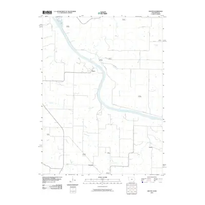 2010 Croton2010 Print · USGSThe Des Moines River valley along the Iowa-Missouri border is captured here in the early 21st century. Genealogists and local historians can trace numerous family and community burial sites, including Croton Cemetery, Salubria Cemetery, and Shaffer Cemetery.
 - 2010 Map of Nauvoo, 2010 Print
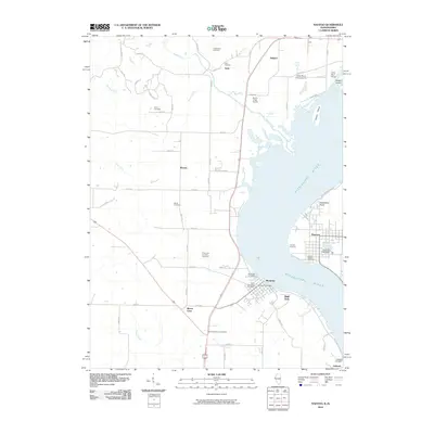 2010 Nauvoo2010 Print · USGSThe Mississippi River valley at the turn of the decade reveals a landscape of riverfront towns and historic burial sites. Genealogists can trace family names at the Half Breed Cemetery, Viele Cemetery, and the Smith Family Cemetery near Nauvoo.
 - 2010 Map of Lomax, 2010 Print
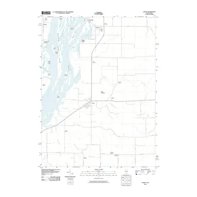 2010 Lomax2010 Print · USGSHenderson County, Illinois, sits along the Mississippi riverfront in this 2010 survey of its islands, sloughs, and agricultural villages. Genealogists can locate several family burial sites including the Talbert Family Cemetery and the Gittings Mound Cemetery near Lomax.
 - 2012 Map of Hamilton, 2012 Print
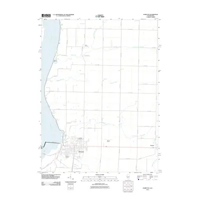 2012 Hamilton2012 Print · USGSThe Illinois-Iowa borderlands at the Mississippi River come into focus in this 2012 survey of the Hamilton and Elvaston area. Genealogists and researchers can trace local lineage at Oakwood Cemetery and Greenwood Cemetery or locate the industrial Keokuk Dam.2 unique versions available
 - 2012 Map of Keokuk, 2012 Print
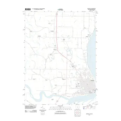 2012 Keokuk2012 Print · USGSThe confluence of the Mississippi and Des Moines rivers defines this corner of Iowa in the early 2010s. Local history researchers can trace the city of Keokuk, the Keokuk National Cemetery, and smaller sites like the Oiler Family Cemetery.
 - 2012 Map of Wayland, 2012 Print
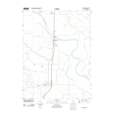 2012 Wayland2012 Print · USGSWayland and the river valleys of Clark County are captured here in the early twenty-first century. Genealogists and researchers can trace local family landmarks and rural infrastructure including Oakland Cemetery, Moores Mill, and the Saint Francisville Bridge.
 - 2012 Map of Dallas City, 2012 Print
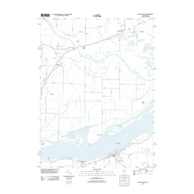 2012 Dallas City2012 Print · USGSThe Mississippi and Skunk Rivers meet in this early 21st-century survey of the Illinois and Iowa borderlands. Researchers can locate numerous family burial sites like Beebe Cem and Sourwine Cem or trace the riverfront streets of Dallas City and Pontoosuc.
 - 2012 Map of Lomax, 2012 Print
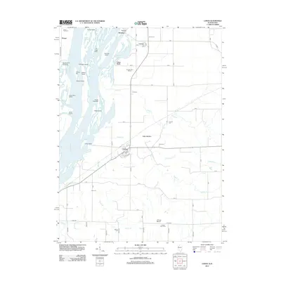 2012 Lomax2012 Print · USGSThe Mississippi riverfront near the Illinois-Iowa border comes to life in this survey of the river's islands, sloughs, and settlements. Genealogists can trace family names and locations at Carman, Lomax, and the Talbert Family Cem.
 - 2012 Map of Nauvoo, 2012 Print
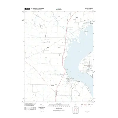 2012 Nauvoo2012 Print · USGSThe riverfront communities of Nauvoo and Montrose are captured here in the early twenty-first century as they border the Mississippi River. Genealogists can locate numerous historic burial sites, including Half Breed Cem, Saint Barnabas Cem, and Smith Family Cem.
 - 2012 Map of Niota, 2012 Print
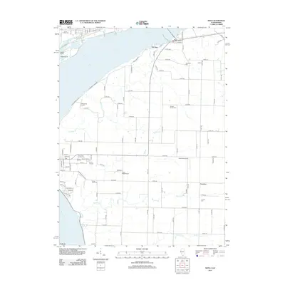 2012 Niota2012 Print · USGSLife along the Upper Mississippi is captured here in the early twenty-first century, showing the ferry and rail crossroads of Niota and Old Niota. Genealogists can trace family heritage across numerous local sites like Thornber Cem and Saints Peter and Paul Cem.
 - 2013 Map of Croton, 2013 Print
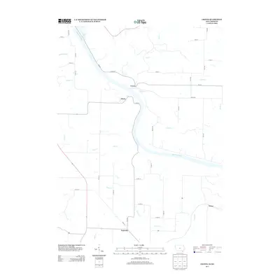 2013 Croton2013 Print · USGSThe Iowa-Missouri border comes into focus in this early twenty-first-century survey of the Des Moines River valley. Genealogists and local historians can trace the rural landscape surrounding Croton, Athens, and the settlement of Peaksville.
 - 2013 Map of West Point, 2013 Print
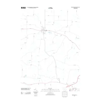 2013 West Point2013 Print · USGSSoutheast Iowa in the early twenty-first century is defined by its deep creek valleys and the orderly streets of West Point. Local historians and researchers can trace the rural landscape near Diamond B Raceway or locate sites along Devils Cr and Wilson Lake.
Showing maps 1-25 of 71
Top cities of Lee County
- Fort Madison historical maps
- Keokuk historical maps
- West Point historical maps
- Donnellson historical maps
- Montrose historical maps
- Denmark historical maps
See more
Frequently asked questions
- What are the different types of historical maps available for Lee County?
- What is the oldest map of Lee County?
- Where can I purchase historical maps of Lee County for my home or office?
- Where can I download high-res historical maps of Lee County?
- Are there historical topographic maps available for Lee County?
- Is there historical aerial imagery available for Lee County?
- Where are historical maps of Lee County sourced from?