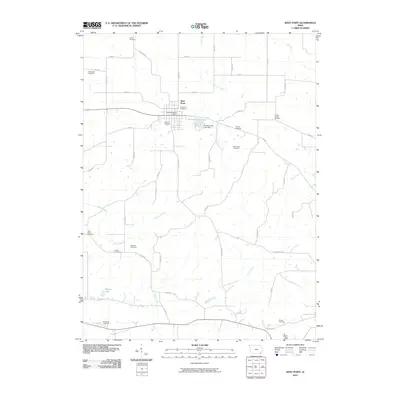
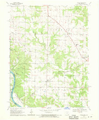
2010 Map of West Point
USGS Topo · Published 2010About this map
West Point serves as the central hub of this Lee County landscape, where the street grid and the West Point Post Office anchor a rural community defined by its creeks and burial grounds. The geography is characterized by numerous small, family and community cemeteries such as Creel Cemetery, Goldsmith Cemetery, and Van Hyning Cemetery, which are scattered among the agricultural plots. These sites, along with larger grounds like Calvary Cemetery, offer significant points of interest for genealogical research in southeastern Iowa. Water features define the drainage patterns of the area, most notably Sugar Creek and Pitman Creek. Recreation and infrastructure meet at Pollimer Park, where the Pollimer Park Lake Dam creates Pollimer Park Lake, providing a local contrast to the surrounding farm fields and winding country roads like St Paul Rd.
Find a feature on this map
51 named features on this map. Tap any name to fly to it.
Don’t see what you’re looking for? This feature index may not catch every label — zoom into the map to look around manually.
Map Details
Editions of this 2010 West Point Map
This is the sole edition of this map. No revisions or reprints were ever made.
Other maps of this area

1936 · Fort Madison
USGS Topo · 1:62,500

1958 · Burlington
USGS Topo · 1:250,000

1961 · Burlington
USGS Topo · 1:250,000

1963 · Burlington
USGS Topo · 1:250,000
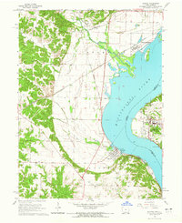
1964 · Nauvoo
USGS Topo · 1:24,000

1964 · West Point
USGS Topo · 1:24,000
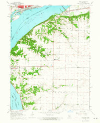
1964 · Niota
USGS Topo · 1:24,000
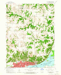
1964 · Fort Madison
USGS Topo · 1:24,000
1968 · Argyle
USGS Topo · 1:24,000

1968 · Donnellson
USGS Topo · 1:24,000