Old Maps of Mitchell, Iowa for Hiking & Exploration
Hike through history with 16 historic maps of Mitchell. Explore old trails, ghost towns, and forgotten backroads — perfect for outdoor adventurers and local explorers.
- Rediscover forgotten places: Map out old mining camps, roads, and footpaths that no longer exist on modern maps.
- Layer with modern tools: Combine with LiDAR or satellite views to plan hikes through historical terrain.
- Made for exploration: Popular among hikers, overlanders, and local history lovers.
Use these maps to find adventure and explore the hidden past of Mitchell.
Mitchell, IA maps
(16)- 1954 Map of Mason City, 1967 Print
 1954 Mason City1967 Print · USGSSouthern Minnesota and northern Iowa are shown here at the height of the mid-century rail era, centered on the regional hubs of Mason City and Rochester. Researchers can trace the vanished paths of the Chicago Great Western and find local landmarks like Pilot Knob and Bear Lake.2 unique versions available
 - 1957 Map of Mason City
 1957 Mason City1957 Print · USGSThe Minnesota-Iowa border region comes alive in this mid-century survey, from the industrial plants of Mason City to the medical hub of Rochester. Researchers can trace the rail-and-river economy through the Chicago Great Western Railway and the Shell Rock River.
 - 1958 Map of Mason City
 1958 Mason City1958 Print · USGSSouthern Minnesota and northern Iowa are shown during the mid-fifties when railroads still anchored the regional economy. Genealogists and historians can trace the intricate rail networks of the Illinois Central and find local landmarks in Mason City, Albert Lea, and Austin.
 - 1972 Map of Osage, 1974 Print
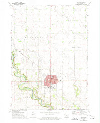 1972 Osage1974 Print · USGSMitchell County in the early seventies centers on the bustling seat of Osage and the banks of the Cedar River. Genealogists and local historians can trace the foundations of the community through Sacred Heart Church, Oak Grove Cemetery, and the Old Grade Railroad.
 - 1972 Map of Osage SW, 1974 Print
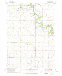 1972 Osage SW1974 Print · USGSMitchell County in the early seventies shows a landscape defined by the winding Cedar River and its rail connections. Genealogists can locate several local burial grounds including Brakestad Cem and St Johns Cem, alongside the historic settlement at St Ansgar.
 - 1985 Map of Charles City
 1985 Charles City1985 Print · USGSNorthern Iowa and the Minnesota borderlands are mapped here in the mid-1980s as a thriving network of rail-side towns and river valleys. Trace local history through the Reilly Settlement, Stacyville Junction, and aviation sites like Ellen Church Field.2 unique versions available
 - 2010 Map of Osage, 2010 Print
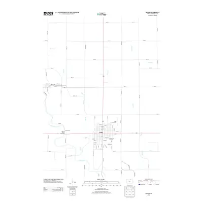
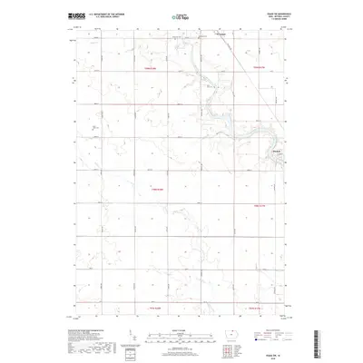
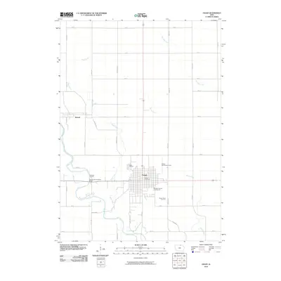 2010 Osage2010 Print · USGSCovers Mitchell, including Osage, Mitchell County, and other nearby areas
 - 2010 Map of Osage SW, 2010 Print
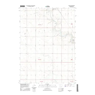
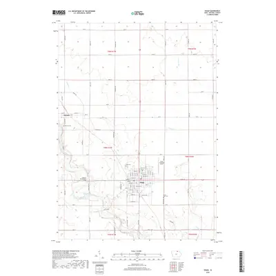
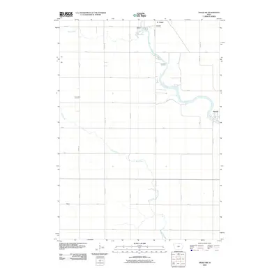 2010 Osage SW2010 Print · USGSCovers Mitchell, including Saint Ansgar, Dixie, and other nearby areas
 - 2013 Map of Osage, 2013 Print
 2013 Osage2013 Print · USGSCovers Mitchell, including Osage, Mitchell County, and other nearby areas
 - 2013 Map of Osage SW, 2013 Print
 2013 Osage SW2013 Print · USGSCovers Mitchell, including Saint Ansgar, Dixie, and other nearby areas
 - 2015 Map of Osage SW, 2015 Print
 2015 Osage SW2015 Print · USGSCovers Mitchell, including Saint Ansgar, Dixie, and other nearby areas
 - 2015 Map of Osage, 2015 Print
 2015 Osage2015 Print · USGSCovers Mitchell, including Osage, Mitchell County, and other nearby areas
 - 2018 Map of Osage SW, 2018 Print
 2018 Osage SW2018 Print · USGSCovers Mitchell, including Saint Ansgar, Dixie, and other nearby areas
 - 2018 Map of Osage, 2018 Print
 2018 Osage2018 Print · USGSCovers Mitchell, including Osage, Mitchell County, and other nearby areas
 - 2022 Map of Osage SW, 2022 Print
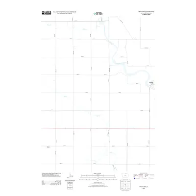
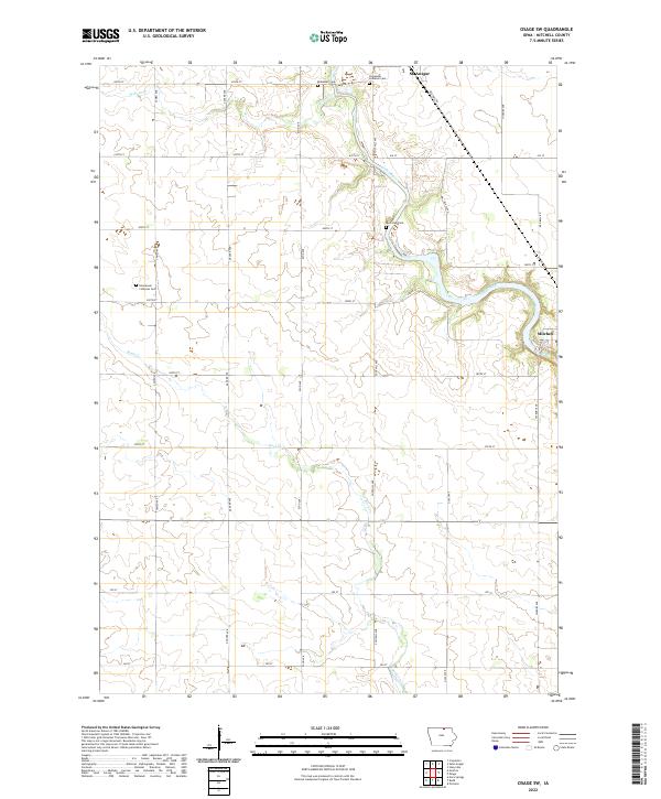 2022 Osage SW2022 Print · USGSThe Cedar River valley in Mitchell County is documented here during the early 2020s, showing a landscape defined by riverside settlements and rural heritage. Genealogists can locate several local burial sites, including Riverview Cem near Mitchell and the Immanuel Lutheran Cem.
 - 2022 Map of Osage, 2022 Print
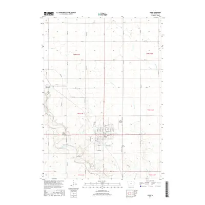
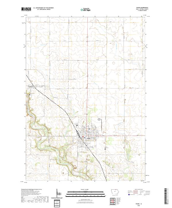 2022 Osage2022 Print · USGSMitchell County in the early 2020s shows a landscape where the Cedar River corridor and the city of Osage meet fertile Iowa farmland. Researchers can trace the civic layout of the county seat, find local landmarks like the Mitchell County Courthouse, and locate historic burial sites including Oak Grove Cemetery.
End of results
Showing maps 1-16 of 16
Top cities near Mitchell
- Osage historical maps
- Nora Springs historical maps
- Saint Ansgar historical maps
- Lyle historical maps
- Stacyville historical maps
- Rudd historical maps
See more
Frequently asked questions
- What are the different types of historical maps available for Mitchell?
- What is the oldest map of Mitchell?
- Where can I purchase historical maps of Mitchell for my home or office?
- Where can I download high-res historical maps of Mitchell?
- Are there historical topographic maps available for Mitchell?
- Is there historical aerial imagery available for Mitchell?
- Where are historical maps of Mitchell sourced from?