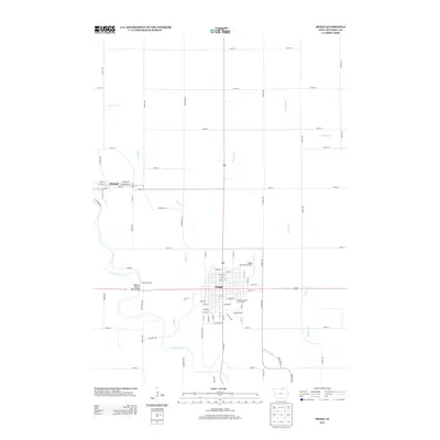
2013 Map of Osage
USGS Topo · Published 2013About this map
The Cedar River winds through the southwestern corner of this Mitchell County landscape, a key geographic feature that likely influenced the early development of Osage and the smaller settlement of Mitchell to the northwest. This modern survey illustrates the established grid of the county seat, where the Mitchell County Fairgrounds and Osage Municipal Airport occupy the town’s eastern and northern fringes. The rural surroundings are defined by a network of agricultural roads and several watercourses, including Sugar Cr, Spring Cr, and Burr Oak Cr, which drain into the main river valley. Notable local landmarks such as Bennett Access and the Highway Number Nine Bridge highlight where transportation and recreation meet the river. The presence of Red Ball Rd and Lime Kiln Rd hints at the area’s historic transit routes and early industrial activities.
Find a feature on this map
72 named features on this map. Tap any name to fly to it.
Don’t see what you’re looking for? This feature index may not catch every label — zoom into the map to look around manually.
Map Details
Editions of this 2013 Osage Map
This is the sole edition of this map. No revisions or reprints were ever made.
Other maps of this area

1954 · Mason City
USGS Topo · 1:250,000

1957 · Mason City
USGS Topo · 1:250,000

1958 · Mason City
USGS Topo · 1:250,000
1971 · Orchard
USGS Topo · 1:24,000
1971 · Rudd
USGS Topo · 1:24,000
1971 · Floyd
USGS Topo · 1:24,000
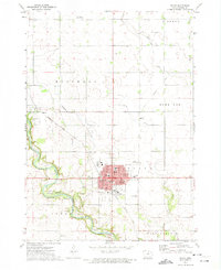
1972 · Osage
USGS Topo · 1:24,000
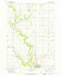
1972 · St. Ansgar
USGS Topo · 1:24,000
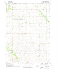
1972 · Little Cedar
USGS Topo · 1:24,000
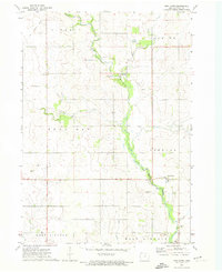
1972 · New Haven
USGS Topo · 1:24,000