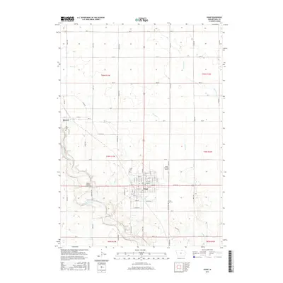
2015 Map of Osage
USGS Topo · Published 2015About this map
Osage serves as the focal point of this Mitchell County landscape, situated where the grid of the Iowa prairie meets the winding course of the Cedar River. The settlement pattern reflects a deeply organized agricultural heritage, with town streets like Main St and State St anchoring the community. On the western edge, the smaller settlement of Mitchell is positioned near the riverbanks, accompanied by the Oak Grove Cem.
Find a feature on this map
59 named features on this map. Tap any name to fly to it.
Don’t see what you’re looking for? This feature index may not catch every label — zoom into the map to look around manually.
Map Details
Editions of this 2015 Osage Map
This is the sole edition of this map. No revisions or reprints were ever made.
Other maps of this area

1954 · Mason City
USGS Topo · 1:250,000

1957 · Mason City
USGS Topo · 1:250,000

1958 · Mason City
USGS Topo · 1:250,000
1971 · Orchard
USGS Topo · 1:24,000
1971 · Rudd
USGS Topo · 1:24,000
1971 · Floyd
USGS Topo · 1:24,000
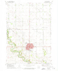
1972 · Osage
USGS Topo · 1:24,000
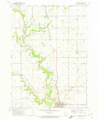
1972 · St. Ansgar
USGS Topo · 1:24,000
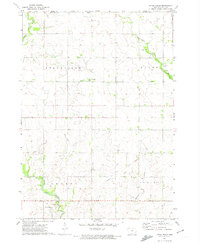
1972 · Little Cedar
USGS Topo · 1:24,000
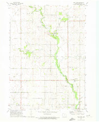
1972 · New Haven
USGS Topo · 1:24,000