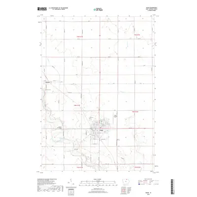
2018 Map of Osage
USGS Topo · Published 2018About this map
The Cedar River carves a winding path through the heart of Mitchell County, defining the western approaches to the city of Osage and the neighboring settlement of Mitchell. This area of north-central Iowa is characterized by its organized grid of agricultural roads, including Red Ball Rd and Kirkwood Ave, which connect the outlying farmsteads to the municipal center. The city of Osage itself is shown in detail, with its residential streets like Chase St and Pleasant St surrounding a dense core.
Find a feature on this map
61 named features on this map. Tap any name to fly to it.
Don’t see what you’re looking for? This feature index may not catch every label — zoom into the map to look around manually.
Map Details
Editions of this 2018 Osage Map
This is the sole edition of this map. No revisions or reprints were ever made.
Other maps of this area

1954 · Mason City
USGS Topo · 1:250,000

1957 · Mason City
USGS Topo · 1:250,000

1958 · Mason City
USGS Topo · 1:250,000
1971 · Orchard
USGS Topo · 1:24,000
1971 · Rudd
USGS Topo · 1:24,000
1971 · Floyd
USGS Topo · 1:24,000
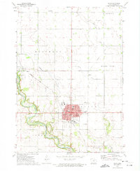
1972 · Osage
USGS Topo · 1:24,000
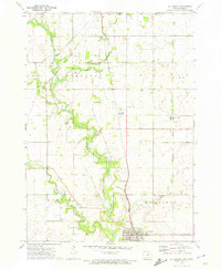
1972 · St. Ansgar
USGS Topo · 1:24,000
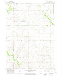
1972 · Little Cedar
USGS Topo · 1:24,000
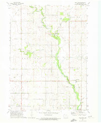
1972 · New Haven
USGS Topo · 1:24,000