2010s Maps of Sac County, Iowa
Explore 84 historic maps of Sac County from the 2010s. These maps offer a rare glimpse into what life looked like during the 2010s — showing old roads, neighborhoods, homes, and landmarks that have changed or disappeared over time.
Whether you're researching your family's past, planning a metal detecting trip, or studying how Sac County's landscape evolved across the 2010s, these high-resolution maps are a powerful tool for exploring the history of this region.
- Focus on a specific era: All maps on this page are from the 2010s, giving you a focused view of this time period.
- See what’s changed: Compare century-old streets, trails, and buildings to today's modern landscape using overlays and satellite layers.
- Research with precision: Use these maps for genealogy, historical research, land use analysis, or educational projects.
- View, download, or print: Maps are fully viewable online in high resolution, and can be downloaded or printed for your own records.
Start exploring Sac County's history through authentic maps from the 2010s. This is your window into the past.
Sac County, IA maps
(84)- 2010 Map of Schaller South, 2010 Print
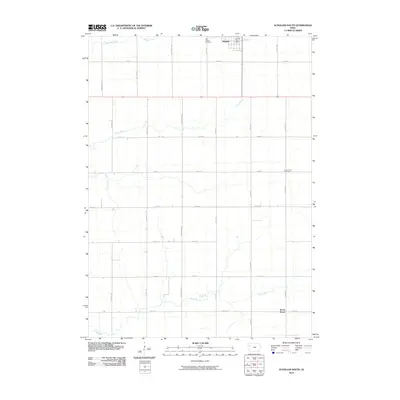 2010 Schaller South2010 Print · USGSSchaller and the surrounding Sac County farmland are captured in the early twenty-first century, showing a landscape of precise section-line roads and prairie streams. Researchers can locate Saint Joseph Cemetery, trace the path of Silver Creek, or find the Schaller Post Office.
 - 2010 Map of Yetter, 2010 Print
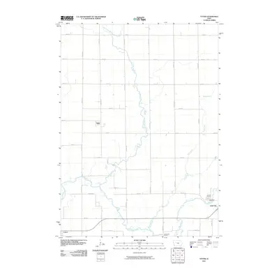 2010 Yetter2010 Print · USGSLake City and the surrounding Calhoun County farmland are documented here during the early twenty-first century. Researchers can trace family sites near Lake City Cemetery or follow the drainage of Camp Creek and the North Raccoon River.
 - 2010 Map of Lytton, 2010 Print
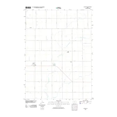 2010 Lytton2010 Print · USGSLytton and the surrounding Iowa farmland are documented here just after the first decade of the millennium. Local historians and genealogists can trace family roots through the Saint John Cemetery, Garfield Cemetery, and the Lytton Post Office.
 - 2010 Map of Early, 2010 Print
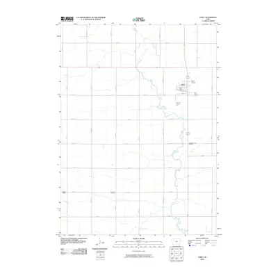 2010 Early2010 Print · USGSThe community of Early and the surrounding Sac County farmland are documented here during the first decade of the millennium. Genealogists can trace family records across several local sites, including Sacred Heart Cemetery, Early Union Cemetery, and the Early Post Office.
 - 2010 Map of Ida Grove NW, 2010 Print
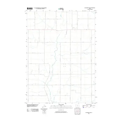 2010 Ida Grove NW2010 Print · USGSSac County farmland is mapped here in the early twenty-first century, showing the enduring agricultural grid. Researchers can trace rural property access and drainage patterns along Maple River and crossroads like Indian Ave and 200th St.
 - 2010 Map of Kiron, 2010 Print
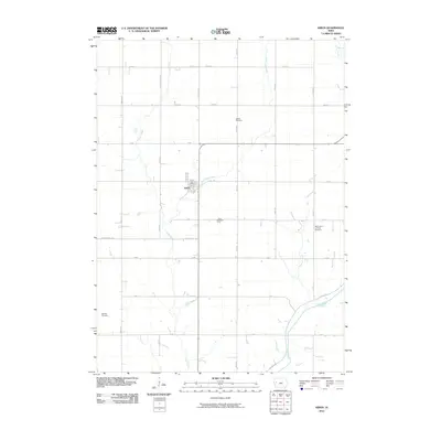 2010 Kiron2010 Print · USGSCrawford County's rural townships are documented here during the first decade of the 2000s, showcasing a landscape of section lines and stream-fed valleys. Genealogists can locate family burial sites at Bethel Cemetery, Saint Johns Lutheran Cemetery, and Lohfeld Cemetery.
 - 2010 Map of Newell East, 2010 Print
 2010 Newell East2010 Print · USGSSettlement around Newell is defined by a vast agricultural grid in the early twenty-first century. Researchers can trace ancestral lands near Cooke Cemetery, First M E Church Cemetery, and the winding banks of Prairie Creek.
 - 2010 Map of Boyer, 2010 Print
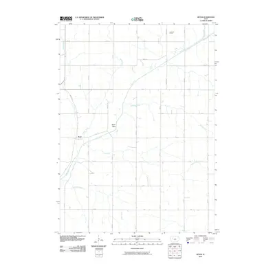 2010 Boyer2010 Print · USGSBoyer and the surrounding Crawford County farmland are captured in the early twenty-first century, showcasing a landscape shaped by the Boyer River. Researchers can locate the historic Tom Marks Cemetery and trace the paths of Porter Creek and Wheeler Creek.
 - 2010 Map of Lake View, 2010 Print
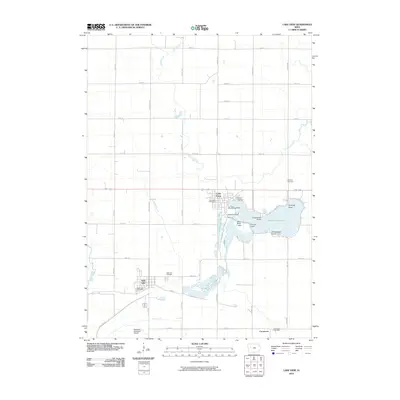 2010 Lake View2010 Print · USGSSac County at the dawn of the 2010s shows a landscape centered on the waters of Black Hawk Lake and the nearby communities of Lake View and Wall Lake. Researchers can trace local burial sites at Ferguson Cemetery and explore landmarks like Ice House Point and Carnarvon.
 - 2010 Map of Odebolt West, 2010 Print
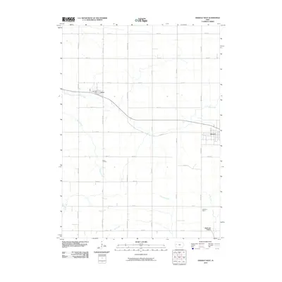 2010 Odebolt West2010 Print · USGSSac County at the dawn of the millennium shows a landscape of highly organized agriculture and quiet prairie townships. Genealogists and local historians can trace family land near Hayes Cemetery and the rural community hubs of Arthur and Odebolt.
 - 2010 Map of Sac City East, 2010 Print
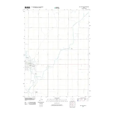 2010 Sac City East2010 Print · USGSSac City and the surrounding Iowa prairie are captured here at the start of the new millennium, centered on the fertile North Raccoon River valley. Genealogists and local historians can locate Oakland Cemetery, the Sac County Fairgrounds, and the rural Cedar Cemetery.
 - 2010 Map of Grant City, 2010 Print
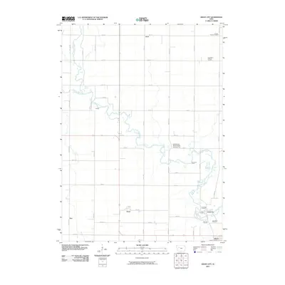 2010 Grant City2010 Print · USGSSac County at the start of the 2010s shows a landscape of enduring rural settlements and cemeteries along the North Raccoon River. Genealogists and local historians can trace family roots at Lutheran Emanuel Cemetery, Saint Marys Cemetery, or the vanished hamlet of Pettis.
 - 2010 Map of Odebolt East, 2010 Print
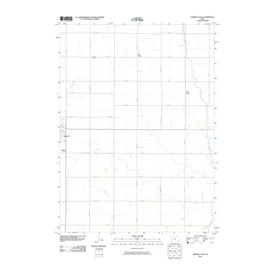 2010 Odebolt East2010 Print · USGSSac County's fertile plains are captured here in the mid-2000s, showing a well-ordered landscape of section roads and small-town life. Researchers can locate early family burial sites like Richland Cemetery and Salem Reform Cemetery or trace the path of the Boyer River.
 - 2010 Map of Vail NE, 2010 Print
 2010 Vail NE2010 Print · USGSCarroll County farm country is captured here during the first decade of the new millennium, showing a landscape shaped by both agriculture and genealogy. Local historians can trace family ties at Emmanuel Cemetery, Wheatland Cemetery, and the Lawler Landing Strip.
 - 2010 Map of Sac City West, 2010 Print
 2010 Sac City West2010 Print · USGSThe rural outskirts of Sac City come into focus in the early twenty-first century, showing the transition from town to prairie farm. Genealogists and historians can trace family land along Mace Ave and Otter Ave or explore the wetlands of Kiowa Marsh State Public Hunting Area.
 - 2010 Map of Breda, 2010 Print
 2010 Breda2010 Print · USGSThis western Iowa landscape in the early twenty-first century reveals a deeply rooted farming community organized by an extensive grid of country roads. Genealogists can locate family sites near Saint Bernards Cemetery, Breda, and Our Lady of Mount Carmel Cemetery.
 - 2010 Map of Carroll NE, 2010 Print
 2010 Carroll NE2010 Print · USGSIowa's agricultural heartland is documented here in the first decade of the new millennium, showing the steady layout of farmsteads and rural townships. Researchers can pinpoint historic burial sites like Cottonwood Cemetery and the hub at the Lidderdale Post Office.
 - 2010 Map of Galva, 2010 Print
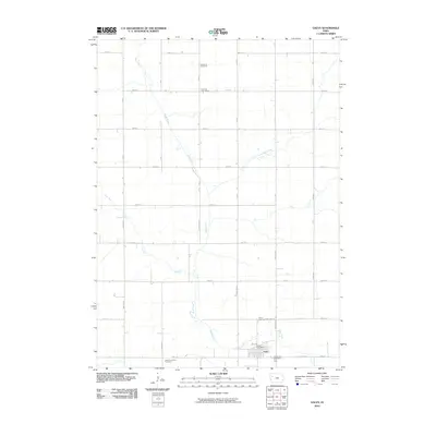 2010 Galva2010 Print · USGSNorthern Ida County agricultural life is captured here in the early 2000s, centered on the town of Galva. Genealogists and local historians can trace family locations near Diamond Cemetery or locate the Coulson Post Office amidst the section-line roads and the winding Maple River.
 - 2010 Map of Newell West, 2010 Print
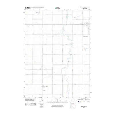 2010 Newell West2010 Print · USGSThe North Raccoon River valley and its surrounding farmsteads are shown here at the start of the 2010s. Genealogists can trace roots at the Newell Catholic Cemetery, Nemaha Cemetery, and through the rural service hubs at Sulphur Springs and Newell.
 - 2010 Map of Lakeside, 2010 Print
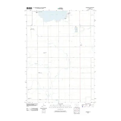 2010 Lakeside2010 Print · USGSThe southern shores of Storm Lake and the organized streets of Lakeside are captured here as they appeared in 2010. Genealogists and local historians can trace the precise development of the lakeside community and the surrounding rural road network.
 - 2010 Map of Schaller North, 2010 Print
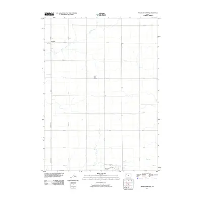 2010 Schaller North2010 Print · USGSSchaller and the surrounding Sac County farmsteads are captured here during the first decade of the millennium. Researchers can locate family heritage sites including Saint John's Lutheran Cemetery, Maple Valley Cemetery, and the small settlement at Hanover.
 - 2013 Map of Breda, 2013 Print
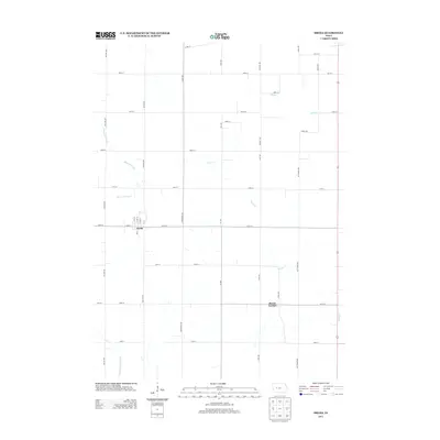 2013 Breda2013 Print · USGSBreda and the surrounding Carroll County countryside are captured here in the early twenty-first century, showing the enduring grid of Iowa's agricultural heartland. Genealogists and local historians can trace family land proximity to Breda, Mount Carmel, and water landmarks like the Middle Raccoon River or Wall Lake Inlet.
 - 2013 Map of Sac City East, 2013 Print
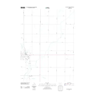 2013 Sac City East2013 Print · USGSSac City sits along the bend of the N Raccoon River during the early 2010s, showing a well-established Iowa county seat. Researchers can trace the town's footprint from the Sac County Fairgrounds to the Sac City Municipal Airport and the surrounding farm sections.
 - 2013 Map of Yetter, 2013 Print
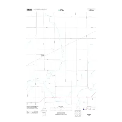 2013 Yetter2013 Print · USGSCalhoun County's rural landscape is captured here in the early twenty-first century, centered on the small community of Yetter. Researchers can trace the meandering N Raccoon River and the complex local drainage network including Lake Cr and Camp Cr.
 - 2013 Map of Vail NE, 2013 Print
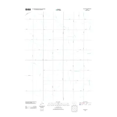 2013 Vail NE2013 Print · USGSCarroll County agriculture and water drainage systems are captured here in the early twenty-first century. Researchers can trace the rural road network and riparian corridors along the Middle Raccoon River, Lime Cr, and Wall Lake Inlet.
Showing maps 1-25 of 84
Top cities of Sac County
- Sac City historical maps
- Lake View historical maps
- Odebolt historical maps
- Wall Lake historical maps
- Schaller historical maps
- Early historical maps
See more
Frequently asked questions
- What are the different types of historical maps available for Sac County?
- What is the oldest map of Sac County?
- Where can I purchase historical maps of Sac County for my home or office?
- Where can I download high-res historical maps of Sac County?
- Are there historical topographic maps available for Sac County?
- Is there historical aerial imagery available for Sac County?
- Where are historical maps of Sac County sourced from?