Old Maps of Roland Township, Iowa for Metal Detecting
Plan your next treasure hunt with 29 historic maps of Roland Township. Find old homesites, ghost towns, trails, and gathering spots that may be lost to time — perfect for identifying promising metal detecting locations.
- Locate forgotten sites: Uncover places like long-lost settlements, abandoned rail lines, or gathering spots.
- Plan better hunts: Use map overlays combined with LiDAR or satellite views to narrow in on historically rich areas.
- Made for detectorists: Thousands of hobbyists use these maps to discover relics, coins, and hidden history.
Use these historic maps to boost your research and find new opportunities beneath the surface of Roland Township.
Roland Township, IA maps
(29)- 1954 Map of Fort Dodge, 1968 Print
 1954 Fort Dodge1968 Print · USGSNorthwest Iowa is shown here during a period of steady industrial and rail activity in the mid-fifties. Researchers can trace the extensive rail lines connecting Fort Dodge to mining and manufacturing sites like Gypsum and Industry Station.3 unique versions available
 - 1957 Map of Fort Dodge
 1957 Fort Dodge1957 Print · USGSWest-central Iowa thrived as a network of rail-linked agricultural hubs and river towns during the mid-fifties. Researchers can trace the development of the Des Moines River valley and locate historic landmarks in Fort Dodge, Storm Lake, and Lehigh.
 - 1958 Map of Fort Dodge
 1958 Fort Dodge1958 Print · USGSWestern Iowa in the mid-1950s reveals a productive landscape of river-valley industry and prairie agricultural hubs. Researchers can trace the development of the Des Moines River corridor through Fort Dodge and locate vanished local landmarks near Coalville or Storm Lake.
 - 1965 Map of Moorland, 1966 Print
 1965 Moorland1966 Print · USGSMoorland was a vital rail crossroads in the mid-1960s, where three major lines intersected amidst the fertile Iowa prairie. Researchers can trace family history at Our Lady of Good Council Cem or locate the small settlement of Roelyn and the Nepler Landing Field.
 - 1965 Map of Farnhamville, 1966 Print
 1965 Farnhamville1966 Print · USGSCalhoun and Webster counties appear in the mid-1960s as a productive agricultural engine shaped by rail lines and drainage projects. Researchers can trace family sites near Cedar Cem, the small elevator town of Slifer, or the early Old Railroad Grade.
 - 1965 Map of Knierim, 1966 Print
 1965 Knierim1966 Print · USGSCalhoun County was a bustling rail hub in the 1960s, where four major lines crossed paths near the grain elevators and farms. Genealogists and rail historians can trace the exact routes of the Illinois Central and find local landmarks like Township Cem and Trinity Ch.
 - 1965 Map of Gowrie, 1966 Print
 1965 Gowrie1966 Print · USGSGowrie and Callender are captured in the mid-1960s at the height of their importance as a tri-railroad junction. Genealogists and rail historians can trace the paths of the Chicago Rock Island and Pacific and locate local landmarks like Danish Cem and Peterson Airport.
 - 1985 Map of Carroll
 1985 Carroll1985 Print · USGSWest-Central Iowa in the mid-eighties shows a landscape of highly engineered farmland and river-valley conservation. Researchers can trace the drainage patterns of Purgatory Creek or locate local landmarks like Dolliver Memorial State Park and the rail-junction town of Gowrie.
 - 1993 Map of Carroll
 1993 Carroll1993 Print · USGSCentral Iowa's river valleys and rail corridors are captured here in the early nineties, showing a landscape shaped by the Raccoon River and Des Moines River. Genealogists can trace family connections to the many county seats, from Sac City to Jefferson, and locate rural landmarks like Pilot Mound or North Twin Lake.
 - 2010 Map of Gowrie, 2010 Print
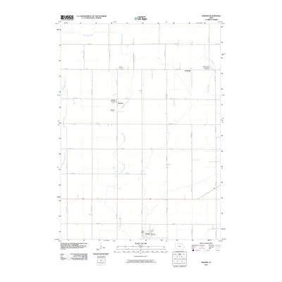
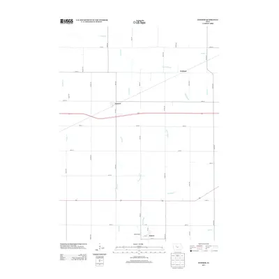
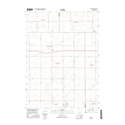
 2010 Gowrie2010 Print · USGSCovers Roland Township, including Gowrie, Callender, and other nearby areas
 - 2010 Map of Moorland, 2010 Print
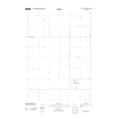
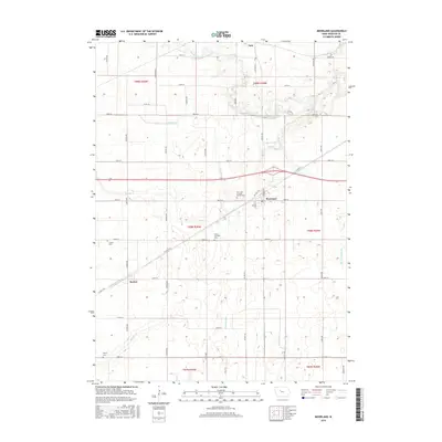
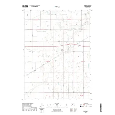
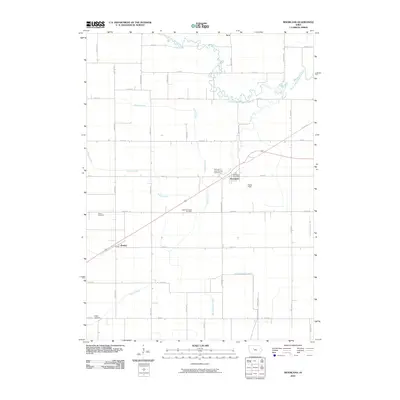 2010 Moorland2010 Print · USGSCovers Roland Township, including Moorland, Fulton Township, and other nearby areas
 - 2010 Map of Knierim, 2010 Print
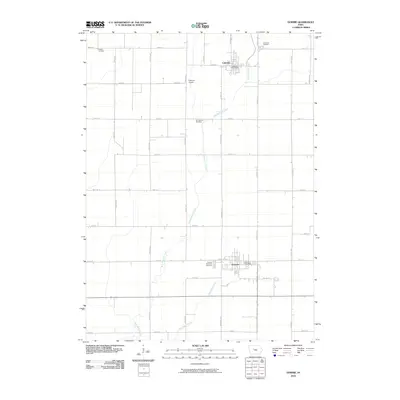
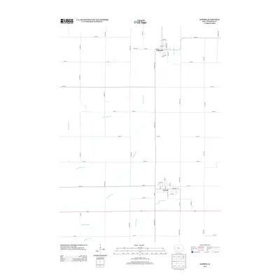
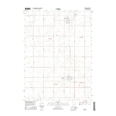
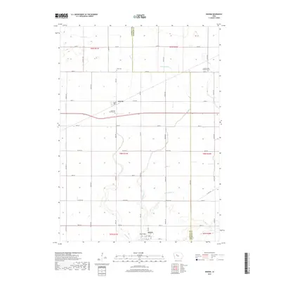
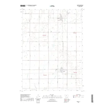
 2010 Knierim2010 Print · USGSCovers Roland Township, including Somers, Knierim, and other nearby areas
 - 2010 Map of Farnhamville, 2010 Print
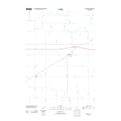
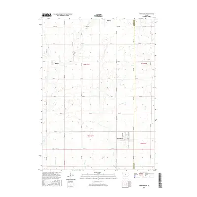
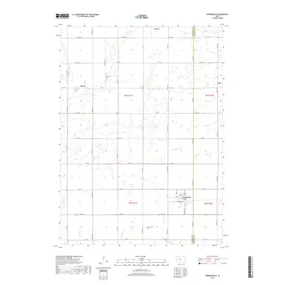
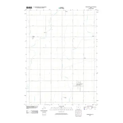 2010 Farnhamville2010 Print · USGSCovers Roland Township, including Farnhamville, Somers, and other nearby areas
 - 2013 Map of Knierim, 2013 Print
 2013 Knierim2013 Print · USGSCovers Roland Township, including Somers, Knierim, and other nearby areas
 - 2013 Map of Farnhamville, 2013 Print
 2013 Farnhamville2013 Print · USGSCovers Roland Township, including Farnhamville, Somers, and other nearby areas
 - 2013 Map of Gowrie, 2013 Print
 2013 Gowrie2013 Print · USGSCovers Roland Township, including Gowrie, Callender, and other nearby areas
 - 2013 Map of Moorland, 2013 Print
 2013 Moorland2013 Print · USGSCovers Roland Township, including Moorland, Fulton Township, and other nearby areas
 - 2015 Map of Knierim, 2015 Print
 2015 Knierim2015 Print · USGSCovers Roland Township, including Somers, Knierim, and other nearby areas
 - 2015 Map of Moorland, 2015 Print
 2015 Moorland2015 Print · USGSCovers Roland Township, including Moorland, Fulton Township, and other nearby areas
 - 2015 Map of Farnhamville, 2015 Print
 2015 Farnhamville2015 Print · USGSCovers Roland Township, including Farnhamville, Somers, and other nearby areas
 - 2015 Map of Gowrie, 2015 Print
 2015 Gowrie2015 Print · USGSCovers Roland Township, including Gowrie, Callender, and other nearby areas
 - 2018 Map of Knierim, 2018 Print
 2018 Knierim2018 Print · USGSCovers Roland Township, including Somers, Knierim, and other nearby areas
 - 2018 Map of Farnhamville, 2018 Print
 2018 Farnhamville2018 Print · USGSCovers Roland Township, including Farnhamville, Somers, and other nearby areas
 - 2018 Map of Gowrie, 2018 Print
 2018 Gowrie2018 Print · USGSCovers Roland Township, including Gowrie, Callender, and other nearby areas
 - 2018 Map of Moorland, 2018 Print
 2018 Moorland2018 Print · USGSCovers Roland Township, including Moorland, Fulton Township, and other nearby areas
Showing maps 1-25 of 29
Top cities near Roland Township
- Fort Dodge historical maps
- Manson historical maps
- Gowrie historical maps
- Coalville historical maps
- Otho historical maps
- Farnhamville historical maps
See more
Top neighborhoods of Roland Township
Frequently asked questions
- What are the different types of historical maps available for Roland Township?
- What is the oldest map of Roland Township?
- Where can I purchase historical maps of Roland Township for my home or office?
- Where can I download high-res historical maps of Roland Township?
- Are there historical topographic maps available for Roland Township?
- Is there historical aerial imagery available for Roland Township?
- Where are historical maps of Roland Township sourced from?