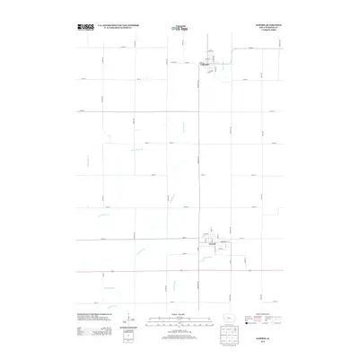
2013 Map of Gowrie
USGS Topo · Published 2013About this map
Gowrie and Callender anchor this portion of Webster County, illustrating the enduring grid of Iowa's agricultural heartland. The landscape is defined by its rectilinear road network, where thoroughfares like Fairbanks Ave and Garfield Ave segment the terrain into precise sections. This 2013 survey shows the essential role of water management in the region, with the engineered Ditch Number 52 and the naturally winding W Buttrick Cr and Tank Pond Cr cutting across the landscape. The layout of Gowrie is particularly detailed, showing the concentration of commerce and community life along Market St and Main St. For researchers, the map provides a clear record of the intersection between small-town infrastructure and the vast drainage systems required for industrial-scale farming in the early 21st century.
Find a feature on this map
41 named features on this map. Tap any name to fly to it.
Don’t see what you’re looking for? This feature index may not catch every label — zoom into the map to look around manually.
Map Details
Editions of this 2013 Gowrie Map
This is the sole edition of this map. No revisions or reprints were ever made.
Other maps of this area

1923 · Lehigh
USGS Topo · 1:62,500

1951 · Ogden
USGS Topo · 1:62,500

1954 · Fort Dodge
USGS Topo · 1:250,000

1957 · Fort Dodge
USGS Topo · 1:250,000

1958 · Fort Dodge
USGS Topo · 1:250,000

1962 · Jefferson
USGS Topo · 1:62,500

1965 · Moorland
USGS Topo · 1:24,000

1965 · Farnhamville
USGS Topo · 1:24,000

1965 · Fort Dodge South
USGS Topo · 1:24,000

1965 · Knierim
USGS Topo · 1:24,000