2020s Maps of Chase County, Kansas
Explore 25 historic maps of Chase County from the 2020s. These maps offer a rare glimpse into what life looked like during the 2020s — showing old roads, neighborhoods, homes, and landmarks that have changed or disappeared over time.
Whether you're researching your family's past, planning a metal detecting trip, or studying how Chase County's landscape evolved across the 2020s, these high-resolution maps are a powerful tool for exploring the history of this region.
- Focus on a specific era: All maps on this page are from the 2020s, giving you a focused view of this time period.
- See what’s changed: Compare century-old streets, trails, and buildings to today's modern landscape using overlays and satellite layers.
- Research with precision: Use these maps for genealogy, historical research, land use analysis, or educational projects.
- View, download, or print: Maps are fully viewable online in high resolution, and can be downloaded or printed for your own records.
Start exploring Chase County's history through authentic maps from the 2020s. This is your window into the past.
Chase County, KS maps
(25)- 2022 Map of Lincolnville NE, 2022 Print
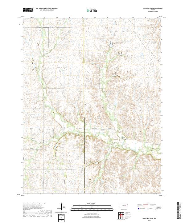 2022 Lincolnville NE2022 Print · USGSThe Marion and Chase County line divides this rural prairie landscape during the early 2020s. Genealogists and historians can locate Elk Cem and trace the winding paths of Middle Creek and Stribby Cr through the section-line road network.
 - 2022 Map of Burdick, 2022 Print
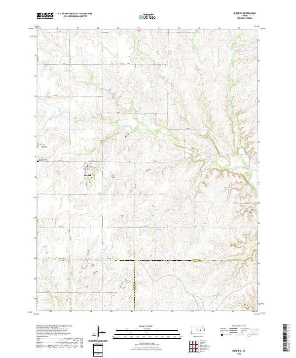 2022 Burdick2022 Print · USGSBurdick and the surrounding Flint Hills ranching country are detailed in this recent survey of the Morris and Marion county border. Local historians can locate Hebron Lutheran Church, trace Sixmile Creek, and identify family landmarks near Diamond Spring.
 - 2022 Map of Phenis Creek, 2022 Print
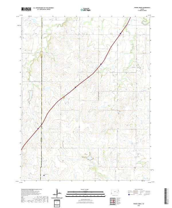 2022 Phenis Creek2022 Print · USGSThe rural borderlands of Lyon and Chase counties are captured here in the early 2020s, showcasing a landscape of winding creek beds and section-line roads. Researchers can locate the Goessel Cemetery and trace the paths of Phenis Creek and Jacob Creek.
 - 2022 Map of Americus, 2022 Print
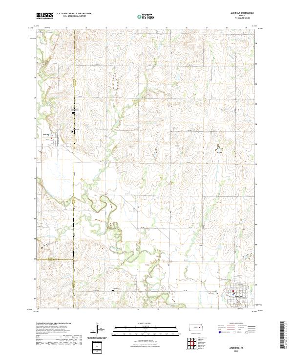 2022 Americus2022 Print · USGSThe Lyon County plains and the Neosho River valley are mapped here in the early twenty-first century. Genealogists can locate significant burial sites like the Dunlap African American Cem and the river-fed lands along Kahola Cr and Troublesome Cr.
 - 2022 Map of Cottonwood Falls, 2022 Print
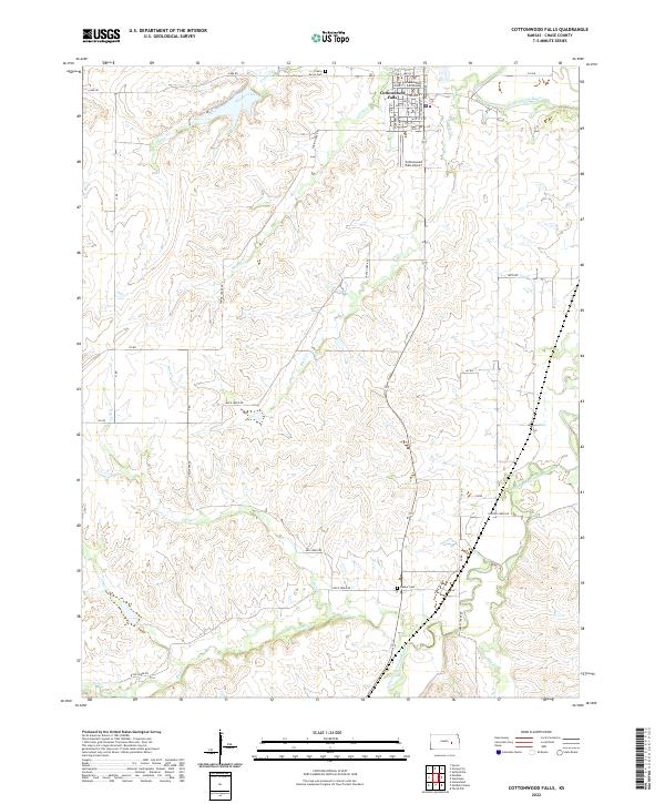 2022 Cottonwood Falls2022 Print · USGSCottonwood Falls and the surrounding Flint Hills ranching country are documented here in the early twenty-first century. Researchers can locate specific town landmarks like the Chase County Courthouse or trace rural ancestry at Prairie Grove Cem and Bazaar Cem.
 - 2022 Map of Thrall NW, 2022 Print
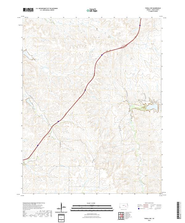 2022 Thrall NW2022 Print · USGSChase County ranching country is documented here in the early 2020s, showing the intricate watershed of the N Br Verdigris River. Trace family land via Sharpes Creek Rd and stream crossings at Bloody Cr and Norton Cr.
 - 2022 Map of Plymouth, 2022 Print
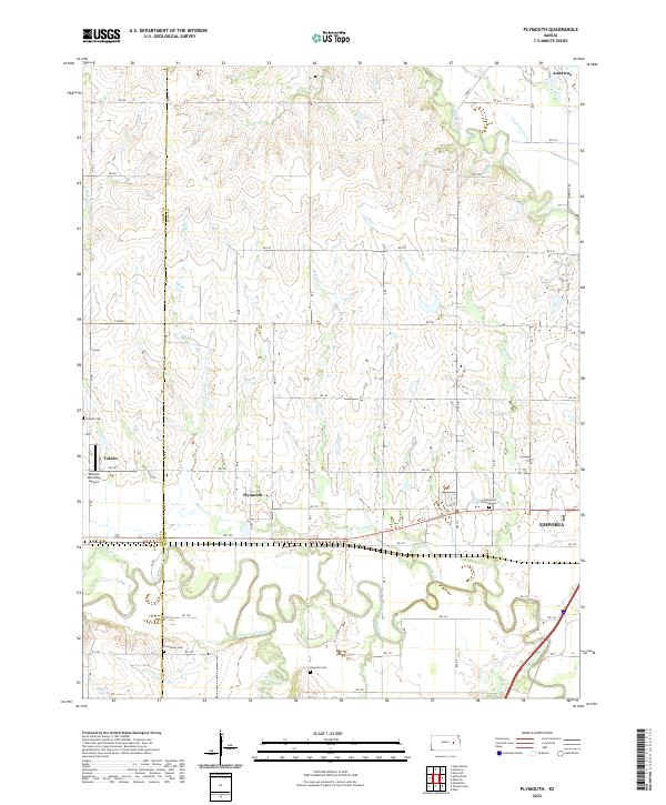 2022 Plymouth2022 Print · USGSCentral Kansas river valleys come alive in the 2020s as the Cottonwood River meets the Neosho River. Genealogists can trace family sites at Cottonwood Friends Cem, Grandview Cem, and the settlement of Plymouth.
 - 2022 Map of Shaw Creek, 2022 Print
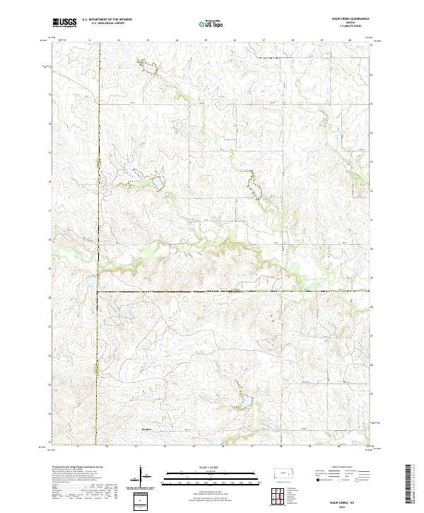 2022 Shaw Creek2022 Print · USGSThe rural borderlands of Lyon, Greenwood, and Chase Counties are captured here in a moment of quiet agricultural continuity. Genealogists and local historians can trace the landscape around Kenbro and follow the branching paths of the N Br Verdigris River and Shaw Cr.
 - 2022 Map of Matfield Green, 2022 Print
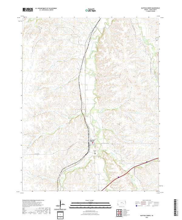 2022 Matfield Green2022 Print · USGSChase County ranching country is centered here during the early twenty-first century, where the prairie landscape meets the river. Genealogists and local historians can trace the settlement at Matfield Green, locate the Matfield Green Cem, and follow the winding South Fork Cottonwood River.
 - 2022 Map of Hymer, 2022 Print
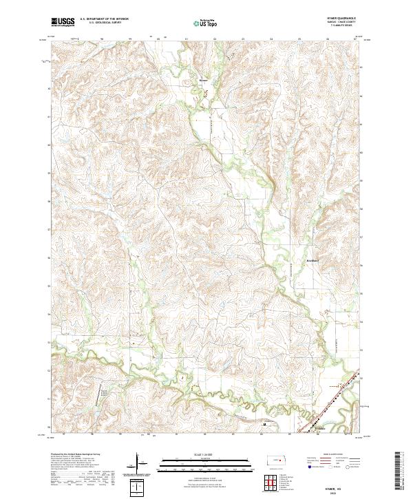 2022 Hymer2022 Print · USGSChase County, Kansas, is documented here in the early 2020s, showing the intersection of the Flint Hills prairie with the valley of the Cottonwood River. Researchers can trace the layout of Elmdale, locate the Elmdale Cem, and follow the winding course of Diamond Cr through the rural landscape.
 - 2022 Map of Thrall, 2022 Print
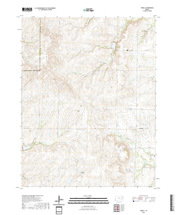 2022 Thrall2022 Print · USGSGreenwood County ranching country is documented here in the early twenty-first century, showing the rural crossroads of Thrall and Burkett. Researchers can locate family burial sites at Andrew Cem or trace the winding course of the N Br Verdigris River.
 - 2022 Map of Elmdale, 2022 Print
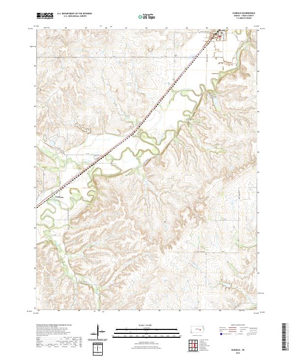 2022 Elmdale2022 Print · USGSChase County’s river valleys and prairie uplands are captured here in the early twenty-first century. Researchers can trace local routes through Elmdale and Clements or follow the paths of Cottonwood River and Silver Cr across the landscape.
 - 2022 Map of Florence SE, 2022 Print
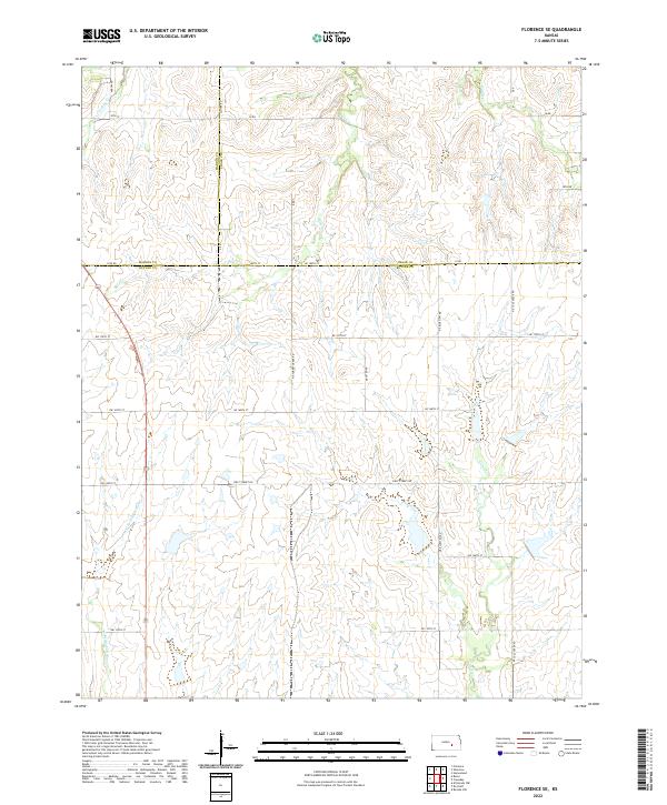 2022 Florence SE2022 Print · USGSThe rural borderlands where Butler, Marion, and Chase counties meet are documented here in the early twenty-first century. Genealogists and local historians can trace family land across section-line roads like Arrow Rd and near water features such as Bills Cr and W Br Walnut River.
 - 2022 Map of Wonsevu, 2022 Print
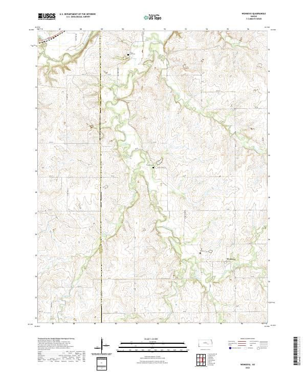 2022 Wonsevu2022 Print · USGSCentral Kansas ranching and farm country is captured here across the Marion and Chase county line, where Wonsevu sits among the Flint Hills. Genealogists and historians can trace local family markers at Wonsevu Cem, Griffith Cem, and Cedar Point Cem.
 - 2022 Map of Strong City, 2022 Print
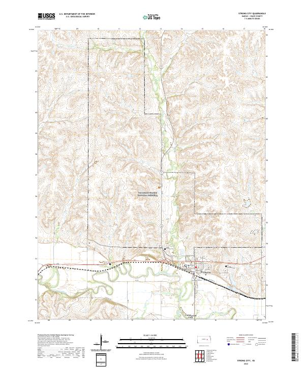 2022 Strong City2022 Print · USGSChase County's heartland is captured here in the early twenty-first century, showing the unique landscape where the prairie meets the river. Researchers can trace family history at Strong Township Cem and Simmons Cem or explore the boundaries of the Tallgrass Prairie National Preserve.
 - 2022 Map of Gladstone, 2022 Print
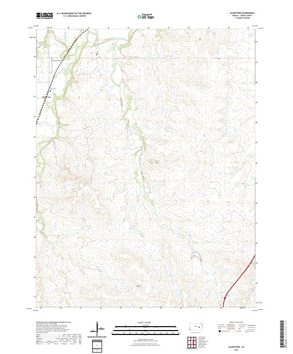 2022 Gladstone2022 Print · USGSChase County, Kansas, is documented here in the early twenty-first century as a landscape of river valleys and cattle country. Researchers can trace family ties at the Miller Cem and follow the paths of Bloody Creek and the Cottonwood River.
 - 2022 Map of Diamond Springs, 2022 Print
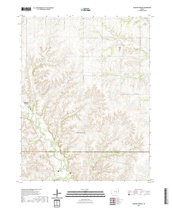 2022 Diamond Springs2022 Print · USGSThe Morris and Chase county line is captured in the early 2020s, showing a traditional Kansas landscape of creek-fed prairie and rural roads. Genealogists and historians can locate family plots at the Diamond Springs Cem or trace the winding path of Diamond Cr.
 - 2022 Map of Wilsey SE, 2022 Print
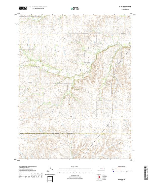 2022 Wilsey SE2022 Print · USGSMorris and Chase counties are captured here in the early twenty-first century, showing a landscape defined by ranching and the Flint Hills watersheds. Genealogists can trace family land along Elm Cr and follow rural routes like Helmick Rd or AA Ave.
 - 2022 Map of Homestead, 2022 Print
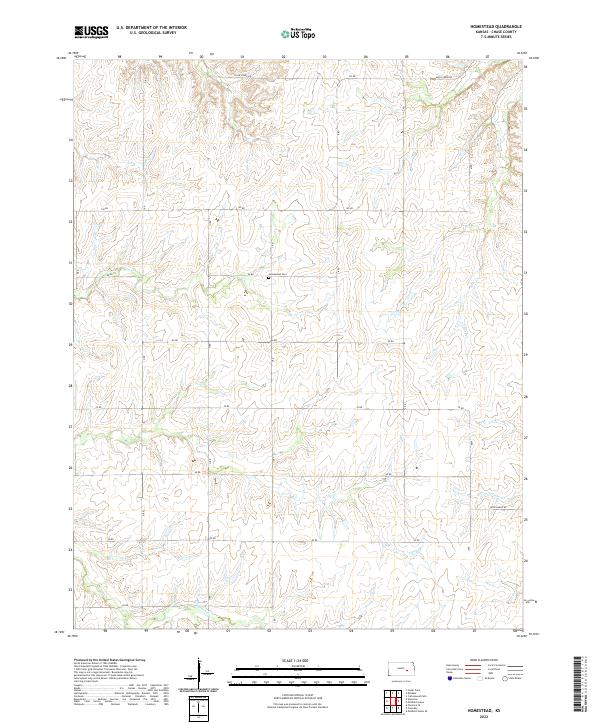 2022 Homestead2022 Print · USGSChase County, Kansas, is shown here in its modern rural character, defined by a classic grid of section roads and rolling creek valleys. Researchers can locate family landmarks like Homestead Cem or trace the winding paths of Coon Cr and Crocker Cr.
 - 2022 Map of Saffordville, 2022 Print
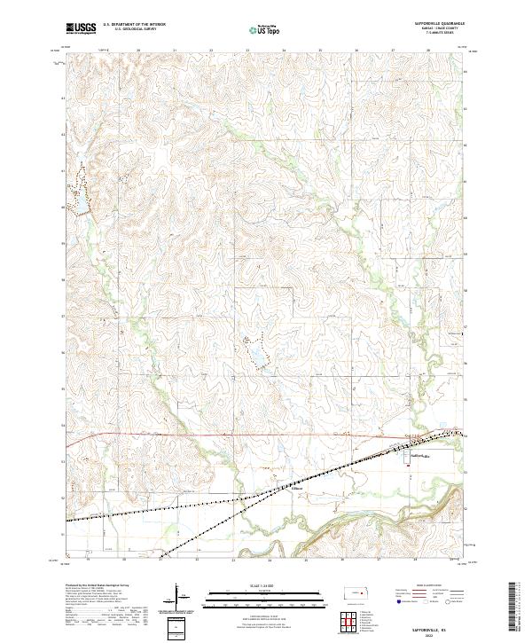 2022 Saffordville2022 Print · USGSChase County, Kansas, is shown here in the early twenty-first century, centered on the river valley and its rural road network. Researchers can trace the layout of Saffordville and Ellinor or locate family sites near Hillside Cem and Cottonwood River.
 - 2022 Map of Cassoday, 2022 Print
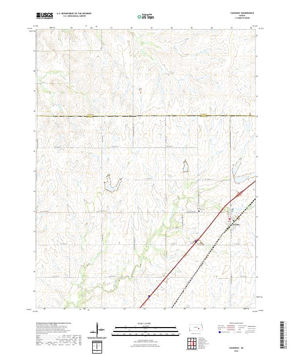 2022 Cassoday2022 Print · USGSThe northern reaches of the Flint Hills come into focus in this recent survey of the Butler and Chase county line. Researchers can locate the Cassoday Cem and trace the winding course of the Walnut River and School Br through the prairie.
 - 2022 Map of Cedar Point, 2022 Print
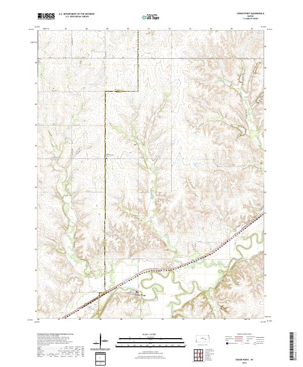 2022 Cedar Point2022 Print · USGSChase and Marion counties meet in this contemporary view of the Flint Hills region, where the Cottonwood River anchors the local geography. Genealogists and local historians can trace family land near Montgomery Cem or follow the waters of French Cr and Robinson Spring.
 - 2022 Map of Teterville, 2022 Print
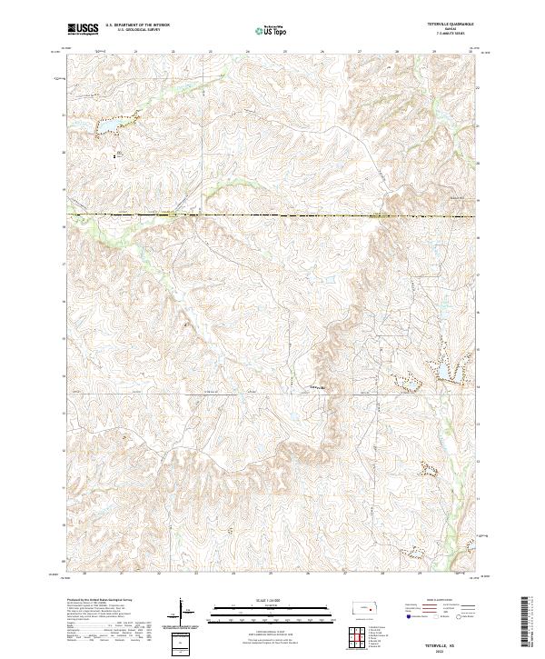 2022 Teterville2022 Print · USGSThe Flint Hills region of Chase and Greenwood counties is documented here as it appeared in the early 2020s. Genealogists and historians can locate High Prairie Cem and trace the influence of the oil industry at Cities Service Lake and Texaco Hill.
 - 2022 Map of Lake Kahola, 2022 Print
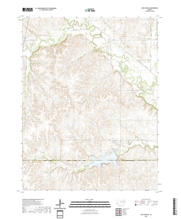 2022 Lake Kahola2022 Print · USGSThe Flint Hills region of Morris and Chase counties comes into focus in this recent survey of the prairie landscape. You can trace the winding course of the Neosho River or locate shoreline details at Lake Kahola and its primary feeder, Kahola Cr.
 - 2022 Map of Matfield Green SE, 2022 Print
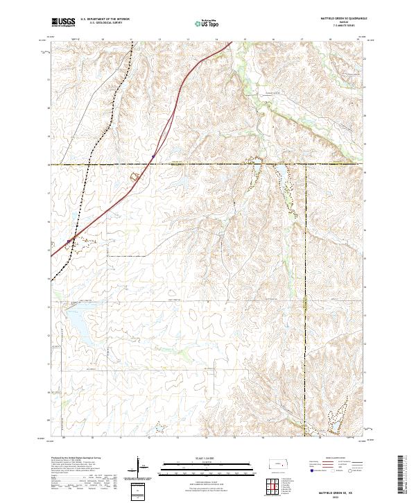 2022 Matfield Green SE2022 Print · USGSThe Kansas Flint Hills transition across Butler, Chase, and Greenwood counties in this recent survey of prairie rangeland. Trace the headwaters of the Walnut River and S Fork Cottonwood River, or locate isolated landmarks like Fox Lake and Thurman Cr.
End of results
Showing maps 1-25 of 25
Top cities of Chase County
- Cottonwood Falls historical maps
- Strong City historical maps
- Toledo historical maps
- Bazaar historical maps
- Matfield Green historical maps
- Cedar Point historical maps
See more
Frequently asked questions
- What are the different types of historical maps available for Chase County?
- What is the oldest map of Chase County?
- Where can I purchase historical maps of Chase County for my home or office?
- Where can I download high-res historical maps of Chase County?
- Are there historical topographic maps available for Chase County?
- Is there historical aerial imagery available for Chase County?
- Where are historical maps of Chase County sourced from?