Old Maps of Green, Kansas for Metal Detecting
Plan your next treasure hunt with 22 historic maps of Green. Find old homesites, ghost towns, trails, and gathering spots that may be lost to time — perfect for identifying promising metal detecting locations.
- Locate forgotten sites: Uncover places like long-lost settlements, abandoned rail lines, or gathering spots.
- Plan better hunts: Use map overlays combined with LiDAR or satellite views to narrow in on historically rich areas.
- Made for detectorists: Thousands of hobbyists use these maps to discover relics, coins, and hidden history.
Use these historic maps to boost your research and find new opportunities beneath the surface of Green.
Green, KS maps
(22)- 1886 Map of Junction City, 1960 Print
 1886 Junction City1960 Print · USGSNortheastern Kansas in the late nineteenth century centers on the strategic military and rail hubs of the Flint Hills. Genealogists can trace the early foundations of Junction City, the sprawling Fort Riley Military Reservation, and rail-stop towns like Garrison and Stockdale.
 - 1889 Map of Junction City
 1889 Junction City1889 Print · USGSThe confluence of the Republican and Smoky Hill rivers defines this central Kansas landscape in the late nineteenth century. Genealogists and historians can trace the early footprints of Fort Riley, the rail hubs of Junction City and Manhattan, and vanished stops like Garrison and Bala.
 - 1891 Map of Clay Center
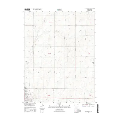
 1891 Clay Center1891 Print · USGSClay County and northern Dickinson County were defined by competing rail lines in the early 1890s as the river valleys were first being settled. Genealogists and historians can trace the early foundations of towns like Clay Center, Wakefield, and Manchester alongside the Republican River.5 unique versions available
 - 1894 Map of Junction City
 1894 Junction City1894 Print · USGSThe Kansas frontier of the late nineteenth century comes alive as the rail-and-river network expands around Junction City. Genealogists and historians can trace early townships and rural outposts like Riley Center, Bala, and the Fort Riley Military Reservation.7 unique versions available
 - 1955 Map of Manhattan, 1964 Print
 1955 Manhattan1964 Print · USGSNorth Central Kansas is captured here in the mid-fifties, just as major flood control projects began reshaping the river valleys. Genealogists can locate family sites near St. Joseph Church, Sunset Cemetery, or along the busy tracks of the Rock Island RR.4 unique versions available
 - 1956 Map of Manhattan
 1956 Manhattan1956 Print · USGSNorth-central Kansas in the mid-fifties reveals a landscape defined by the convergence of the Republican River and Smoky Hill River. Historians can trace the rail corridors of the Union Pacific RR and Missouri Pacific RR through towns like Manhattan and Clay Center.
 - 1957 Map of Manhattan
 1957 Manhattan1957 Print · USGSNortheast Kansas in the mid-1950s reveals a landscape of expanding military installations and new water projects. Genealogists and historians can trace the rail-to-river economy through the Union Pacific RR and old settlements like Clay Center or Marysville.
 - 1963 Map of Lasita, 1965 Print
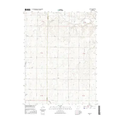
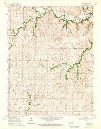 1963 Lasita1965 Print · USGSThe rural landscape along the Clay and Riley County line is captured here in the early sixties, showing the agricultural heartland before modern consolidation. Genealogists can locate family landmarks like Ebenezer Cem, May Day Cem, and the path of the Old Railroad Grade.2 unique versions available
 - 1964 Map of Clay Center NE, 1965 Print
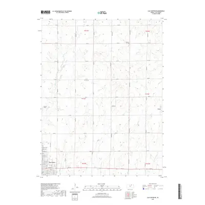
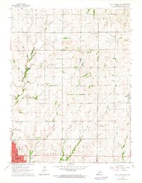 1964 Clay Center NE1965 Print · USGSClay County at the start of the 1960s reveals a landscape of established townships and evolving transport. Genealogists and local historians can trace the Old Railroad Grade near Green or locate family sites like Hayes Cem and the Brethren in Christ Cem.
 - 1985 Map of Clay Center
 1985 Clay Center1985 Print · USGSThe river valleys of North Central Kansas appear here in the mid-eighties, showing the region's agricultural layout and the rise of Milford Lake. Researchers can trace old township connections through settlements like Delphos, Idana, and Summerville.2 unique versions available
 - 1985 Map of Manhattan, 1986 Print
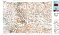
 1985 Manhattan1986 Print · USGSThe Flint Hills and Kansas River valley are captured in the mid-eighties, showing the growth of Manhattan alongside major military and ecological preserves. Trace local history through the Union Pacific rail lines, the Treaty Boundary, and the infrastructure of Fort Riley.
 - 1990 Map of Manhattan
 1990 Manhattan1990 Print · USGSThe Kansas river valley and the Flint Hills uplands are captured here in the late twentieth century as the region balanced military expansion and water management. Trace the historic Union Pacific rail line through river towns like Wamego and St Marys, or explore the sprawling Fort Riley Military Reservation.
 - 2009 Map of Clay Center NE, 2009 Print
 2009 Clay Center NE2009 Print · USGSCovers Green, including Clay Center, Clay County, and other nearby areas
 - 2009 Map of Lasita, 2009 Print
 2009 Lasita2009 Print · USGSCovers Green, including Lasita, Riley County, and other nearby areas
 - 2012 Map of Lasita, 2012 Print
 2012 Lasita2012 Print · USGSCovers Green, including Lasita, Riley County, and other nearby areas
 - 2012 Map of Clay Center NE, 2012 Print
 2012 Clay Center NE2012 Print · USGSCovers Green, including Clay Center, Clay County, and other nearby areas
 - 2015 Map of Lasita, 2015 Print
 2015 Lasita2015 Print · USGSCovers Green, including Lasita, Riley County, and other nearby areas
 - 2016 Map of Clay Center NE, 2016 Print
 2016 Clay Center NE2016 Print · USGSCovers Green, including Clay Center, Clay County, and other nearby areas
 - 2018 Map of Lasita, 2018 Print
 2018 Lasita2018 Print · USGSCovers Green, including Lasita, Riley County, and other nearby areas
 - 2018 Map of Clay Center NE, 2018 Print
 2018 Clay Center NE2018 Print · USGSCovers Green, including Clay Center, Clay County, and other nearby areas
 - 2022 Map of Clay Center NE, 2022 Print
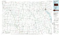
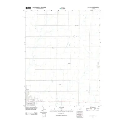
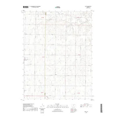
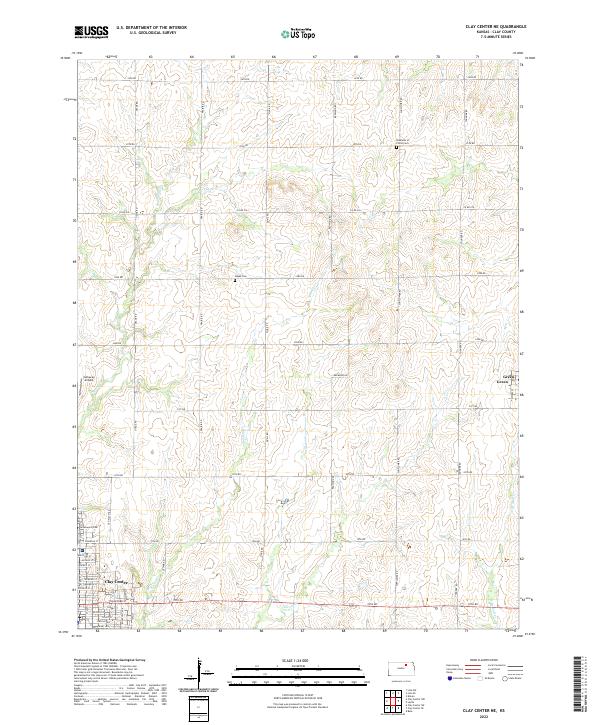 2022 Clay Center NE2022 Print · USGSClay County during the early 2020s shows a landscape defined by traditional section-line roads and prairie creek systems. Researchers can trace the layout of Clay Center or locate rural landmarks like Hayes Cem and the small settlement of Green.
 - 2022 Map of Lasita, 2022 Print
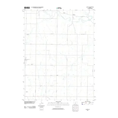
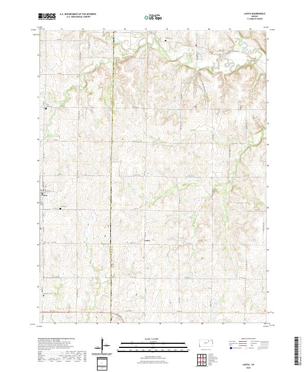 2022 Lasita2022 Print · USGSThe borderlands of Riley and Clay counties are shown here in the early 2020s, preserving a landscape of upland prairies and winding creek valleys. Genealogists can locate family sites at Green Cem, May Day Cem, and Lasita, or trace the waters of Mall Cr.
End of results
Showing maps 1-22 of 22
Top cities near Green
- Clay Center historical maps
- Wakefield historical maps
- Riley historical maps
- Bala historical maps
- Leonardville historical maps
- Morganville historical maps
See more
Frequently asked questions
- What are the different types of historical maps available for Green?
- What is the oldest map of Green?
- Where can I purchase historical maps of Green for my home or office?
- Where can I download high-res historical maps of Green?
- Are there historical topographic maps available for Green?
- Is there historical aerial imagery available for Green?
- Where are historical maps of Green sourced from?