Old Maps of Grinnell, Kansas for Metal Detecting
Plan your next treasure hunt with 22 historic maps of Grinnell. Find old homesites, ghost towns, trails, and gathering spots that may be lost to time — perfect for identifying promising metal detecting locations.
- Locate forgotten sites: Uncover places like long-lost settlements, abandoned rail lines, or gathering spots.
- Plan better hunts: Use map overlays combined with LiDAR or satellite views to narrow in on historically rich areas.
- Made for detectorists: Thousands of hobbyists use these maps to discover relics, coins, and hidden history.
Use these historic maps to boost your research and find new opportunities beneath the surface of Grinnell.
Grinnell, KS maps
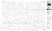
(22)- 1954 Map of Goodland, 1976 Print
 1954 Goodland1976 Print · USGSNorthwest Kansas comes into focus during the mid-1950s, showing a landscape defined by its vital river forks and thriving rail towns. Researchers can trace the path of the Union Pacific through Colby or locate historic parks like Sheridan Co State Park.
 - 1956 Map of Goodland
 1956 Goodland1956 Print · USGSThe high plains of Northwest Kansas in the mid-fifties reveal a landscape of river-fed agriculture and expanding rail networks. Genealogists and historians can trace the development of county seats like Goodland and Atwood or locate landmarks such as the Arikaree Breaks.
 - 1957 Map of Goodland
 1957 Goodland1957 Print · USGSNorthwest Kansas in the mid-1950s shows a landscape of high plains agriculture and vital rail junctions. Researchers can trace the river-valley settlements from Goodland to Oberlin and follow the paths of the Union Pacific and Sappa Creek.2 unique versions available
 - 1979 Map of Grinnell South
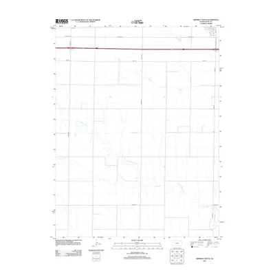
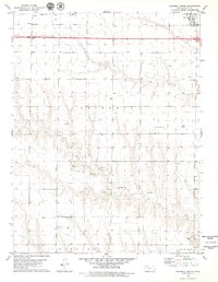 1979 Grinnell South1979 Print · USGSWestern Kansas upland plains and broken creek valleys are documented here in the late seventies. Genealogists and historians can trace the Union Pacific rail corridor through Grinnell and Campus, or locate remote sites like Bushby and several oil wells.
 - 1979 Map of Grinnell NE
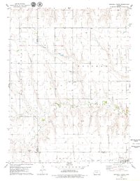
 1979 Grinnell NE1979 Print · USGSWestern Kansas at the end of the 1970s shows a landscape defined by its waterways and rail access. Genealogists and historians can trace the Union Pacific line as it connects the communities of Grinnell and Grainfield along the county border.2 unique versions available
 - 1979 Map of Grinnell North
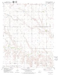
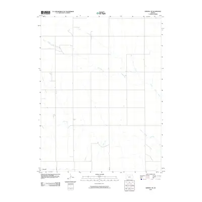
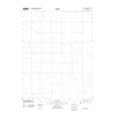
 1979 Grinnell North1979 Print · USGSSheridan County agricultural lands and rail corridors are captured here in the late seventies. Genealogists and local historians can trace the foundations of Angelus and Grinnell, or locate rural landmarks like St Johns Cem and the Union Pacific line.
 - 1985 Map of Oakley
 1985 Oakley1985 Print · USGSWestern Kansas at the mid-eighties shows a vast agricultural network tied together by the Union Pacific and KYLE rail lines. Genealogists and researchers can trace family roots through rural communities like Hoxie, Angelus, and St Peter while identifying local Cemeteries and small-scale operations like the Silica Pit.2 unique versions available
 - 2009 Map of Grinnell South, 2009 Print
 2009 Grinnell South2009 Print · USGSCovers Grinnell, including Gove County, United States, and other nearby areas
 - 2010 Map of Grinnell North, 2010 Print
 2010 Grinnell North2010 Print · USGSCovers Grinnell, including Angelus, Gove County, and other nearby areas
 - 2010 Map of Grinnell NE, 2010 Print
 2010 Grinnell NE2010 Print · USGSCovers Grinnell, including Gove County, Sheridan County, and other nearby areas
 - 2012 Map of Grinnell North, 2012 Print
 2012 Grinnell North2012 Print · USGSCovers Grinnell, including Angelus, Gove County, and other nearby areas
 - 2012 Map of Grinnell South, 2012 Print
 2012 Grinnell South2012 Print · USGSCovers Grinnell, including Gove County, United States, and other nearby areas
 - 2012 Map of Grinnell NE, 2012 Print
 2012 Grinnell NE2012 Print · USGSCovers Grinnell, including Gove County, Sheridan County, and other nearby areas
 - 2015 Map of Grinnell North, 2015 Print
 2015 Grinnell North2015 Print · USGSCovers Grinnell, including Angelus, Gove County, and other nearby areas
 - 2015 Map of Grinnell NE, 2015 Print
 2015 Grinnell NE2015 Print · USGSCovers Grinnell, including Gove County, Sheridan County, and other nearby areas
 - 2015 Map of Grinnell South, 2015 Print
 2015 Grinnell South2015 Print · USGSCovers Grinnell, including Gove County, United States, and other nearby areas
 - 2018 Map of Grinnell South, 2018 Print
 2018 Grinnell South2018 Print · USGSCovers Grinnell, including Gove County, United States, and other nearby areas
 - 2018 Map of Grinnell North, 2018 Print
 2018 Grinnell North2018 Print · USGSCovers Grinnell, including Angelus, Gove County, and other nearby areas
 - 2018 Map of Grinnell NE, 2018 Print
 2018 Grinnell NE2018 Print · USGSCovers Grinnell, including Gove County, Sheridan County, and other nearby areas
 - 2022 Map of Grinnell South, 2022 Print
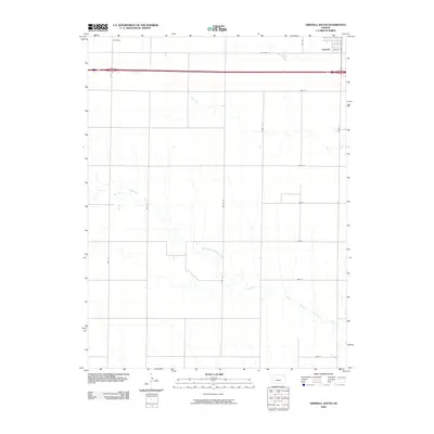
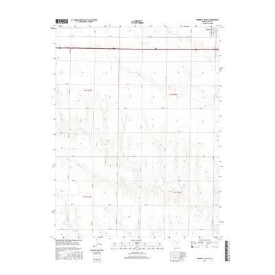
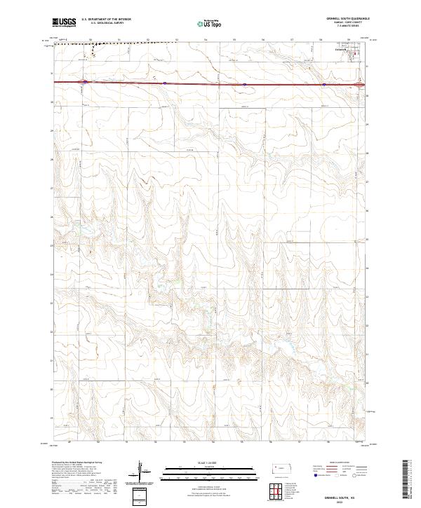 2022 Grinnell South2022 Print · USGSThe southern outskirts of Grinnell are captured here in the early twenty-first century, showing the transition from town streets to open plains. Researchers can trace land ownership patterns along Campas Rd or follow the drainage of Big Cr and N Br Hackberry Cr.
 - 2022 Map of Grinnell NE, 2022 Print
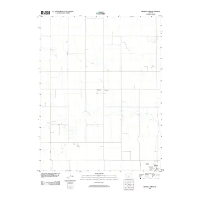
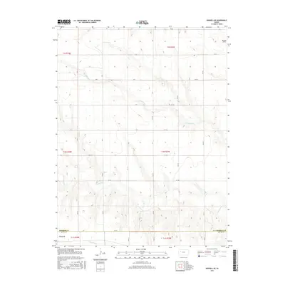
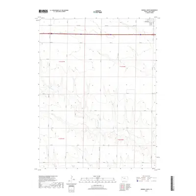
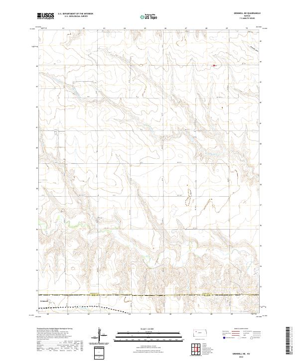 2022 Grinnell NE2022 Print · USGSSheridan County agricultural lands meet the Gove County line in this modern study of the Kansas high plains. Genealogists and local historians can trace property boundaries along the Saline River and locate the northeastern reaches of Grinnell near N Fork Big Cr.
 - 2022 Map of Grinnell North, 2022 Print
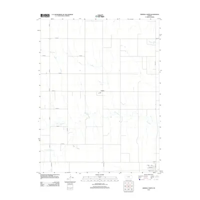
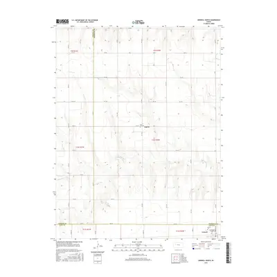
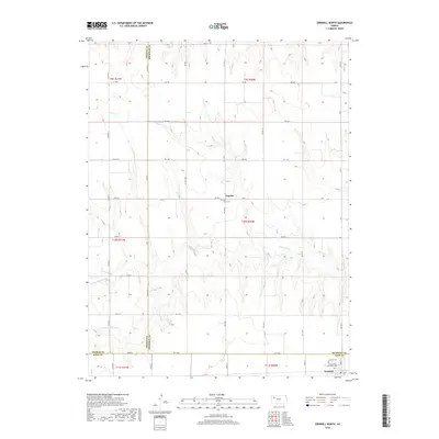
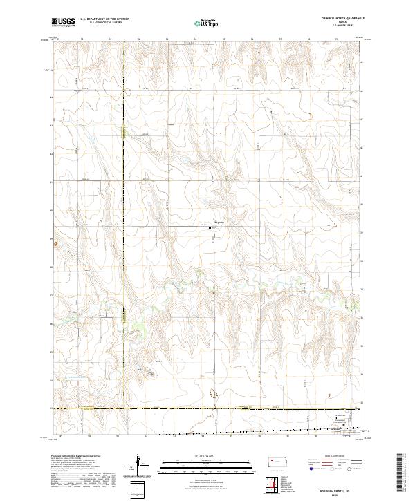 2022 Grinnell North2022 Print · USGSSheridan County and the surrounding high plains are captured here in the early 2020s, showing a landscape of rural homesteads and vast prairie drainages. Researchers can trace family history at Saint John Cem near Angelus or follow the forks of the Saline River.
End of results
Showing maps 1-22 of 22
Top cities near Grinnell
Frequently asked questions
- What are the different types of historical maps available for Grinnell?
- What is the oldest map of Grinnell?
- Where can I purchase historical maps of Grinnell for my home or office?
- Where can I download high-res historical maps of Grinnell?
- Are there historical topographic maps available for Grinnell?
- Is there historical aerial imagery available for Grinnell?
- Where are historical maps of Grinnell sourced from?