2000-2009 Maps of Johnson County, Kansas
Explore 18 historic maps of Johnson County from 2000-2009. These maps offer a rare glimpse into what life looked like during the 2000s — showing old roads, neighborhoods, homes, and landmarks that have changed or disappeared over time.
Whether you're researching your family's past, planning a metal detecting trip, or studying how Johnson County's landscape evolved across the 2000s, these high-resolution maps are a powerful tool for exploring the history of this region.
- Focus on a specific era: All maps on this page are from the 2000s, giving you a focused view of this time period.
- See what’s changed: Compare century-old streets, trails, and buildings to today's modern landscape using overlays and satellite layers.
- Research with precision: Use these maps for genealogy, historical research, land use analysis, or educational projects.
- View, download, or print: Maps are fully viewable online in high resolution, and can be downloaded or printed for your own records.
Start exploring Johnson County's history through authentic maps from the 2000s. This is your window into the past.
Johnson County, KS maps
(18)- 2009 Map of Wellsville, 2009 Print
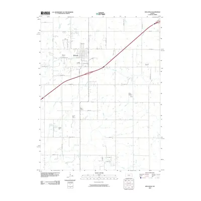 2009 Wellsville2009 Print · USGSWellsville and its surrounding townships are captured here at the close of the 2000s, showing a landscape shaped by oil extraction and aviation. Researchers can locate the Wellsville-Paola Oil Field, private airstrips like Harry Bivins Airport, and the Walnut Creek Cemetery.
 - 2009 Map of Edgerton, 2009 Print
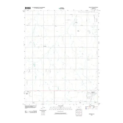 2009 Edgerton2009 Print · USGSNortheast Kansas in the early twenty-first century reveals a deeply rooted landscape of agricultural crossroads and small-town growth. Genealogists can trace family heritage through numerous sites like Day Cemetery, Clearfield, and the historic Black Jack area.
 - 2009 Map of Tonganoxie, 2009 Print
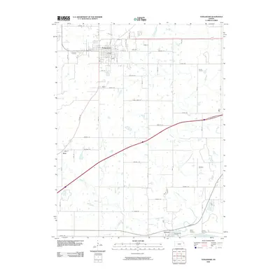 2009 Tonganoxie2009 Print · USGSLeavenworth County at the end of the decade shows a landscape of established towns and rural corridors between the Kansas River and Tonganoxie. Genealogists can trace family roots through numerous sites like Hemple Cemetery, Sarcoxie Cemetery, and the Tonganoxie Post Office.
 - 2009 Map of Stilwell, 2009 Print
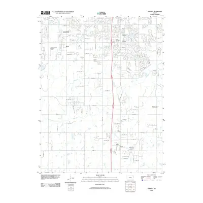 2009 Stilwell2009 Print · USGSJohnson County is shown during a period of rapid suburban growth south of Overland Park. Researchers can trace the development around Stilwell, Morse, and Stanley, or locate family sites at Aubry Cemetery and Pleasant Valley Cemetery.
 - 2009 Map of Edwardsville, 2009 Print
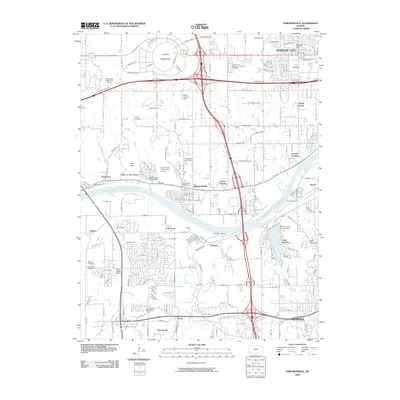 2009 Edwardsville2009 Print · USGSThe Kansas River valley in the early 2000s shows a complex blend of historic riverside settlements and modern professional sports infrastructure. Local historians can trace the development of Edwardsville and Shawnee, or locate family landmarks like Edwardsville Cemetery and the Monticello Branch Post Office.
 - 2009 Map of Gardner, 2009 Print
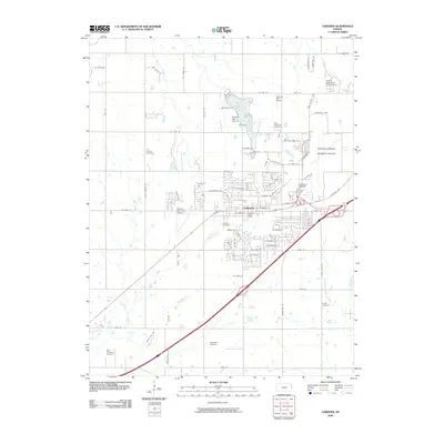 2009 Gardner2009 Print · USGSGardner and the surrounding Johnson County prairie are shown here in the late 2000s, reflecting a mix of suburban growth and aviation hubs. Genealogists and local historians can locate several family and community landmarks, including Gardner Cemetery, Saint Columbia Cemetery, and the Johnson County Industrial Airport.
 - 2009 Map of De Soto, 2009 Print
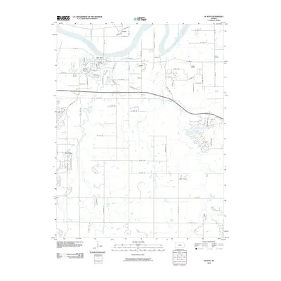 2009 De Soto2009 Print · USGSDe Soto and the northern reaches of Johnson County are shown in this 2009 survey as the area balances its river roots with growing suburban networks. Researchers can trace local history through the De Soto Railroad Bridge, Murphy Cemetery, and the De Soto Post Office.
 - 2009 Map of Bonner Springs, 2009 Print
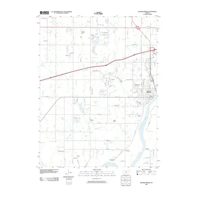 2009 Bonner Springs2009 Print · USGSThe Kansas River valley near Bonner Springs shows a blend of suburban growth and river-bottom industry in the late 2000s. Researchers can trace local history through family burial sites like Lenape Cemetery and old riverfront rail stops at Loring and Coldspur.
 - 2009 Map of Belton, 2009 Print
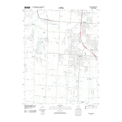 2009 Belton2009 Print · USGSThe Missouri-Kansas borderlands come into focus at a time of suburban growth and industrial activity. Trace local history through the Knoche Oil Field, established family grounds like Bryant Cemetery, and the rail corridors of the BNSF Railway.
 - 2009 Map of Eudora, 2009 Print
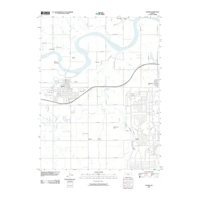 2009 Eudora2009 Print · USGSEastern Kansas at the end of the first decade of the 2000s shows the expansion of Eudora and Clearview City along the Kansas River corridor. Researchers can locate several historic burial grounds including Delaware Cemetery and Hesper Friends Cemetery or trace the winding course of Captain Creek.
 - 2009 Map of Lenexa, 2009 Print
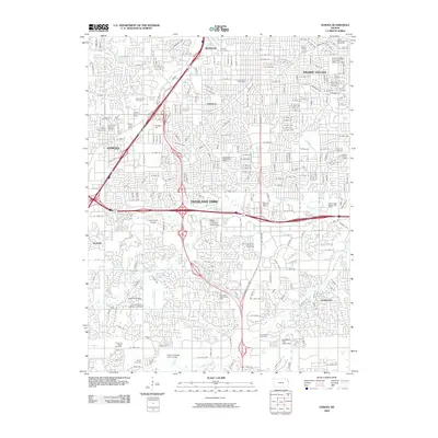 2009 Lenexa2009 Print · USGSOverland Park and Lenexa appear at a peak of suburban development in the late 2000s, characterized by winding residential streets and major highway corridors. Genealogists can locate several burial sites including the Woolford Farm Horse Cemetery and Antioch Cemetery.
 - 2009 Map of Spring Hill, 2009 Print
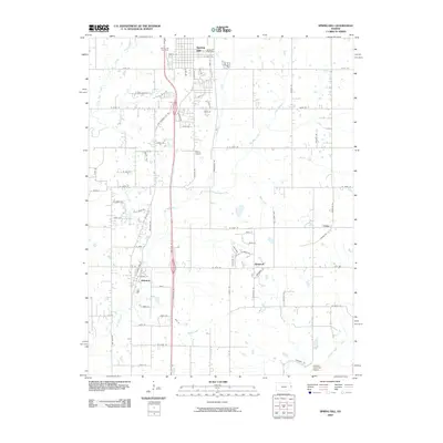 2009 Spring Hill2009 Print · USGSSpring Hill and the surrounding Kansas countryside are documented here at the opening of the century. Genealogists and local historians can trace family locations near Spring Hill Cemetery or explore small centers like Wagstaff and Chiles.
 - 2009 Map of Kansas City, 2009 Print
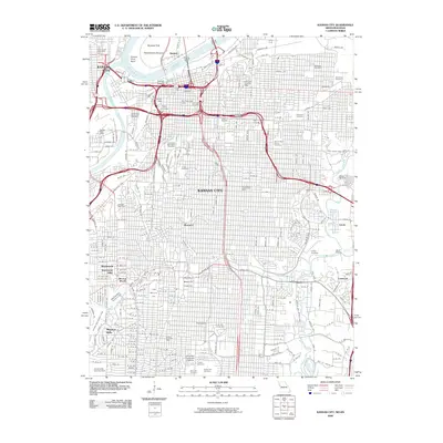 2009 Kansas City2009 Print · USGSKansas City and its riverfront neighborhoods are mapped here during a period of modern urban density. Researchers can trace historic district boundaries like Quality Hill and Westport, or locate ancestral sites in Union Cemetery and Elmwood Cemetery.
 - 2009 Map of Ocheltree, 2009 Print
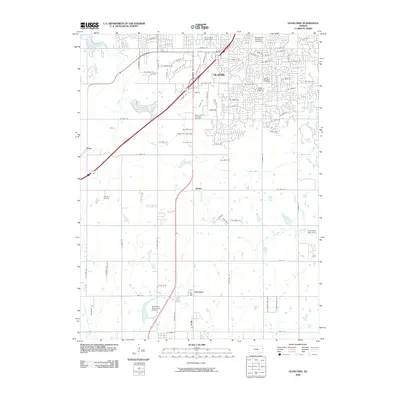 2009 Ocheltree2009 Print · USGSIn this 2009 survey of Johnson County, suburban expansion from Olathe meets the agricultural reaches of the Kansas countryside. Local historians can trace the foundations of Ocheltree and Bonita or locate landmarks like Mount Calvary Catholic Cemetery and Olathe Lake.
 - 2009 Map of Olathe, 2009 Print
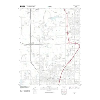 2009 Olathe2009 Print · USGSJohnson County experiences significant suburban growth in the early 2000s, balancing modern development with deep family history. Genealogists can trace several local burial sites like Maupin Family Cemetery and Smith Cemetery while exploring the expansion of Olathe.
 - 2009 Map of Shawnee, 2009 Print
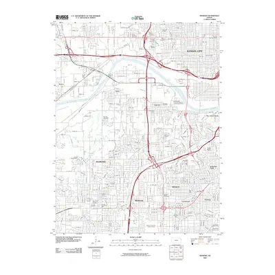 2009 Shawnee2009 Print · USGSGreater Kansas City's western suburbs are captured in the early twenty-first century as they transition from industrial riverfronts to established residential communities. Genealogists and historians can trace significant burial sites like the Wyandotte National Burying Ground and the Tensquatawa Burial Ground or locate the Argentine Post Office near the river.
 - 2009 Map of West Line, 2009 Print
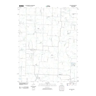 2009 West Line2009 Print · USGSCass County’s rural transitions are documented here at the turn of the decade, showing the residential growth surrounding Cleveland and West Line. Genealogists can trace family sites at Glenwild Cemetery or Frazee Cemetery while mapping landmarks like Lake Annette.
 - 2009 Map of Grandview, 2009 Print
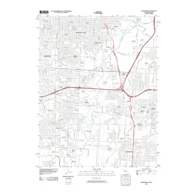 2009 Grandview2009 Print · USGSThe southern edges of the Missouri-Kansas border are captured in the early 2000s, showing the intersection of urban growth and historic landmarks. Researchers can trace family roots at Mount Moriah Cemetery or locate old community centers like New Santa Fe and Hickman Mills.
End of results
Showing maps 1-18 of 18
Top cities of Johnson County
- Overland Park historical maps
- Olathe historical maps
- Shawnee historical maps
- Lenexa historical maps
- Leawood historical maps
- Prairie Village historical maps
See more
Frequently asked questions
- What are the different types of historical maps available for Johnson County?
- What is the oldest map of Johnson County?
- Where can I purchase historical maps of Johnson County for my home or office?
- Where can I download high-res historical maps of Johnson County?
- Are there historical topographic maps available for Johnson County?
- Is there historical aerial imagery available for Johnson County?
- Where are historical maps of Johnson County sourced from?