2020s Maps of Logan County, Kansas
Explore 30 historic maps of Logan County from the 2020s. These maps offer a rare glimpse into what life looked like during the 2020s — showing old roads, neighborhoods, homes, and landmarks that have changed or disappeared over time.
Whether you're researching your family's past, planning a metal detecting trip, or studying how Logan County's landscape evolved across the 2020s, these high-resolution maps are a powerful tool for exploring the history of this region.
- Focus on a specific era: All maps on this page are from the 2020s, giving you a focused view of this time period.
- See what’s changed: Compare century-old streets, trails, and buildings to today's modern landscape using overlays and satellite layers.
- Research with precision: Use these maps for genealogy, historical research, land use analysis, or educational projects.
- View, download, or print: Maps are fully viewable online in high resolution, and can be downloaded or printed for your own records.
Start exploring Logan County's history through authentic maps from the 2020s. This is your window into the past.
Logan County, KS maps
(30)- 2022 Map of Winona, 2022 Print
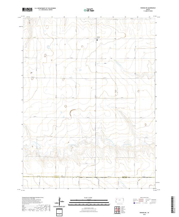
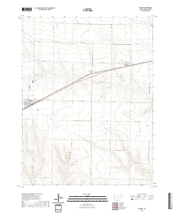 2022 Winona2022 Print · USGSLogan County, Kansas, is captured here in the early twenty-first century, showcasing the rural landscapes of Winona and Page City. Genealogists and local historians can trace family locations near Winona Cem or follow the paths of Sixmile Cr and Six Mile Gulch.
 - 2022 Map of McAllaster SE, 2022 Print
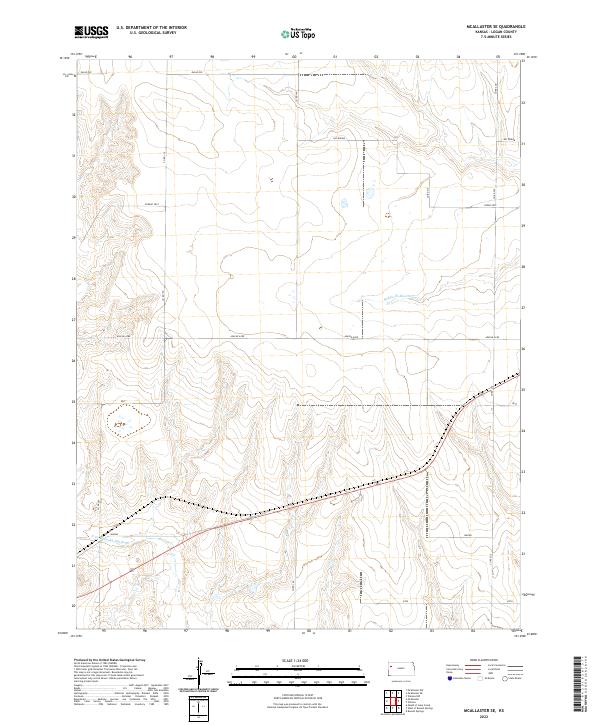 2022 McAllaster SE2022 Print · USGSLogan County’s open plains are captured here in the early twenty-first century as they are shaped by the river valleys and a modern road grid. Researchers can trace the path of the N Fork Smoky Hill River or follow named routes like Eagle Eye and Wagon.
 - 2022 Map of McAllaster NW, 2022 Print
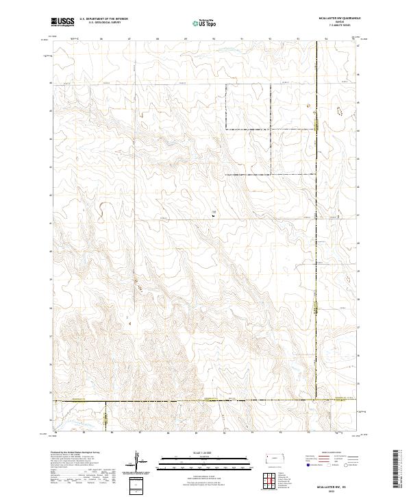 2022 McAllaster NW2022 Print · USGSSherman County and its neighboring borders are documented in this recent survey, showcasing the remote plains of western Kansas. Genealogists and researchers can locate the Lava Cem and trace the headwaters of the S Fork Solomon River and Sand Cr.
 - 2022 Map of Winona NW, 2022 Print
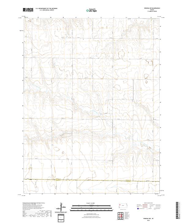 2022 Winona NW2022 Print · USGSThe High Plains of Thomas County are captured here in the early twenty-first century, showing the intersection of agricultural grid lines and natural hydrology. Researchers can trace the winding path of the S Fork Saline River and locate the boundary road known as Fort Fox on the Logan County line.
 - 2022 Map of Oakley SW, 2022 Print
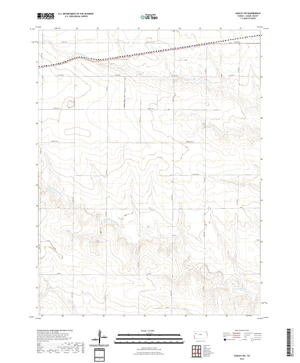 2022 Oakley SW2022 Print · USGSLogan County’s open plains and rolling draws are captured here in the early twenty-first century as modern agriculture and traditional land grids overlap. Researchers can trace the drainage of Middle Br Hackberry Cr and find rural tracts like Eagle Eye and Apache Acre.
 - 2022 Map of Winona NE, 2022 Print
 2022 Winona NE2022 Print · USGSThomas County, Kansas, is captured here in the modern era as a landscape of structured section lines and prairie waterways. Researchers can locate Summers Township Cem and trace the meandering forks of the N Fork Saline River and S Fork Saline River.
 - 2022 Map of Monument, 2022 Print
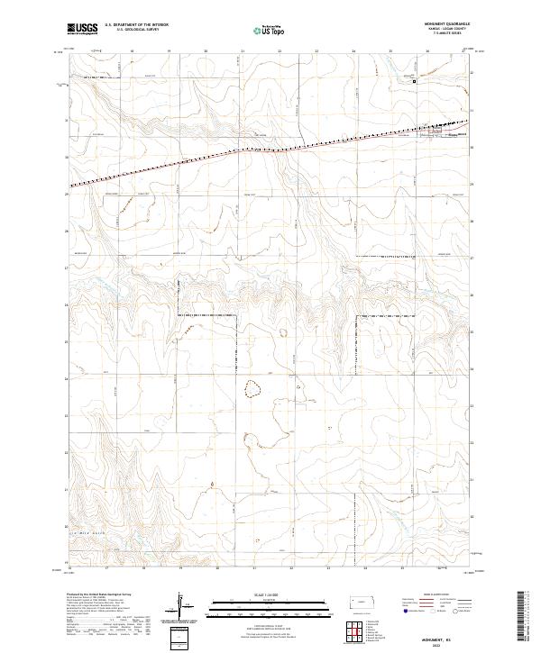 2022 Monument2022 Print · USGSMonument and the surrounding Logan County plains are captured here in the early twenty-first century, showing the intersection of local history and the modern grid. Genealogists and researchers can trace the locations of the Monument Cem and Monument School near the headwaters of N Br Hackberry Cr.
 - 2022 Map of Spica, 2022 Print
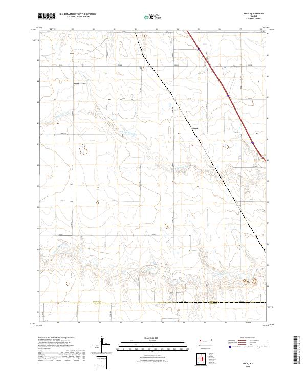 2022 Spica2022 Print · USGSWestern Kansas agricultural lands are captured here recently, showing the rural landscape around the forks of the Saline River. Trace the section lines and local routes such as Fort Fox and Kismet Dr, or locate the quiet site of Spica.
 - 2022 Map of McAllaster NE, 2022 Print
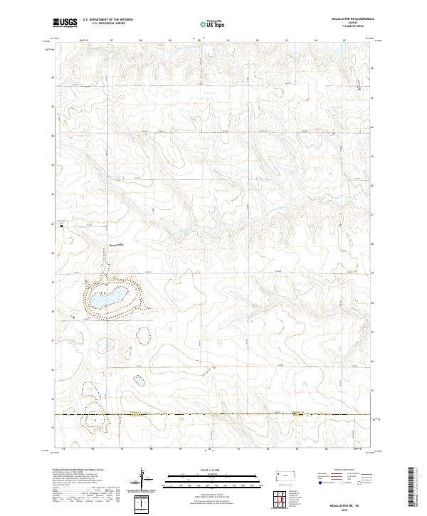 2022 McAllaster NE2022 Print · USGSThe high plains of western Kansas are documented here in 2022, showcasing the prairie drainage systems and the rural settlement of Brownville. Researchers can trace local genealogy at the Brownville Cem and follow the paths of the S Fork Solomon River and S Fork Saline River.
 - 2022 Map of McAllaster, 2022 Print
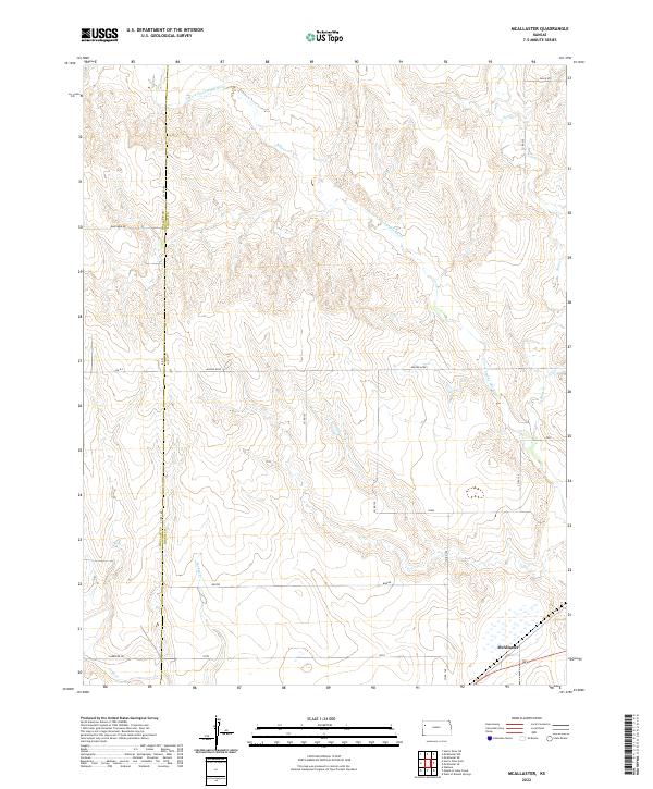 2022 McAllaster2022 Print · USGSWestern Logan County is mapped here during the early 2020s, showing a landscape defined by high plains drainage and rural section lines. Researchers can trace the N Fork Smoky Hill River and locate local points like McAllaster and Eagle Eye.
 - 2022 Map of Oakley South, 2022 Print
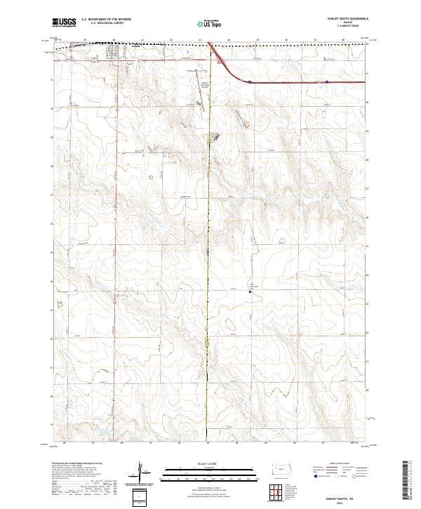 2022 Oakley South2022 Print · USGSThe northern reaches of Logan and Gove Counties come into focus in the 2020s, centered on the agricultural plains south of Oakley. Researchers can trace old routes like Old Hwy 40 and locate genealogy sites such as the Zion Norwegian Cem near the fork of N Br Hackberry Cr.
 - 2022 Map of Oakley North, 2022 Print
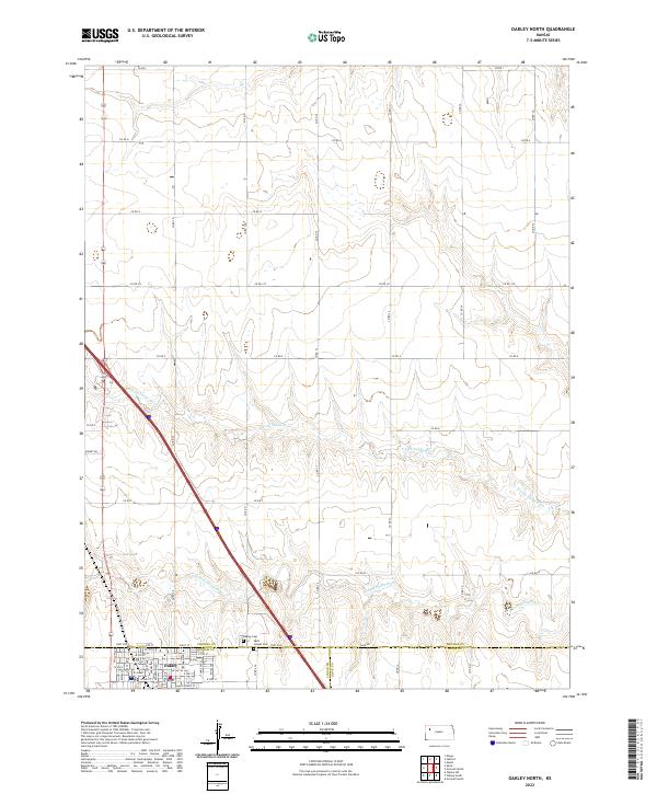 2022 Oakley North2022 Print · USGSThe High Plains of western Kansas are surveyed here in the early twenty-first century, centered on the tri-county junction of Thomas, Logan, and Gove. Local researchers can map the streets of Oakley or locate historic sites like Oakley Cem and Saint Joseph Cem.
 - 2022 Map of Lake Scott NE, 2022 Print
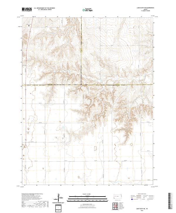 2022 Lake Scott NE2022 Print · USGSThe High Plains at the intersection of Logan, Gove, and Scott counties are captured here in the early twenty-first century. Genealogists and local historians can locate Keystone Cem, trace the drainage of Hell Cr, and identify the area around Big Springs.
 - 2022 Map of Mouth of Lake Creek, 2022 Print
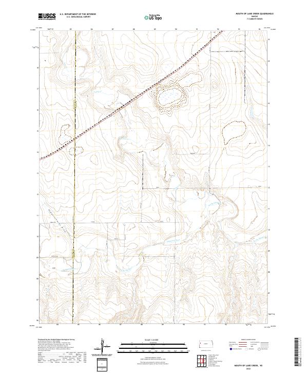 2022 Mouth of Lake Creek2022 Print · USGSThe high plains of Western Kansas meet the Smoky Hill River valley in this detailed 2022 survey. Genealogists and researchers can trace family-named landmarks like Depperschmidt Draw and remote routes such as Pebble Rd or Outpost Rd.
 - 2022 Map of West of Russell Springs, 2022 Print
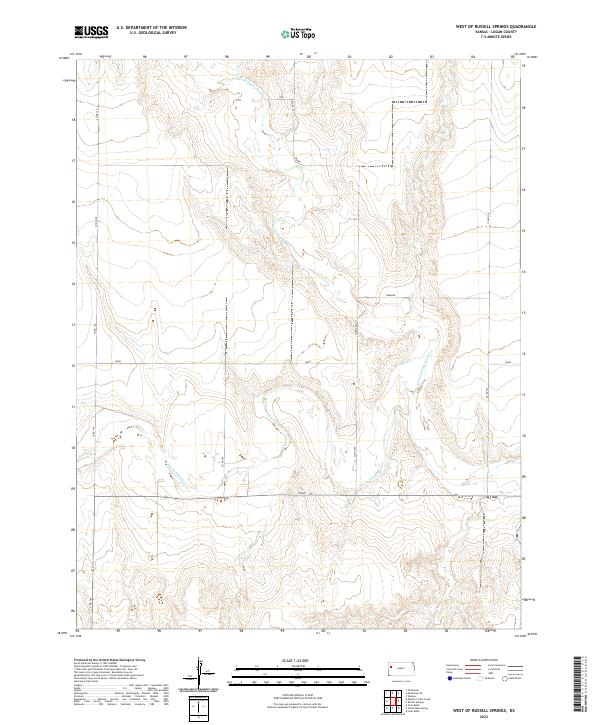 2022 West of Russell Springs2022 Print · USGSLogan County, Kansas, is seen here in the early 2020s where the High Plains landscape meets the winding drainage of the Smoky Hill River system. Local researchers can trace the convergence of the N Fork Smoky Hill River and navigate rural routes like Osage, Rawhide, and Quail.
 - 2022 Map of Beulah Cemetery, 2022 Print
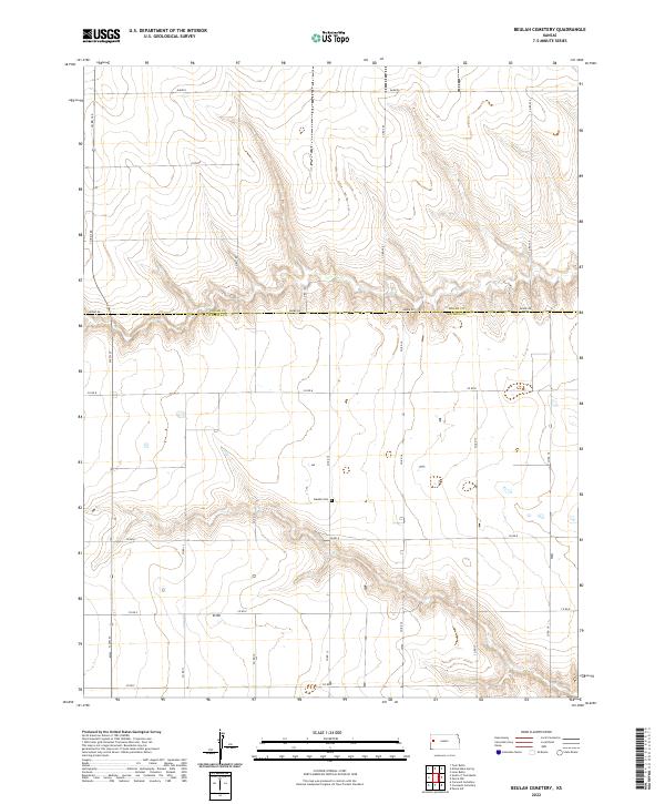 2022 Beulah Cemetery2022 Print · USGSThe western Kansas plains along the Logan and Wichita County border are captured here in the early twenty-first century. Genealogists and researchers can trace the rural landscape via the section-line roads to the Beulah Cem and the drainages of the Dakota territory.
 - 2022 Map of Elkader NE, 2022 Print
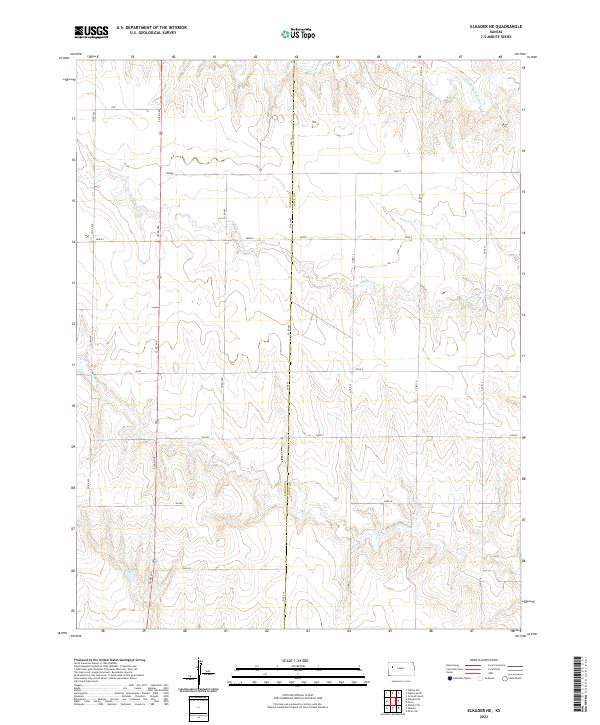 2022 Elkader NE2022 Print · USGSThe Logan and Gove county line in Western Kansas is captured here in the early twenty-first century, showing a high-plains landscape defined by branching creek systems. Trace the winding paths of S Br Hackberry Cr and Plum Cr or the section divisions labeled Osage and Navajo.
 - 2022 Map of Nickel Mine Spring, 2022 Print
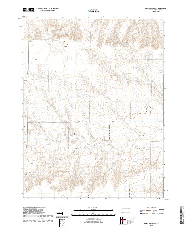 2022 Nickel Mine Spring2022 Print · USGSWestern Logan County is defined by its dramatic high plains topography and systematic section-line roads in this modern survey. Researchers can trace the intersection of named rural routes like Jayhawk and Lariat with natural landmarks such as Nickel Mine Spring.
 - 2022 Map of Russell Springs SE, 2022 Print
 2022 Russell Springs SE2022 Print · USGSLogan County's high plains are defined by the winding Smoky Hill River and a geometric grid of rural roads in this modern survey. Researchers can trace the path of the river or locate specific parcels near named routes like Lariat, Indian, and Elk.
 - 2022 Map of Lake Scott, 2022 Print
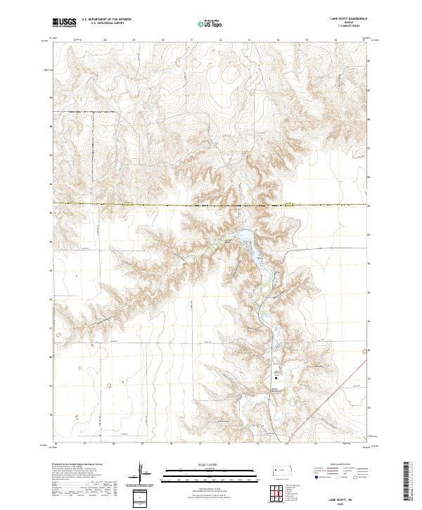 2022 Lake Scott2022 Print · USGSWestern Kansas canyon country is captured here during the early twenty-first century, spanning the border of Logan and Scott counties. Local historians can locate landmarks like the White Woman's Grave, Suicide Bluffs, and Barrel Springs.
 - 2022 Map of Elkader SW, 2022 Print
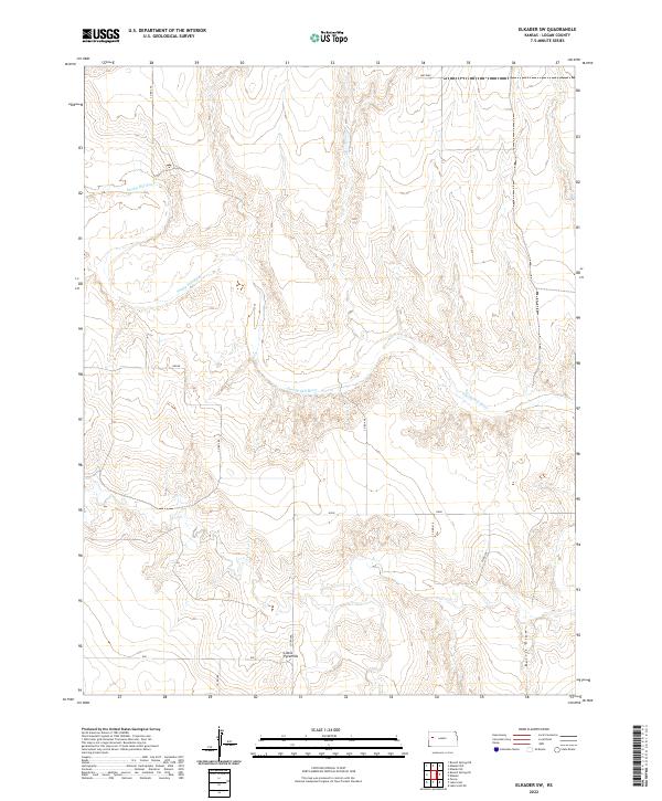 2022 Elkader SW2022 Print · USGSWestern Kansas prairie life is defined by the winding path of the Smoky Hill River in this recent survey of Logan County. Researchers can locate distinct geological landmarks like the Little Pyramids and follow rural routes such as Mustang and Indian.
 - 2022 Map of Pence NW, 2022 Print
 2022 Pence NW2022 Print · USGSCovers Logan County, including Leoti Township, Wichita County, and other nearby areas
 - 2022 Map of South of Twin Butte, 2022 Print
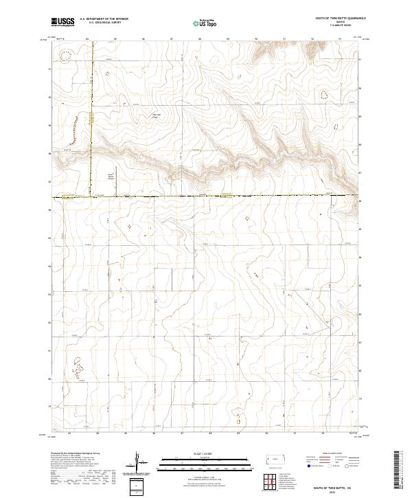 2022 South of Twin Butte2022 Print · USGSWichita County and the surrounding High Plains are captured here in the early twenty-first century as a landscape of vast ranchlands and section lines. Genealogists and historians can trace local landmarks like Harrison Flats and the Aero B Ranch Airport.
 - 2022 Map of Twin Butte, 2022 Print
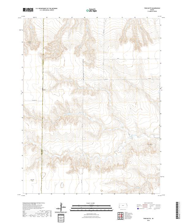 2022 Twin Butte2022 Print · USGSHigh Plains ranching and the rugged breaks of Logan County are shown here as they appeared in the early 2020s. Researchers can trace land boundaries across Harrison Flats and locate landmarks like Twin Butte and Wallace Bluffs.
 - 2022 Map of Pence, 2022 Print
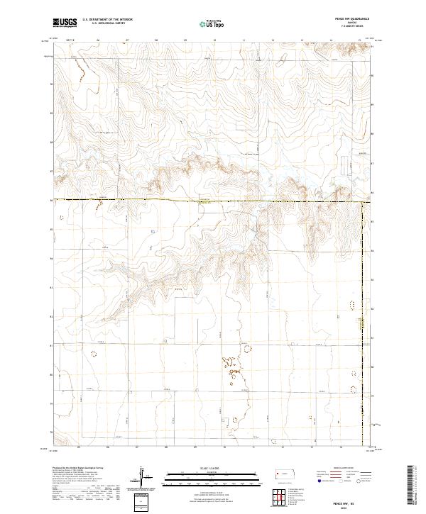
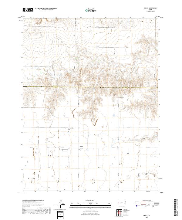 2022 Pence2022 Print · USGSWestern Kansas high plains and canyon breaks are captured here during the early 2020s. Genealogists can locate family sites near the Pence Cem and Scott Mennonite Cem, or trace the rugged geography of Timber Canyon.
Showing maps 1-25 of 30
Top cities of Logan County
- Oakley historical maps
- Winona historical maps
- Monument historical maps
- McAllaster historical maps
- Russell Springs historical maps
- Elkader historical maps
Frequently asked questions
- What are the different types of historical maps available for Logan County?
- What is the oldest map of Logan County?
- Where can I purchase historical maps of Logan County for my home or office?
- Where can I download high-res historical maps of Logan County?
- Are there historical topographic maps available for Logan County?
- Is there historical aerial imagery available for Logan County?
- Where are historical maps of Logan County sourced from?