2000-2009 Maps of Logan County, Kansas
Explore 27 historic maps of Logan County from 2000-2009. These maps offer a rare glimpse into what life looked like during the 2000s — showing old roads, neighborhoods, homes, and landmarks that have changed or disappeared over time.
Whether you're researching your family's past, planning a metal detecting trip, or studying how Logan County's landscape evolved across the 2000s, these high-resolution maps are a powerful tool for exploring the history of this region.
- Focus on a specific era: All maps on this page are from the 2000s, giving you a focused view of this time period.
- See what’s changed: Compare century-old streets, trails, and buildings to today's modern landscape using overlays and satellite layers.
- Research with precision: Use these maps for genealogy, historical research, land use analysis, or educational projects.
- View, download, or print: Maps are fully viewable online in high resolution, and can be downloaded or printed for your own records.
Start exploring Logan County's history through authentic maps from the 2000s. This is your window into the past.
Logan County, KS maps
(27)- 2009 Map of Twin Butte, 2009 Print
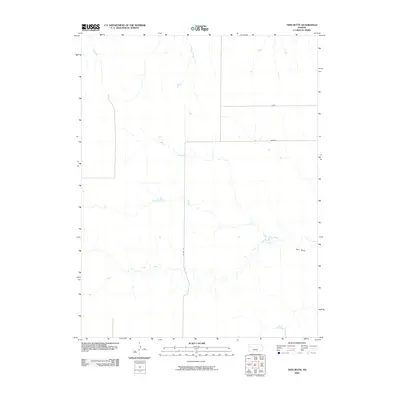 2009 Twin Butte2009 Print · USGSWestern Kansas at the beginning of the twenty-first century reveals a landscape defined more by its natural drainage than by urban growth. You can trace the path of Twin Butte Creek as it winds toward the landmark Twin Butte, alongside local routes like Jayhawk.
 - 2009 Map of West of Russell Springs, 2009 Print
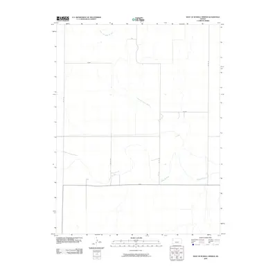 2009 West of Russell Springs2009 Print · USGSLogan County, Kansas, is captured here in the early twenty-first century, showing the meeting of the Smoky Hill River and its North Fork. Researchers can trace the rural road network including Osage, Topeka, and Rawhide through this prairie landscape.
 - 2009 Map of McAllaster NE, 2009 Print
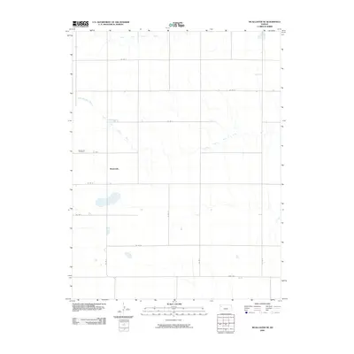 2009 McAllaster NE2009 Print · USGSThe high plains of Thomas County are captured in this early 21st-century survey, centered on the rural settlement of Brownville. Genealogists and local historians can trace family locations near the Brownville Cemetery and identify landmarks like Fort Fox.
 - 2009 Map of McAllaster, 2009 Print
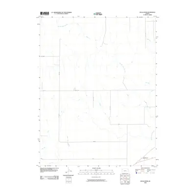 2009 McAllaster2009 Print · USGSLogan County, Kansas, is captured at the dawn of the millennium, showing a High Plains landscape centered on the North Fork Smoky Hill River. Genealogists and local historians can trace the rural grid around McAllaster and find named corridors like Vista and Wagon.
 - 2009 Map of McAllaster NW, 2009 Print
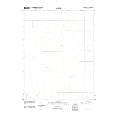 2009 McAllaster NW2009 Print · USGSWallace County, Kansas, is captured in the early 2000s, showing a vast ranching landscape at the headwaters of several major rivers. Genealogists and local historians can locate the Lava Cemetery or trace the routes of Fort Fox and Sand Creek.
 - 2009 Map of McAllaster SE, 2009 Print
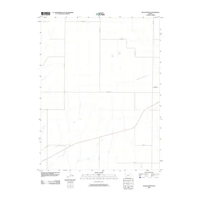 2009 McAllaster SE2009 Print · USGSLogan County, Kansas, is shown at the start of the twenty-first century as a landscape of broad agricultural sections and prairie rivers. Local researchers can locate family-named landmarks like the Lowe Landing Strip and distinct locales such as Wagon and Apache Acre.
 - 2009 Map of Mouth of Lake Creek, 2009 Print
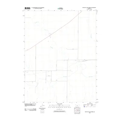 2009 Mouth of Lake Creek2009 Print · USGSWallace County, Kansas, is documented here in the early twenty-first century as a landscape of river valleys and historic western trails. Researchers can trace the path of the Butterfield Overland Trl as it passes near the Smoky Hill River and Turkey Creek.
 - 2009 Map of Pence NW, 2009 Print
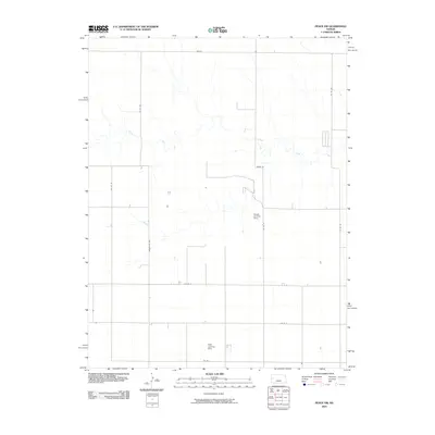 2009 Pence NW2009 Print · USGSWichita County agriculture is captured in this survey from the late 2000s, showing a landscape defined by section lines and water management. Researchers can trace rural infrastructure through Chalk Creek and aviation landmarks like Kough Landing Strip.
 - 2009 Map of Pence, 2009 Print
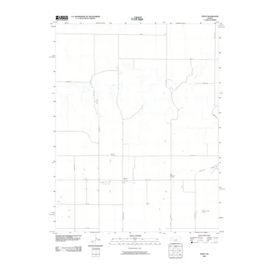 2009 Pence2009 Print · USGSThe High Plains of Scott County are captured here in the early twenty-first century as a landscape of grid-line roads and sudden canyons. Genealogists and local historians can locate the Pence Cemetery, Scott Mennonite Cemetery, and trace the path of Chalk Creek through the prairie.
 - 2009 Map of Lake Scott, 2009 Print
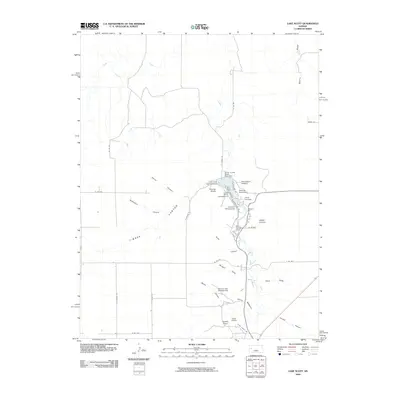 2009 Lake Scott2009 Print · USGSThe Western Kansas breaks come alive in the late 2000s, centered on the canyons and springs of the Scott County vicinity. Historians can trace the geography of the Squaws Den Battleground and local landmarks like Devils Backbone and the McBride Monument.
 - 2009 Map of Lake Scott NE, 2009 Print
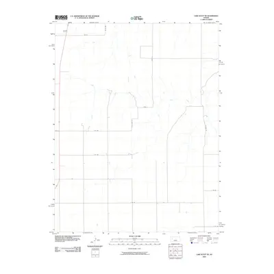 2009 Lake Scott NE2009 Print · USGSLogan County, Kansas, is captured in the early twenty-first century as a landscape of structured section lines and prairie drainage. Genealogists and local historians can trace family locations near Keystone Cemetery or follow the path of Hell Creek through the plains.
 - 2009 Map of Elkader NE, 2009 Print
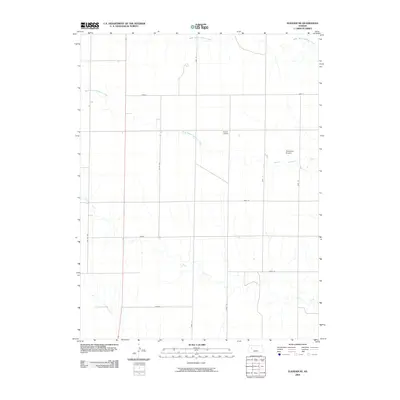 2009 Elkader NE2009 Print · USGSLogan County's high plains are shown in the early 2000s, where rural grid roads intersect the winding courses of the Hackberry Creek system. Researchers can locate remote landmarks like Evans Airport, Stevenson Airport, and the drainage of Plum Creek.
 - 2009 Map of Elkader SW, 2009 Print
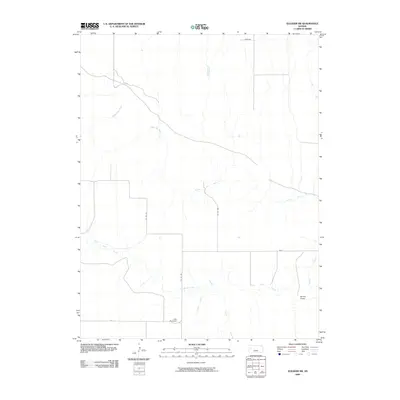 2009 Elkader SW2009 Print · USGSWestern Kansas ranching country is captured here during the first decade of the new millennium, showcasing a landscape of high plains and deep creek beds. Genealogists and land researchers can trace the winding Smoky Hill River or locate the Little Pyramids and Burris Draw.
 - 2009 Map of Elkader NW, 2009 Print
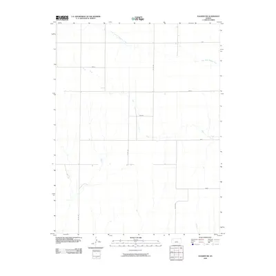 2009 Elkader NW2009 Print · USGSLogan County’s rural high plains are documented here at the end of the decade, showing a landscape defined by organized section lines and creek drainages. Genealogists and researchers can trace local routes like Topeka and Osage roads as they cross Plum Creek and South Branch Hackberry Creek.
 - 2009 Map of Elkader, 2009 Print
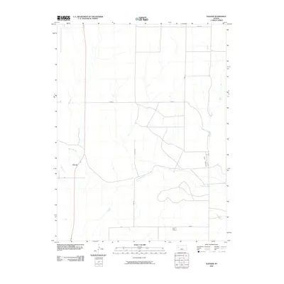 2009 Elkader2009 Print · USGSLogan County in the early twenty-first century reveals a landscape of high plains agriculture and striking geological features. Genealogists and local historians can locate the Pyramid View Cemetery and trace the proximity of Elkader to the landmark Chalk Pyramids.
 - 2009 Map of Russell Springs NE, 2009 Print
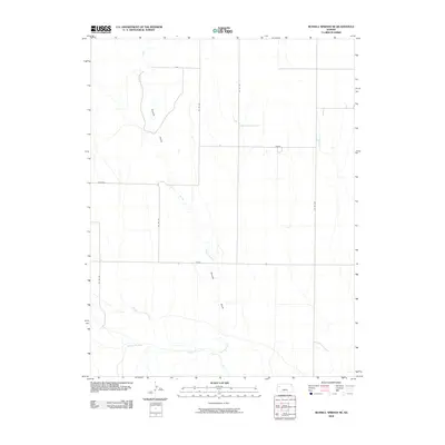 2009 Russell Springs NE2009 Print · USGSThe High Plains of Logan County appear in this 2009 survey, showing the deep-set drainage of the Smoky Hill River and its tributaries. Researchers can trace the rural road grid through locally named routes like Rawhide and Seneca as they cross Sixmile Creek.
 - 2009 Map of Monument, 2009 Print
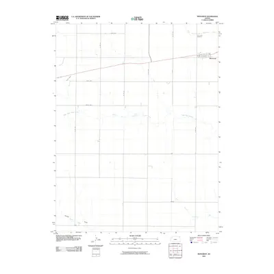 2009 Monument2009 Print · USGSThe High Plains of western Kansas are captured here during the first decade of the 2000s, showing the intersection of rural life and the vast prairie. Researchers can trace the local street grid of Monument and locate the Monument Cemetery near the winding North Branch Hackberry Creek.
 - 2009 Map of Winona, 2009 Print
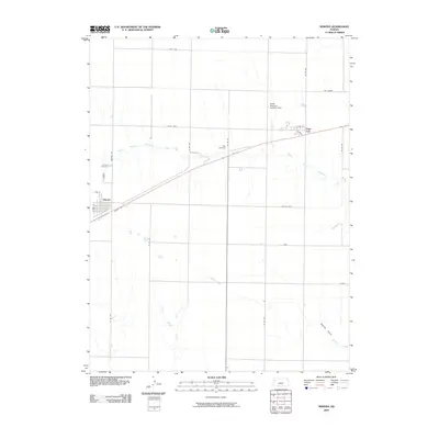 2009 Winona2009 Print · USGSWinona and the surrounding high plains of Logan County are captured here just before the end of the decade. Genealogists and local historians can trace family locations near Winona Cemetery, the settlement of Page City, or the Keller Brothers Landing Strip.
 - 2009 Map of Lone Butte, 2009 Print
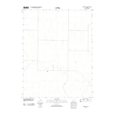 2009 Lone Butte2009 Print · USGSLogan County in the early twenty-first century remains a landscape of wide-open spaces and section-line roads. Genealogists and historians can trace the rural layout of the region through landmarks like Lone Butte and the named thoroughfares of Jayhawk and Gold.
 - 2009 Map of Oakley South, 2009 Print
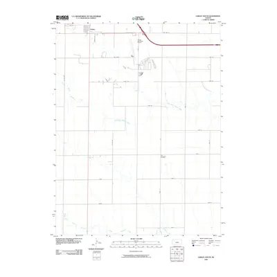 2009 Oakley South2009 Print · USGSOakley and the surrounding Kansas plains appear in this 2009 survey during a period of modern agricultural development. Researchers can locate the Zion Norwegian Cemetery and trace the paths of the North Branch Hackberry Creek and Middle Branch Hackberry Creek.
 - 2009 Map of Oakley SW, 2009 Print
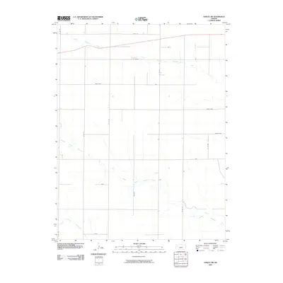 2009 Oakley SW2009 Print · USGSLogan County, Kansas, is captured here in the early twenty-first century as a landscape of wide-open plains and precise section-line roads. Trace the distinctively named locales of Eagle Eye, Day Dream, and Zest along the branches of North Branch Hackberry Creek.
 - 2009 Map of Russell Springs, 2009 Print
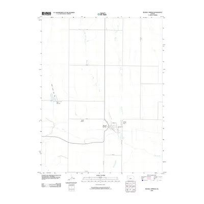 2009 Russell Springs2009 Print · USGSRussell Springs and the Logan County grasslands are captured here in the early twenty-first century as the community persists along the Smoky Hill River. Local historians can trace the town's layout and locate nearby landmarks like the Russell Springs Cemetery and Logan County State Park.
 - 2009 Map of Winona NW, 2009 Print
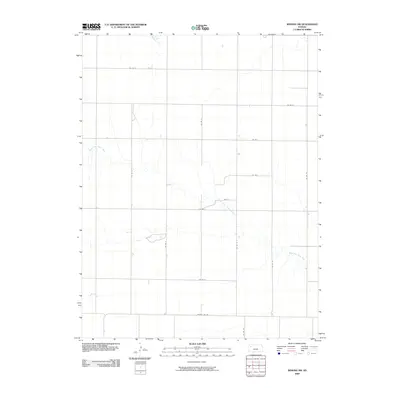 2009 Winona NW2009 Print · USGSLogan County, Kansas, is seen here at the start of the twenty-first century, defined by its vast agricultural grid and high plains drainage. Trace family land along County Line Rd or follow the path of the South Fork Saline River.
 - 2009 Map of Oakley North, 2009 Print
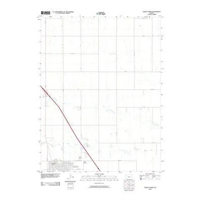 2009 Oakley North2009 Print · USGSOakley and the surrounding Logan County plains are captured here in the early twenty-first century as they center around the forks of the Saline River. Researchers can trace local history through sites like the Logan County Fairgrounds and both the Oakley Cemetery and Saint Joseph Cemetery.
 - 2009 Map of Russell Springs SE, 2009 Print
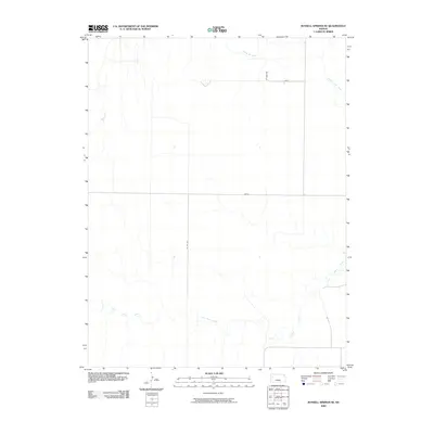 2009 Russell Springs SE2009 Print · USGSLogan County, Kansas, is documented here in the early twenty-first century as a landscape defined by its waterways and rural road network. Researchers can trace the path of the Smoky Hill River and follow the routes of Lariat and Indian across the plains.
Showing maps 1-25 of 27
Top cities of Logan County
- Oakley historical maps
- Winona historical maps
- Monument historical maps
- McAllaster historical maps
- Russell Springs historical maps
- Elkader historical maps
Frequently asked questions
- What are the different types of historical maps available for Logan County?
- What is the oldest map of Logan County?
- Where can I purchase historical maps of Logan County for my home or office?
- Where can I download high-res historical maps of Logan County?
- Are there historical topographic maps available for Logan County?
- Is there historical aerial imagery available for Logan County?
- Where are historical maps of Logan County sourced from?